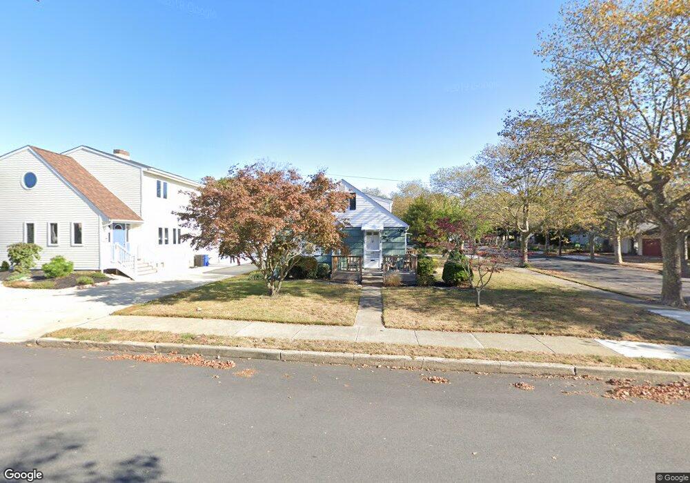
37 E Dawes Ave Somers Point, NJ 08244
Estimated Value: $298,009 - $430,000
--
Bed
--
Bath
1,089
Sq Ft
$343/Sq Ft
Est. Value
About This Home
This home is located at 37 E Dawes Ave, Somers Point, NJ 08244 and is currently estimated at $373,502, approximately $342 per square foot. 37 E Dawes Ave is a home located in Atlantic County with nearby schools including Mainland Regional High School, ChARTer TECH High School for the Performing Arts, and Saint Joseph Regional School.
Ownership History
Date
Name
Owned For
Owner Type
Purchase Details
Closed on
Nov 22, 2024
Sold by
Glenn James G and Glenn Joan M
Bought by
Glenn Joan M
Current Estimated Value
Purchase Details
Closed on
Oct 6, 2016
Sold by
Joan Glenn and Joan Fisher
Bought by
Glenn James G and Glenn Joan M
Purchase Details
Closed on
Nov 21, 2013
Sold by
Fisher Mary J
Bought by
Fisher Mary J and Glenn Joan M
Create a Home Valuation Report for This Property
The Home Valuation Report is an in-depth analysis detailing your home's value as well as a comparison with similar homes in the area
Home Values in the Area
Average Home Value in this Area
Purchase History
| Date | Buyer | Sale Price | Title Company |
|---|---|---|---|
| Glenn Joan M | -- | None Listed On Document | |
| Glenn James G | $80,000 | -- | |
| Fisher Mary J | -- | None Available |
Source: Public Records
Tax History Compared to Growth
Tax History
| Year | Tax Paid | Tax Assessment Tax Assessment Total Assessment is a certain percentage of the fair market value that is determined by local assessors to be the total taxable value of land and additions on the property. | Land | Improvement |
|---|---|---|---|---|
| 2025 | $5,157 | $144,200 | $75,400 | $68,800 |
| 2024 | $5,157 | $144,200 | $75,400 | $68,800 |
| 2023 | $4,818 | $144,200 | $75,400 | $68,800 |
| 2022 | $4,818 | $144,200 | $75,400 | $68,800 |
| 2021 | $4,746 | $144,200 | $75,400 | $68,800 |
| 2020 | $4,649 | $144,200 | $75,400 | $68,800 |
| 2019 | $4,518 | $144,200 | $75,400 | $68,800 |
| 2018 | $4,455 | $153,400 | $75,400 | $78,000 |
| 2017 | $4,286 | $153,400 | $75,400 | $78,000 |
| 2016 | $4,080 | $153,400 | $75,400 | $78,000 |
| 2015 | $4,036 | $153,400 | $75,400 | $78,000 |
| 2014 | $3,892 | $153,400 | $75,400 | $78,000 |
Source: Public Records
Map
Nearby Homes
- 29 E Pierson Ave
- 118 E Wilmont Ave
- 112 E Pierson Ave
- 114 E Pierson Ave
- 25 W Pierson Ave
- 33 W Meyran Ave
- 101 E Johnson Ave
- 109 E Cedar Ave
- 123 E Cedar Ave
- 25 Shore Rd
- 301 Bliss Ave
- 11 Shore Rd Unit 7D
- 206 Philadelphia Ave
- 421 Shore Rd
- 2 Shore Rd
- 137 W Johnson Ave
- 19 E Ocean Heights Ave
- 1102 Jesse Dr
- 2102 Angelina Ln
- 6 Abbey Rd
- 35 E Dawes Ave
- 101 E Dawes Ave
- 33 E Dawes Ave
- 40 E Meyran Ave
- 34 E Meyran Ave
- 27 E Dawes Ave
- 102 E Meyran Ave
- 201 Sunny Ave
- 34 E Dawes Ave
- 26 E Meyran Ave
- 30 E Dawes Ave
- 104 E Meyran Ave
- 25 E Dawes Ave
- 28 E Dawes Ave
- 100 E Dawes Ave
- 22 E Meyran Ave
- 106 E Meyran Ave
- 235 Sunny Ave
- 23 E Dawes Ave
- 104 E Dawes Ave