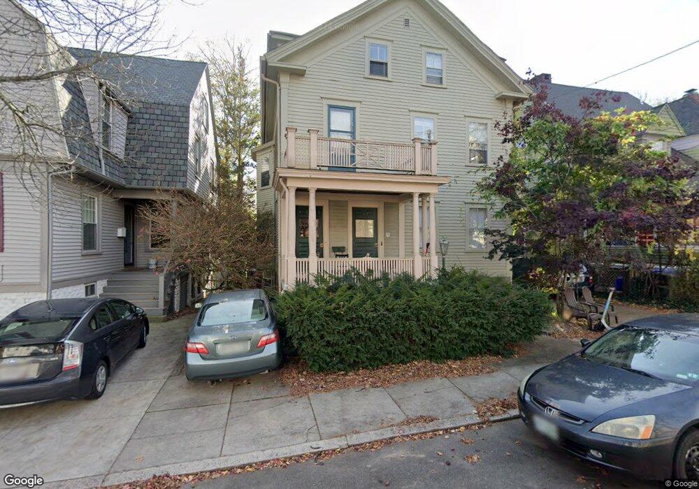
37 E Manning St Providence, RI 02906
Wayland NeighborhoodEstimated Value: $1,059,000 - $1,508,993
4
Beds
4
Baths
4,352
Sq Ft
$290/Sq Ft
Est. Value
About This Home
This home is located at 37 E Manning St, Providence, RI 02906 and is currently estimated at $1,263,248, approximately $290 per square foot. 37 E Manning St is a home located in Providence County with nearby schools including Wheeler School, French-American School of Rhode Island, and Moses Brown School.
Ownership History
Date
Name
Owned For
Owner Type
Purchase Details
Closed on
Oct 18, 2024
Sold by
Jerod C Ehrlich T C and Jerod Ehrlich
Bought by
Ehrlich Llc
Current Estimated Value
Purchase Details
Closed on
Dec 28, 2016
Sold by
Salvo Jacquelie A and Salvo Donna J
Bought by
Jerold W Ehrilich 2016 and Ehrilich
Create a Home Valuation Report for This Property
The Home Valuation Report is an in-depth analysis detailing your home's value as well as a comparison with similar homes in the area
Home Values in the Area
Average Home Value in this Area
Purchase History
| Date | Buyer | Sale Price | Title Company |
|---|---|---|---|
| Ehrlich Llc | -- | None Available | |
| Ehrlich Llc | -- | None Available | |
| Jerold W Ehrilich 2016 | $500,000 | -- | |
| Jerold W Ehrilich 2016 | $500,000 | -- | |
| Jerold W Ehrilich 2016 | $500,000 | -- |
Source: Public Records
Tax History
| Year | Tax Paid | Tax Assessment Tax Assessment Total Assessment is a certain percentage of the fair market value that is determined by local assessors to be the total taxable value of land and additions on the property. | Land | Improvement |
|---|---|---|---|---|
| 2025 | $15,036 | $1,074,000 | $445,500 | $628,500 |
| 2024 | $14,917 | $812,900 | $340,200 | $472,700 |
| 2023 | $14,917 | $812,900 | $340,200 | $472,700 |
| 2022 | $14,470 | $812,900 | $340,200 | $472,700 |
| 2021 | $13,366 | $544,200 | $225,200 | $319,000 |
| 2020 | $13,366 | $544,200 | $225,200 | $319,000 |
| 2019 | $13,366 | $544,200 | $225,200 | $319,000 |
| 2018 | $13,123 | $410,600 | $207,700 | $202,900 |
| 2017 | $12,947 | $405,100 | $207,700 | $197,400 |
| 2016 | $12,947 | $405,100 | $207,700 | $197,400 |
| 2015 | $12,300 | $371,600 | $207,700 | $163,900 |
| 2014 | $12,542 | $371,600 | $207,700 | $163,900 |
| 2013 | $12,542 | $371,600 | $207,700 | $163,900 |
Source: Public Records
Map
Nearby Homes
- 45 E George St
- 14 Amy St
- 18 Amy St
- 355 Angell St Unit 7
- 400 Angell St
- 124 Pitman St
- 20 Taber Ave
- 15 Humboldt Ave
- 42 Fremont St
- 42 E Transit St
- 30 S Angell St Unit 2
- 228 Medway St
- 20 Governor St
- 16 Governor St
- 670 Wickenden St
- 125 Taber Ave
- 427 Wickenden St
- 90 University Ave
- 374 Wickenden St
- 134 Irving Ave
- 41 E Manning St
- 31 E Manning St
- 34 Pitman St
- 45 E Manning St Unit 47
- 38 Pitman St
- 25 E Manning St
- 40 Pitman St
- 28 Pitman St
- 26-28 Pitman St
- 51 E Manning St
- 46 E Manning St
- 46 E Manning St Unit 2nd Floor
- 26 Pitman St
- 26 E Manning St
- 48 E Manning St Unit 2
- 42 E Manning St
- 44 Pitman St Unit 1
- 44 Pitman St Unit 2
- 38 E Manning St
- 329 Ives St
Your Personal Tour Guide
Ask me questions while you tour the home.