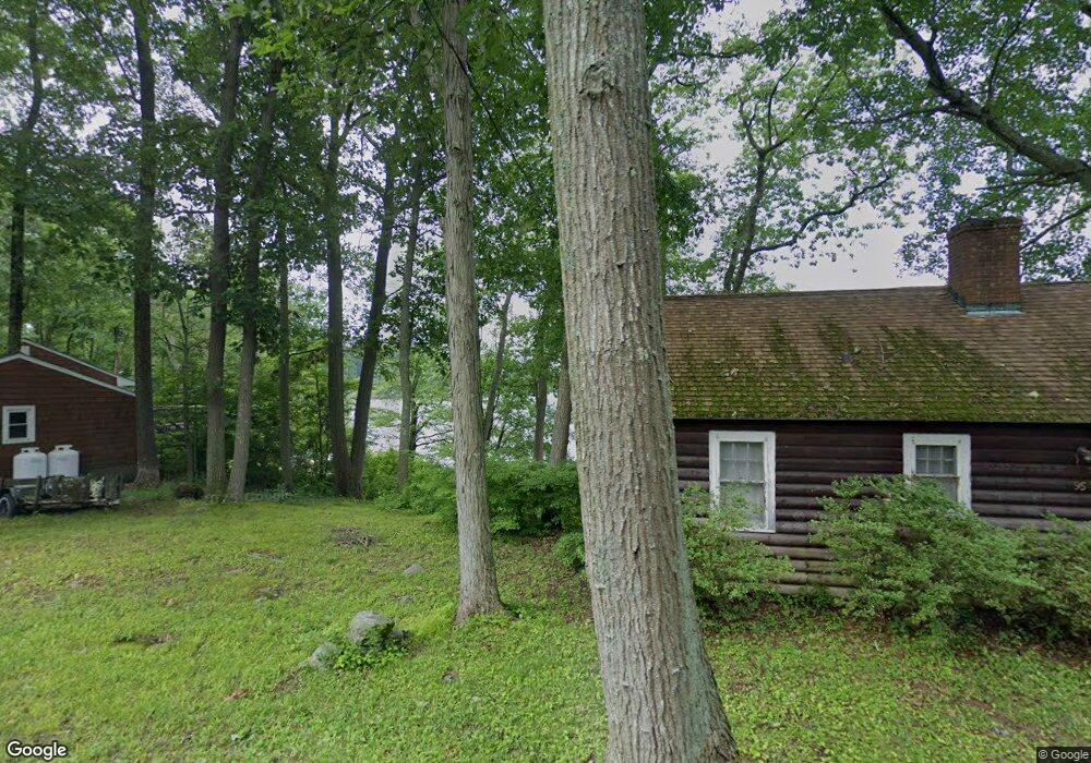
37 E Shore Dr Higganum, CT 06441
Estimated Value: $341,000 - $391,000
2
Beds
1
Bath
1,210
Sq Ft
$301/Sq Ft
Est. Value
About This Home
This home is located at 37 E Shore Dr, Higganum, CT 06441 and is currently estimated at $363,841, approximately $300 per square foot. 37 E Shore Dr is a home located in Middlesex County with nearby schools including Haddam-Killingworth High School and Haddam-Killingworth Intermediate School.
Ownership History
Date
Name
Owned For
Owner Type
Purchase Details
Closed on
Nov 5, 2024
Sold by
Mancini Jennifer
Bought by
Jennifer Mancini Ret
Current Estimated Value
Purchase Details
Closed on
Jul 1, 2011
Sold by
Plourd Joseph and Plourd Joan
Bought by
Mazur Margaret and Mazur Andrew
Purchase Details
Closed on
Oct 31, 2001
Sold by
Flemming James D
Bought by
Sherman Scott R and Sherman Dawn M
Home Financials for this Owner
Home Financials are based on the most recent Mortgage that was taken out on this home.
Original Mortgage
$135,850
Interest Rate
6.82%
Create a Home Valuation Report for This Property
The Home Valuation Report is an in-depth analysis detailing your home's value as well as a comparison with similar homes in the area
Home Values in the Area
Average Home Value in this Area
Purchase History
| Date | Buyer | Sale Price | Title Company |
|---|---|---|---|
| Jennifer Mancini Ret | -- | None Available | |
| Jennifer Mancini Ret | -- | None Available | |
| Mazur Margaret | $20,000 | -- | |
| Sherman Scott R | $143,000 | -- | |
| Mazur Margaret | $20,000 | -- | |
| Sherman Scott R | $143,000 | -- |
Source: Public Records
Mortgage History
| Date | Status | Borrower | Loan Amount |
|---|---|---|---|
| Previous Owner | Sherman Scott R | $103,250 | |
| Previous Owner | Sherman Scott R | $135,100 | |
| Previous Owner | Sherman Scott R | $135,850 |
Source: Public Records
Tax History Compared to Growth
Tax History
| Year | Tax Paid | Tax Assessment Tax Assessment Total Assessment is a certain percentage of the fair market value that is determined by local assessors to be the total taxable value of land and additions on the property. | Land | Improvement |
|---|---|---|---|---|
| 2025 | $4,825 | $140,480 | $83,070 | $57,410 |
| 2024 | $4,825 | $140,480 | $83,070 | $57,410 |
| 2023 | $4,758 | $140,480 | $83,070 | $57,410 |
| 2022 | $4,542 | $140,480 | $83,070 | $57,410 |
| 2021 | $4,518 | $140,480 | $83,070 | $57,410 |
| 2020 | $3,906 | $123,260 | $58,600 | $64,660 |
| 2019 | $3,906 | $123,260 | $58,600 | $64,660 |
| 2018 | $3,906 | $123,260 | $58,600 | $64,660 |
| 2017 | $3,906 | $123,260 | $58,600 | $64,660 |
| 2016 | $3,846 | $123,260 | $58,600 | $64,660 |
| 2015 | $3,872 | $124,090 | $58,600 | $65,490 |
| 2014 | $3,833 | $124,090 | $58,600 | $65,490 |
Source: Public Records
Map
Nearby Homes
- 12 Rachel Ct
- 13 Cranberry Meadow Ln
- 28 Fieldstone Ln
- 882 Killingworth Rd
- 63 Burr Rd
- 16 Hidden Lake Rd
- 279 Pokorny Rd
- 511 Route 81
- 12 Jackson Rd
- 275 Route 148
- 52 Sima Rd
- 24 Boulder Trail
- 16 Bridlepath Trail
- 7 Little Fawn Trail
- 63 Laurel Grove Dr
- 11 Pleasant Trail
- 8 Route 148
- 72 Dickinson Rd
- 8 Livemore Trail
- 33 Whitewood Rd