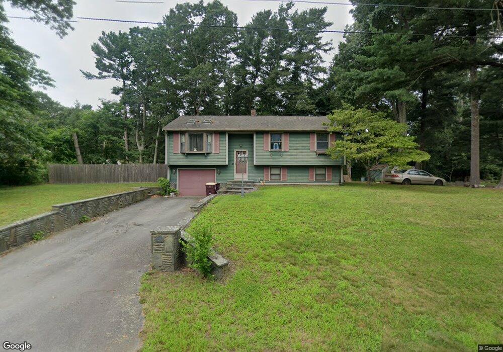
37 Fairway Dr Acushnet, MA 02743
Sherwood Forest NeighborhoodEstimated Value: $489,000 - $528,000
--
Bed
1
Bath
1,726
Sq Ft
$295/Sq Ft
Est. Value
About This Home
This home is located at 37 Fairway Dr, Acushnet, MA 02743 and is currently estimated at $509,444, approximately $295 per square foot. 37 Fairway Dr is a home located in Bristol County with nearby schools including Acushnet Elementary School, Albert F Ford Middle School, and Alma del Mar Charter School.
Ownership History
Date
Name
Owned For
Owner Type
Purchase Details
Closed on
Oct 24, 2012
Sold by
Arruda David M and Arruda Karen J
Bought by
Arruda Karen J
Current Estimated Value
Home Financials for this Owner
Home Financials are based on the most recent Mortgage that was taken out on this home.
Original Mortgage
$135,500
Outstanding Balance
$94,383
Interest Rate
3.56%
Mortgage Type
New Conventional
Estimated Equity
$415,061
Purchase Details
Closed on
Sep 3, 1998
Sold by
Coulombe Michael J and Coulombe Arminda
Bought by
Arruda David M and Arruda Karen J
Purchase Details
Closed on
Dec 10, 1993
Sold by
Medeiros Richard J and Medeiros Kellie A
Bought by
Coulombe Michael J and Coulombe Arminda
Create a Home Valuation Report for This Property
The Home Valuation Report is an in-depth analysis detailing your home's value as well as a comparison with similar homes in the area
Home Values in the Area
Average Home Value in this Area
Purchase History
| Date | Buyer | Sale Price | Title Company |
|---|---|---|---|
| Arruda Karen J | -- | -- | |
| Arruda David M | $139,500 | -- | |
| Coulombe Michael J | $123,000 | -- |
Source: Public Records
Mortgage History
| Date | Status | Borrower | Loan Amount |
|---|---|---|---|
| Open | Arruda Karen J | $135,500 | |
| Previous Owner | Coulombe Michael J | $150,000 | |
| Previous Owner | Coulombe Michael J | $85,000 | |
| Previous Owner | Coulombe Michael J | $12,890 |
Source: Public Records
Tax History Compared to Growth
Tax History
| Year | Tax Paid | Tax Assessment Tax Assessment Total Assessment is a certain percentage of the fair market value that is determined by local assessors to be the total taxable value of land and additions on the property. | Land | Improvement |
|---|---|---|---|---|
| 2025 | $45 | $415,200 | $143,800 | $271,400 |
| 2024 | $4,391 | $384,800 | $125,900 | $258,900 |
| 2023 | $4,048 | $337,300 | $114,600 | $222,700 |
| 2022 | $4,268 | $321,600 | $107,900 | $213,700 |
| 2021 | $3,856 | $278,800 | $107,900 | $170,900 |
| 2020 | $3,886 | $278,800 | $107,900 | $170,900 |
| 2019 | $3,800 | $268,000 | $98,900 | $169,100 |
| 2018 | $3,699 | $256,500 | $98,900 | $157,600 |
| 2017 | $3,583 | $248,100 | $98,900 | $149,200 |
| 2016 | $3,349 | $230,500 | $92,100 | $138,400 |
| 2015 | $3,102 | $217,200 | $92,100 | $125,100 |
Source: Public Records
Map
Nearby Homes
- 13 Fairway Dr
- 5 Fairway Dr
- 67 Morses Ln
- 16 Morses Ln
- 1269 Bartlett St
- 1045 Forbes St
- 26 Rounseville St
- ES Acushnet Ave
- SS Charbonneau Ln
- 868 Phillips Rd
- 1063 Westgate St
- 649 Middle Rd
- 62 Longview Rd
- 700 Pine Hill Dr
- 2992 Acushnet Ave
- 2981 Acushnet Ave
- 850 Terry Ln
- 145 Heritage Dr
- 1044 Phillips Rd Unit 20
- 1044 Phillips Rd Unit 24