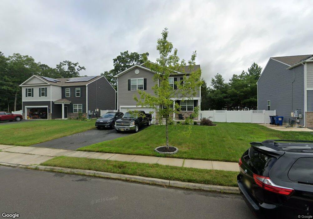
37 Fays Ct Galloway, NJ 08205
Estimated Value: $514,264 - $776,000
3
Beds
2
Baths
2,239
Sq Ft
$262/Sq Ft
Est. Value
About This Home
This home is located at 37 Fays Ct, Galloway, NJ 08205 and is currently estimated at $587,566, approximately $262 per square foot. 37 Fays Ct is a home located in Atlantic County with nearby schools including Oakcrest High School, Cedar Creek High School, and Assumption Regional Catholic School.
Ownership History
Date
Name
Owned For
Owner Type
Purchase Details
Closed on
Feb 21, 2020
Sold by
D R Horton Inc
Bought by
Brown Michael E and Jankowski Kara L
Current Estimated Value
Home Financials for this Owner
Home Financials are based on the most recent Mortgage that was taken out on this home.
Original Mortgage
$253,429
Outstanding Balance
$223,964
Interest Rate
3.5%
Mortgage Type
New Conventional
Estimated Equity
$363,602
Purchase Details
Closed on
Oct 2, 2018
Sold by
Gurwiez Holding Company Llc
Bought by
D R Horton Inc
Purchase Details
Closed on
Nov 5, 2004
Create a Home Valuation Report for This Property
The Home Valuation Report is an in-depth analysis detailing your home's value as well as a comparison with similar homes in the area
Home Values in the Area
Average Home Value in this Area
Purchase History
| Date | Buyer | Sale Price | Title Company |
|---|---|---|---|
| Brown Michael E | $279,980 | Title America Agency Corp | |
| D R Horton Inc | $1,656,000 | Title America Agency Corp | |
| -- | $600,000 | -- |
Source: Public Records
Mortgage History
| Date | Status | Borrower | Loan Amount |
|---|---|---|---|
| Open | Brown Michael E | $253,429 |
Source: Public Records
Tax History Compared to Growth
Tax History
| Year | Tax Paid | Tax Assessment Tax Assessment Total Assessment is a certain percentage of the fair market value that is determined by local assessors to be the total taxable value of land and additions on the property. | Land | Improvement |
|---|---|---|---|---|
| 2025 | $9,593 | $287,400 | $63,600 | $223,800 |
| 2024 | $9,593 | $287,400 | $63,600 | $223,800 |
| 2023 | $9,228 | $287,400 | $63,600 | $223,800 |
| 2022 | $9,228 | $287,400 | $63,600 | $223,800 |
| 2021 | $9,044 | $287,400 | $63,600 | $223,800 |
| 2020 | $8,901 | $287,400 | $63,600 | $223,800 |
| 2019 | $842 | $27,700 | $27,700 | $0 |
| 2018 | $854 | $27,700 | $27,700 | $0 |
| 2017 | $1,036 | $33,600 | $33,600 | $0 |
| 2016 | $1,027 | $33,600 | $33,600 | $0 |
| 2015 | $1,022 | $33,600 | $33,600 | $0 |
| 2014 | $988 | $33,600 | $33,600 | $0 |
Source: Public Records
Map
Nearby Homes
- 26 Fay's Ct
- 413 Genista Ave
- 416 Genista Ave
- 126 Cara Mia Ln
- 112 Cara Mia Ln
- 401 S Ash Ave
- 446 Chris Gaupp Dr
- 416 S Nectar Ave
- 412A S Nectar Ave
- 0 S Nectar Ave
- 460 Chris Gaupp Dr
- B:851/L:7 S Ash Ave
- L15 02 Ash Ave
- 0 S Quince Ave Unit 507629
- 0 S Quince Ave Unit 544997
- 477 Damson Ave
- 300 A S Nectar Ave
- 108 Buchanan Ave
- 0 Chris Gaupp Dr Unit 602698
- 0 Chris Gaupp Dr Unit NJAC2021938