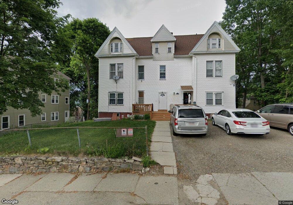
37 Forbes St Unit 2 Worcester, MA 01605
Brittan Square NeighborhoodEstimated Value: $529,000 - $682,000
3
Beds
1
Bath
1,200
Sq Ft
$477/Sq Ft
Est. Value
About This Home
This home is located at 37 Forbes St Unit 2, Worcester, MA 01605 and is currently estimated at $572,950, approximately $477 per square foot. 37 Forbes St Unit 2 is a home located in Worcester County with nearby schools including Jacob Hiatt Magnet School, Chandler Magnet, and Burncoat Middle School.
Ownership History
Date
Name
Owned For
Owner Type
Purchase Details
Closed on
Jun 15, 2016
Sold by
Lindgren Robert D and Lindgren Teresa A
Bought by
Lindgren Lt and Lindgren
Current Estimated Value
Create a Home Valuation Report for This Property
The Home Valuation Report is an in-depth analysis detailing your home's value as well as a comparison with similar homes in the area
Home Values in the Area
Average Home Value in this Area
Purchase History
We collect this data history from publicly available records. To have your information removed, we recommend requesting removal directly through your county’s website.
| Date | Buyer | Sale Price | Title Company |
|---|---|---|---|
| Lindgren Lt | -- | -- | |
| Lindgren Lt | -- | -- |
Source: Public Records
Mortgage History
We collect this data history from publicly available records. To have your information removed, we recommend requesting removal directly through your county’s website.
| Date | Status | Borrower | Loan Amount |
|---|---|---|---|
| Previous Owner | Lindgren Lt | $120,000 | |
| Previous Owner | Lindgren Lt | $87,000 |
Source: Public Records
Tax History
| Year | Tax Paid | Tax Assessment Tax Assessment Total Assessment is a certain percentage of the fair market value that is determined by local assessors to be the total taxable value of land and additions on the property. | Land | Improvement |
|---|---|---|---|---|
| 2025 | $7,215 | $547,000 | $98,500 | $448,500 |
| 2024 | $7,039 | $511,900 | $98,500 | $413,400 |
| 2023 | $6,509 | $453,900 | $85,700 | $368,200 |
| 2022 | $5,842 | $384,100 | $68,600 | $315,500 |
| 2021 | $4,777 | $293,400 | $54,900 | $238,500 |
| 2020 | $4,060 | $238,800 | $54,500 | $184,300 |
| 2019 | $4,174 | $231,900 | $47,600 | $184,300 |
| 2018 | $4,238 | $224,100 | $47,600 | $176,500 |
| 2017 | $4,021 | $209,200 | $47,600 | $161,600 |
| 2016 | $3,873 | $187,900 | $34,000 | $153,900 |
| 2015 | $3,771 | $187,900 | $34,000 | $153,900 |
| 2014 | $3,672 | $187,900 | $34,000 | $153,900 |
Source: Public Records
Map
Nearby Homes
- 41 Westminster St
- 21 Perkins St
- 15 Forestdale Rd
- 139 Lincoln St
- 178 Lincoln St Unit 15
- 104 1/2 Rodney St
- 19 Denmark St
- 27 Harlow St
- Lot 2 Ararat
- 40 Duxbury Rd
- 35 Oak Ave
- 145 Eastern Ave
- 80 Stanton St Unit 36
- 7 Liberty St
- 63 North St Unit A
- 2 Selden St
- 32 Hemans St
- 35 North St
- 80 Salisbury St Unit 101
- 34 Oran St
Your Personal Tour Guide
Ask me questions while you tour the home.