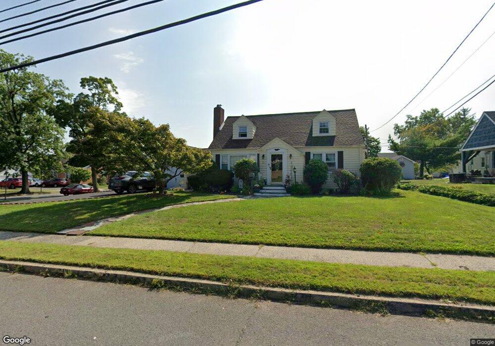
37 Franklin Blvd Unit A1 Somerset, NJ 08873
Estimated Value: $455,000 - $487,000
2
Beds
1
Bath
1,377
Sq Ft
$338/Sq Ft
Est. Value
About This Home
This home is located at 37 Franklin Blvd Unit A1, Somerset, NJ 08873 and is currently estimated at $465,265, approximately $337 per square foot. 37 Franklin Blvd Unit A1 is a home located in Somerset County with nearby schools including Franklin High School.
Ownership History
Date
Name
Owned For
Owner Type
Purchase Details
Closed on
Dec 20, 2006
Sold by
Allen Detriette Chalisa and Marshall Detriette Chalisa
Bought by
Lupo Dean
Current Estimated Value
Home Financials for this Owner
Home Financials are based on the most recent Mortgage that was taken out on this home.
Original Mortgage
$216,000
Interest Rate
7.87%
Mortgage Type
New Conventional
Purchase Details
Closed on
Nov 27, 2006
Sold by
Sabo Jennie
Bought by
Ramos Rolando and Ramos Mildred
Home Financials for this Owner
Home Financials are based on the most recent Mortgage that was taken out on this home.
Original Mortgage
$216,000
Interest Rate
7.87%
Mortgage Type
New Conventional
Create a Home Valuation Report for This Property
The Home Valuation Report is an in-depth analysis detailing your home's value as well as a comparison with similar homes in the area
Home Values in the Area
Average Home Value in this Area
Purchase History
| Date | Buyer | Sale Price | Title Company |
|---|---|---|---|
| Lupo Dean | $270,000 | None Available | |
| Ramos Rolando | $249,000 | -- |
Source: Public Records
Mortgage History
| Date | Status | Borrower | Loan Amount |
|---|---|---|---|
| Previous Owner | Lupo Dean | $216,000 | |
| Previous Owner | Ramos Rolando | $224,100 |
Source: Public Records
Tax History Compared to Growth
Tax History
| Year | Tax Paid | Tax Assessment Tax Assessment Total Assessment is a certain percentage of the fair market value that is determined by local assessors to be the total taxable value of land and additions on the property. | Land | Improvement |
|---|---|---|---|---|
| 2025 | $6,479 | $406,600 | $245,000 | $161,600 |
| 2024 | $6,479 | $355,600 | $245,000 | $110,600 |
| 2023 | $6,268 | $323,100 | $212,500 | $110,600 |
| 2022 | $5,880 | $287,100 | $176,500 | $110,600 |
| 2021 | $5,597 | $251,100 | $140,500 | $110,600 |
| 2020 | $5,228 | $228,600 | $118,000 | $110,600 |
| 2019 | $5,090 | $219,600 | $109,000 | $110,600 |
| 2018 | $5,143 | $219,600 | $109,000 | $110,600 |
| 2017 | $5,163 | $219,600 | $109,000 | $110,600 |
| 2016 | $5,207 | $219,600 | $109,000 | $110,600 |
| 2015 | $5,172 | $219,600 | $109,000 | $110,600 |
| 2014 | $5,095 | $219,600 | $109,000 | $110,600 |
Source: Public Records
Map
Nearby Homes
- 56 Marvin Ave
- 4 Fraley Dr
- 69 Robbins Ave
- 25 Oakbrook Place
- 240 New York Ave
- 497 Easton Ave
- 314 Easton Ave
- 11 Lincoln Place
- 30 Whittier Ave
- 32 Hawthorne Dr
- 168 Harrison St
- 7 Old Lane Highwood
- 15 Barker Rd
- 12 Barker Rd
- 612 Hamilton St
- 5 Lorain St
- 45 Duke St
- 10 Continental Rd
- 85 Winston Dr
- 225 Irvington Ave
- 98 Rodney Ave
- 41 Franklin Blvd
- 94 Rodney Ave
- 35 Franklin Blvd
- 79 Marvin Ave
- 104 Franklin Blvd
- 90 Rodney Ave
- 120 Rodney Ave
- 73 Marvin Ave
- 97 Rodney Ave
- 86 Rodney Ave
- 33 Franklin Blvd
- 82 Marvin Ave
- 116 Franklin Blvd
- 93 Rodney Ave
- 30 Franklin Blvd
- 111 Franklin Blvd
- 115 Franklin Blvd
- 76 Marvin Ave
- 82 Rodney Ave