37 Governor Paine Rd Prudence Island, RI 02872
Prudence Island NeighborhoodEstimated Value: $724,902 - $989,000
2
Beds
2
Baths
2,245
Sq Ft
$386/Sq Ft
Est. Value
About This Home
This home is located at 37 Governor Paine Rd, Prudence Island, RI 02872 and is currently estimated at $865,976, approximately $385 per square foot. 37 Governor Paine Rd is a home located in Newport County with nearby schools including Portsmouth High School.
Ownership History
Date
Name
Owned For
Owner Type
Purchase Details
Closed on
Jul 7, 2021
Sold by
William A Leonard Qtip T
Bought by
Palumbo Joseph M and Palumbo Patricia H
Current Estimated Value
Home Financials for this Owner
Home Financials are based on the most recent Mortgage that was taken out on this home.
Original Mortgage
$432,000
Outstanding Balance
$391,973
Interest Rate
2.9%
Mortgage Type
Purchase Money Mortgage
Estimated Equity
$474,003
Purchase Details
Closed on
Jun 8, 2015
Sold by
Nasution-Leonard Yusnah
Bought by
Qprt William Leonard
Purchase Details
Closed on
Nov 5, 2007
Sold by
Rd 637 Governor Paine
Bought by
Leonard William A
Purchase Details
Closed on
Feb 17, 2006
Sold by
Aldrich Stephen M
Bought by
37 Governor Paine Rd L
Create a Home Valuation Report for This Property
The Home Valuation Report is an in-depth analysis detailing your home's value as well as a comparison with similar homes in the area
Home Values in the Area
Average Home Value in this Area
Purchase History
| Date | Buyer | Sale Price | Title Company |
|---|---|---|---|
| Palumbo Joseph M | $540,000 | None Available | |
| Qprt William Leonard | -- | -- | |
| Nasution-Leonard Yusnah | -- | -- | |
| Leonard William A | $400,000 | -- | |
| 37 Governor Paine Rd L | $400,000 | -- |
Source: Public Records
Mortgage History
| Date | Status | Borrower | Loan Amount |
|---|---|---|---|
| Open | Palumbo Joseph M | $432,000 | |
| Previous Owner | 37 Governor Paine Rd L | $93,750 |
Source: Public Records
Tax History Compared to Growth
Tax History
| Year | Tax Paid | Tax Assessment Tax Assessment Total Assessment is a certain percentage of the fair market value that is determined by local assessors to be the total taxable value of land and additions on the property. | Land | Improvement |
|---|---|---|---|---|
| 2025 | $6,612 | $497,900 | $133,400 | $364,500 |
| 2024 | $6,562 | $497,900 | $133,400 | $364,500 |
| 2023 | $6,363 | $497,900 | $133,400 | $364,500 |
| 2022 | $4,931 | $316,900 | $111,600 | $205,300 |
| 2021 | $4,852 | $316,900 | $111,600 | $205,300 |
| 2020 | $4,776 | $316,900 | $111,600 | $205,300 |
| 2019 | $5,363 | $327,000 | $121,700 | $205,300 |
| 2018 | $5,222 | $327,000 | $121,700 | $205,300 |
| 2017 | $5,042 | $327,000 | $121,700 | $205,300 |
| 2016 | $5,342 | $333,900 | $121,700 | $212,200 |
| 2015 | $5,276 | $333,900 | $121,700 | $212,200 |
| 2014 | $5,276 | $333,900 | $121,700 | $212,200 |
Source: Public Records
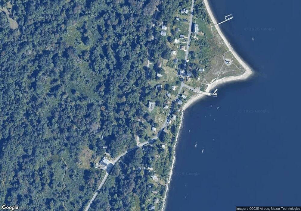
Map
Nearby Homes
- 33 Alden Ave
- 0 Governor Paine Rd
- 125 Homestead Ave
- 95 Devin Dr
- 26 Westwood Dr
- 272 Carnegie Harbor Dr
- 178 Carnegie Harbor Dr
- 121 King Charles Dr
- 125 Corys Ln Unit America
- 125 Corys Ln
- 1 Tower Dr Unit 1106
- 1 Tower Dr Unit 1203
- 1 Tower Dr Unit 302
- 1 Tower Dr Unit 101
- 1 Tower Dr Unit 1806
- 1 Tower Dr Unit 406
- 1 Tower Dr Unit 1201
- 59 Carnegie Harbor Dr
- 4 Lookout Ln Unit 1
- 4 Lookout Ln
- 326 Narragansett Blvd
- 0105 Governor Paine Rd
- 306 Narragansett Blvd
- 330 Narragansett Blvd
- 63 Governor Paine Rd
- 338 Narragansett Blvd
- 57 Governor Paine Rd
- 388 Narragansett Ave
- 073 Governor Paine Rd
- 300 Narragansett Blvd
- 111 Governor Paine Rd
- 309 Narragansett Blvd
- 325 Narragansett Ave
- 305 Narragansett Blvd
- 325 Narragansett Blvd
- 346 Narragansett Blvd
- 333 Narragansett Blvd
- 111 Governor Paine Rd
- 0341 Narragansett Ave
- 341 Narragansett Blvd