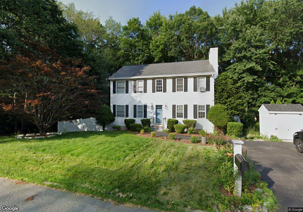
37 Hanover St Haverhill, MA 01832
Broad Hill NeighborhoodEstimated Value: $517,735 - $560,000
3
Beds
2
Baths
1,400
Sq Ft
$387/Sq Ft
Est. Value
About This Home
This home is located at 37 Hanover St, Haverhill, MA 01832 and is currently estimated at $541,184, approximately $386 per square foot. 37 Hanover St is a home located in Essex County with nearby schools including Tilton Elementary School, Consentino Middle School, and Haverhill High School.
Ownership History
Date
Name
Owned For
Owner Type
Purchase Details
Closed on
Nov 30, 1998
Sold by
Oneil Earle L and Oneil Margaret L
Bought by
Gallagher Thomas E and Gallagher Diana M
Current Estimated Value
Purchase Details
Closed on
Apr 29, 1993
Sold by
Pentucket 5C Sb
Bought by
Cranton Homes Inc
Create a Home Valuation Report for This Property
The Home Valuation Report is an in-depth analysis detailing your home's value as well as a comparison with similar homes in the area
Home Values in the Area
Average Home Value in this Area
Purchase History
| Date | Buyer | Sale Price | Title Company |
|---|---|---|---|
| Gallagher Thomas E | $137,000 | -- | |
| Cranton Homes Inc | $20,000 | -- |
Source: Public Records
Mortgage History
| Date | Status | Borrower | Loan Amount |
|---|---|---|---|
| Open | Cranton Homes Inc | $198,950 | |
| Closed | Cranton Homes Inc | $50,000 |
Source: Public Records
Tax History
| Year | Tax Paid | Tax Assessment Tax Assessment Total Assessment is a certain percentage of the fair market value that is determined by local assessors to be the total taxable value of land and additions on the property. | Land | Improvement |
|---|---|---|---|---|
| 2025 | $4,475 | $417,800 | $149,900 | $267,900 |
| 2024 | $4,209 | $395,600 | $136,800 | $258,800 |
| 2023 | $4,162 | $373,300 | $136,800 | $236,500 |
| 2022 | $3,994 | $314,000 | $124,900 | $189,100 |
| 2021 | $3,906 | $290,600 | $117,000 | $173,600 |
| 2020 | $3,819 | $280,800 | $111,800 | $169,000 |
| 2019 | $3,715 | $266,300 | $97,300 | $169,000 |
| 2018 | $3,568 | $250,200 | $92,000 | $158,200 |
| 2017 | $3,577 | $238,600 | $89,400 | $149,200 |
| 2016 | $3,491 | $227,300 | $81,500 | $145,800 |
| 2015 | $3,489 | $227,300 | $81,500 | $145,800 |
Source: Public Records
Map
Nearby Homes
- 233 Hilldale Ave Unit 233
- 212 Monument St
- 20 Woodcock Ave
- 21 Eudora St
- 9 Pilgrim Rd
- 2 N Broadway
- 291 Broadway Unit D
- 16 Smith St
- 7 Lansing Ave
- 90 Lowell Ave
- 38 11th Ave
- 48 16th Ave
- 153 Freeman Street Extension
- 19 Garden St Unit 19
- 52 8th Ave
- 108 Harrison St
- 79 Casablanca Ct
- 192 Franklin St
- 11 10th Ave
- 64 Harrison St
Your Personal Tour Guide
Ask me questions while you tour the home.