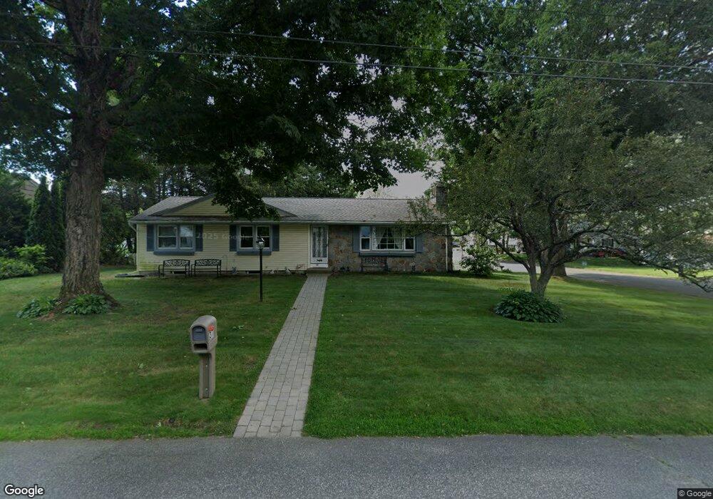
37 Harrow Rd Springfield, MA 01118
Sixteen Acres NeighborhoodEstimated Value: $375,680 - $434,000
3
Beds
2
Baths
1,557
Sq Ft
$255/Sq Ft
Est. Value
About This Home
This home is located at 37 Harrow Rd, Springfield, MA 01118 and is currently estimated at $396,420, approximately $254 per square foot. 37 Harrow Rd is a home located in Hampden County with nearby schools including Arthur T Talmadge Elementary School, M Marcus Kiley Middle, and Springfield High School of Science and Technology.
Ownership History
Date
Name
Owned For
Owner Type
Purchase Details
Closed on
Oct 21, 1994
Sold by
Reape John H and Reape Gwendolyn
Bought by
Lewis James E and Lewis Lucie K
Current Estimated Value
Purchase Details
Closed on
Aug 19, 1988
Sold by
Liebel John T
Bought by
Reape John R
Create a Home Valuation Report for This Property
The Home Valuation Report is an in-depth analysis detailing your home's value as well as a comparison with similar homes in the area
Home Values in the Area
Average Home Value in this Area
Purchase History
| Date | Buyer | Sale Price | Title Company |
|---|---|---|---|
| Lewis James E | $125,000 | -- | |
| Reape John R | $157,500 | -- |
Source: Public Records
Mortgage History
| Date | Status | Borrower | Loan Amount |
|---|---|---|---|
| Open | Reape John R | $131,000 | |
| Closed | Reape John R | $45,000 |
Source: Public Records
Tax History
| Year | Tax Paid | Tax Assessment Tax Assessment Total Assessment is a certain percentage of the fair market value that is determined by local assessors to be the total taxable value of land and additions on the property. | Land | Improvement |
|---|---|---|---|---|
| 2025 | $5,745 | $366,400 | $61,000 | $305,400 |
| 2024 | $5,714 | $355,800 | $61,000 | $294,800 |
| 2023 | $5,193 | $304,600 | $58,100 | $246,500 |
| 2022 | $4,637 | $246,400 | $61,300 | $185,100 |
| 2021 | $4,665 | $246,800 | $55,800 | $191,000 |
| 2020 | $4,435 | $227,100 | $55,800 | $171,300 |
| 2019 | $4,296 | $218,300 | $55,800 | $162,500 |
| 2018 | $4,156 | $211,200 | $55,800 | $155,400 |
| 2017 | $3,950 | $200,900 | $55,800 | $145,100 |
| 2016 | $3,820 | $194,300 | $55,800 | $138,500 |
| 2015 | $3,834 | $194,900 | $55,800 | $139,100 |
Source: Public Records
Map
Nearby Homes
- 86 Wildwood Ave
- 81 W Crystal Brook Dr
- 120 Bridle Path Rd
- 24 Wands St
- 85 Talmadge Dr
- 86 Talmadge Dr
- 41 Hillside Dr
- 25 Laurelwood Ln
- 55 Old Farm Rd
- 17 Pebble Mill Rd
- 55 Allen St
- 101 Regal St
- 647 Plumtree Rd
- 1962 Allen St
- 19 Manor Ct Unit 19
- 125 Manor Ct Unit 125
- 17 Skyridge Ln
- 37 Chesterfield Ave
- 206 Treetop Ave
- 744 Bradley Rd
Your Personal Tour Guide
Ask me questions while you tour the home.