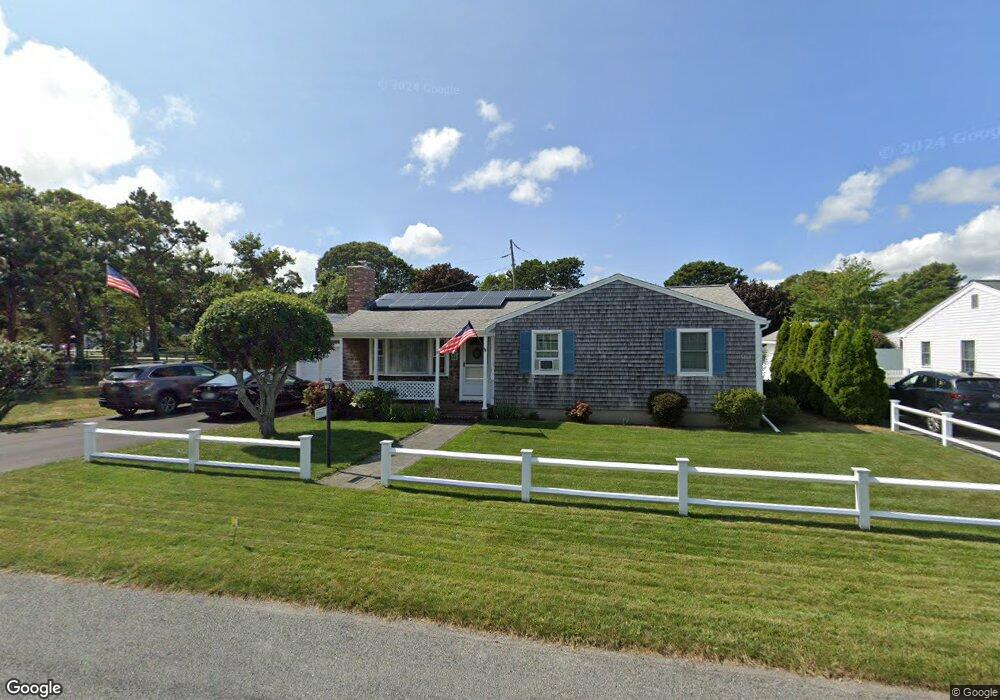
37 Harvard Rd Dennis Port, MA 02639
Dennis Port NeighborhoodEstimated Value: $579,000 - $774,000
3
Beds
1
Bath
1,001
Sq Ft
$645/Sq Ft
Est. Value
About This Home
This home is located at 37 Harvard Rd, Dennis Port, MA 02639 and is currently estimated at $645,354, approximately $644 per square foot. 37 Harvard Rd is a home located in Barnstable County with nearby schools including Dennis-Yarmouth Regional High School and St. Pius X. School.
Ownership History
Date
Name
Owned For
Owner Type
Purchase Details
Closed on
Oct 6, 2025
Sold by
Morse Jonathan D
Bought by
Morse Jeffrey A and Morse Carolyn M
Current Estimated Value
Purchase Details
Closed on
Feb 28, 2002
Sold by
Walter Holub Rt and Ciociolo
Bought by
Morse Jeffrey A and Morse Carolynn
Purchase Details
Closed on
May 26, 1992
Sold by
Moniz Marcia S
Bought by
Holub Walter and Holbub Irne
Create a Home Valuation Report for This Property
The Home Valuation Report is an in-depth analysis detailing your home's value as well as a comparison with similar homes in the area
Home Values in the Area
Average Home Value in this Area
Purchase History
| Date | Buyer | Sale Price | Title Company |
|---|---|---|---|
| Morse Jeffrey A | -- | -- | |
| Morse Jonathan D | -- | -- | |
| Morse Jeffrey A | $197,000 | -- | |
| Morse Jeffrey A | $197,000 | -- | |
| Holub Walter | $107,500 | -- | |
| Holub Walter | $107,500 | -- |
Source: Public Records
Tax History Compared to Growth
Tax History
| Year | Tax Paid | Tax Assessment Tax Assessment Total Assessment is a certain percentage of the fair market value that is determined by local assessors to be the total taxable value of land and additions on the property. | Land | Improvement |
|---|---|---|---|---|
| 2025 | $2,658 | $613,800 | $214,400 | $399,400 |
| 2024 | $2,510 | $571,700 | $206,200 | $365,500 |
| 2023 | $2,427 | $519,700 | $187,400 | $332,300 |
| 2022 | $2,320 | $414,300 | $168,800 | $245,500 |
| 2021 | $2,370 | $393,000 | $189,200 | $203,800 |
| 2020 | $3,732 | $350,400 | $165,500 | $184,900 |
| 2019 | $2,016 | $326,800 | $162,300 | $164,500 |
| 2018 | $3,337 | $302,100 | $154,500 | $147,600 |
| 2017 | $3,478 | $286,300 | $143,400 | $142,900 |
| 2016 | $1,777 | $272,100 | $154,500 | $117,600 |
| 2015 | $1,833 | $286,400 | $154,500 | $131,900 |
| 2014 | $1,678 | $264,300 | $132,400 | $131,900 |
Source: Public Records
Map
Nearby Homes
- 80 Michaels Ave
- 19 Standish Way
- 71 Main St
- 4 Coffey Ln
- 12 Spoonbill Rd
- 31 Easy St
- 22 Wixon Rd
- 125 Main St Unit 3
- 15 Woodside Park Rd
- 72 Bassett Ln
- 268 Main St
- 37 Ocean Dr Unit 2
- 61 Trotters Ln
- 64 Beaten Rd
- 95 Center St
- 26 Center St
- 112 Old Wharf Rd Unit E4
- 112 Old Wharf Rd Unit E1
- 154 Old Wharf Rd Unit 26
- 154 Old Wharf Rd Unit 14