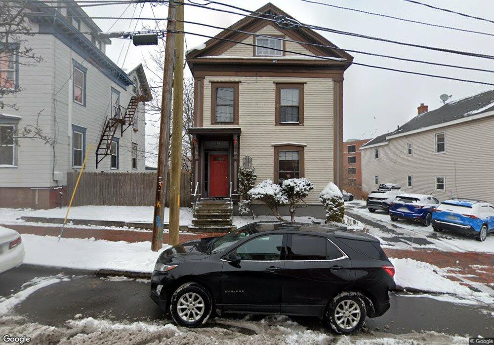
37 High St Unit 2 Portland, ME 04101
Downtown Portland NeighborhoodEstimated Value: $278,761 - $597,000
1
Bed
1
Bath
294
Sq Ft
$1,271/Sq Ft
Est. Value
About This Home
This home is located at 37 High St Unit 2, Portland, ME 04101 and is currently estimated at $373,690, approximately $1,271 per square foot. 37 High St Unit 2 is a home located in Cumberland County with nearby schools including Howard C. Reiche Community School, King Middle School, and Baxter Academy for Tech & Sciences.
Ownership History
Date
Name
Owned For
Owner Type
Purchase Details
Closed on
May 19, 2015
Sold by
Blanchette Nancy M
Bought by
Solstice Investments Llc
Current Estimated Value
Purchase Details
Closed on
Apr 28, 2006
Sold by
Baillargeon Charles C and Baillargeon Sue A
Bought by
Blanchette Nancy M
Home Financials for this Owner
Home Financials are based on the most recent Mortgage that was taken out on this home.
Original Mortgage
$114,000
Outstanding Balance
$66,024
Interest Rate
6.4%
Mortgage Type
Purchase Money Mortgage
Estimated Equity
$307,666
Create a Home Valuation Report for This Property
The Home Valuation Report is an in-depth analysis detailing your home's value as well as a comparison with similar homes in the area
Home Values in the Area
Average Home Value in this Area
Purchase History
| Date | Buyer | Sale Price | Title Company |
|---|---|---|---|
| Solstice Investments Llc | -- | -- | |
| Blanchette Nancy M | -- | -- |
Source: Public Records
Mortgage History
| Date | Status | Borrower | Loan Amount |
|---|---|---|---|
| Open | Blanchette Nancy M | $114,000 |
Source: Public Records
Tax History Compared to Growth
Tax History
| Year | Tax Paid | Tax Assessment Tax Assessment Total Assessment is a certain percentage of the fair market value that is determined by local assessors to be the total taxable value of land and additions on the property. | Land | Improvement |
|---|---|---|---|---|
| 2024 | $2,420 | $161,200 | $32,240 | $128,960 |
| 2023 | $2,323 | $161,200 | $32,240 | $128,960 |
| 2022 | $2,194 | $161,200 | $32,240 | $128,960 |
| 2021 | $2,094 | $161,200 | $32,240 | $128,960 |
| 2020 | $2,527 | $108,400 | $21,700 | $86,700 |
| 2019 | $2,527 | $108,400 | $21,700 | $86,700 |
| 2018 | $2,437 | $108,400 | $21,700 | $86,700 |
| 2017 | $2,347 | $108,400 | $21,700 | $86,700 |
| 2016 | $2,288 | $108,400 | $21,700 | $86,700 |
| 2015 | $2,236 | $108,400 | $21,700 | $86,700 |
| 2014 | $2,168 | $108,400 | $21,700 | $86,700 |
Source: Public Records
Map
Nearby Homes
- 25 High St Unit 214
- 25 High St Unit 408
- 387 Commercial St Unit 710
- 387 Commercial St Unit 205
- 383 Commercial St
- 383 Commercial St Unit 405
- 383 Commercial St Unit 709
- 383 Commercial St Unit 315
- 68 Pleasant St
- 40 Pleasant St
- 88 Park St Unit 41
- 32 State St Unit 5
- 32 State St Unit 1
- 64 Gray St
- 83 Brackett St
- 547 Congress St Unit 6
- 15 Brown St Unit 405
- 15 Brown St Unit 206
- 148 State St
- 28 Summer St
- 37 High St Unit 4
- 37 High St Unit 3
- 37 High St Unit 1
- 37 High St
- 41 High St
- 31 High St
- 25 High St
- 25 High St Unit 203
- 25 High St Unit 307
- 25 High St Unit 309
- 25 High St Unit 403
- 25 High St Unit 204
- 25 High St Unit 506
- 25 High St Unit 401
- 25 High St Unit 303
- 25 High St Unit 411
- 25 High St Unit 511
- 25 High St Unit 311
- 25 High St Unit 209
- 25 High St Unit 510