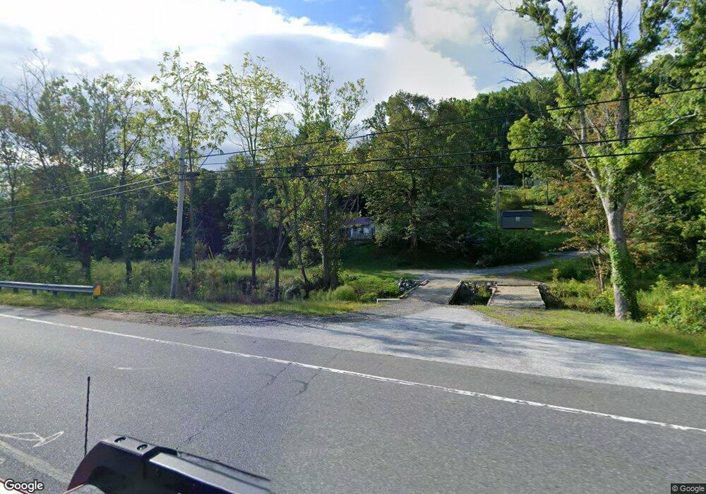
37 Kates Ln Burnsville, NC 28714
Estimated Value: $153,000 - $196,366
2
Beds
1
Bath
864
Sq Ft
$206/Sq Ft
Est. Value
About This Home
This home is located at 37 Kates Ln, Burnsville, NC 28714 and is currently estimated at $177,842, approximately $205 per square foot. 37 Kates Ln is a home with nearby schools including Mountain Heritage High School, Genesis Academy, and Arthur Morgan School.
Ownership History
Date
Name
Owned For
Owner Type
Purchase Details
Closed on
Oct 31, 2024
Sold by
Briggs Donna Michelle and Fox Donna Michelle
Bought by
Woody Sharon
Current Estimated Value
Purchase Details
Closed on
Nov 21, 2003
Bought by
Ogle Minnie L and Ogle E
Create a Home Valuation Report for This Property
The Home Valuation Report is an in-depth analysis detailing your home's value as well as a comparison with similar homes in the area
Home Values in the Area
Average Home Value in this Area
Purchase History
| Date | Buyer | Sale Price | Title Company |
|---|---|---|---|
| Woody Sharon | -- | None Listed On Document | |
| Woody Sharon | -- | None Listed On Document | |
| Ogle Minnie L | -- | -- |
Source: Public Records
Tax History Compared to Growth
Tax History
| Year | Tax Paid | Tax Assessment Tax Assessment Total Assessment is a certain percentage of the fair market value that is determined by local assessors to be the total taxable value of land and additions on the property. | Land | Improvement |
|---|---|---|---|---|
| 2025 | $381 | $129,100 | $75,900 | $53,200 |
| 2024 | $381 | $129,100 | $75,900 | $53,200 |
| 2023 | $246 | $73,460 | $38,000 | $35,460 |
| 2022 | $241 | $73,460 | $38,000 | $35,460 |
| 2021 | $246 | $73,460 | $38,000 | $35,460 |
| 2020 | $246 | $73,460 | $38,000 | $35,460 |
| 2019 | $246 | $73,460 | $38,000 | $35,460 |
| 2018 | $246 | $73,460 | $38,000 | $35,460 |
| 2017 | $242 | $73,460 | $38,000 | $35,460 |
| 2016 | $242 | $73,460 | $38,000 | $35,460 |
| 2015 | $171 | $61,130 | $26,600 | $34,530 |
| 2014 | $171 | $61,130 | $26,600 | $34,530 |
Source: Public Records
Map
Nearby Homes
- 126 Juniper Dr
- 40 Double Island Rd
- 307 Laf A Lot Ln
- 210 Miners Ridge Dr
- 1050 Wyatt Town Rd
- 8 Cc Farm Rd
- 99 Cobblestone Dr
- 001 Shoal Pond Cove
- 1227 Georges Fork Rd
- 944 Georges Fork Rd
- 145 Appalachian Dr
- 12 Hickory Springs Rd Unit 12
- 35 Mountaineer Ln Unit 8
- 220 Grand View Ln
- 536 Hickory Springs Rd
- 211 Cherry Hollow
- 00 High Peak Ridge Unit 7
- 13 Miners Trace Rd
- 97 Gordon Ln
- 355 Rosewood Ln
- 53 Kates Ln
- 25 Kates Ln
- 50 Boone Branch Rd
- 129 Crabtree Dr
- 55 Freeman Dr
- 209 Cane Branch Rd
- 0 Cane Branch Rd Unit 3206454
- 105 Boone Branch Rd
- 110 Juniper Dr
- 19 Gillespie Rd
- 180 Boone Branch Rd
- 135 Juniper Dr
- 5 Carriage Dr
- 120 Cane Branch Rd
- 59 Gillespie Rd
- 3595 E Us Highway 19e
- 260 Cane Branch Rd
- 0 Ransom Silvers Rd Unit 67 NCM424320
- 0 Ransom Silvers Rd Unit 10
- 000 Ransom Silvers Rd
