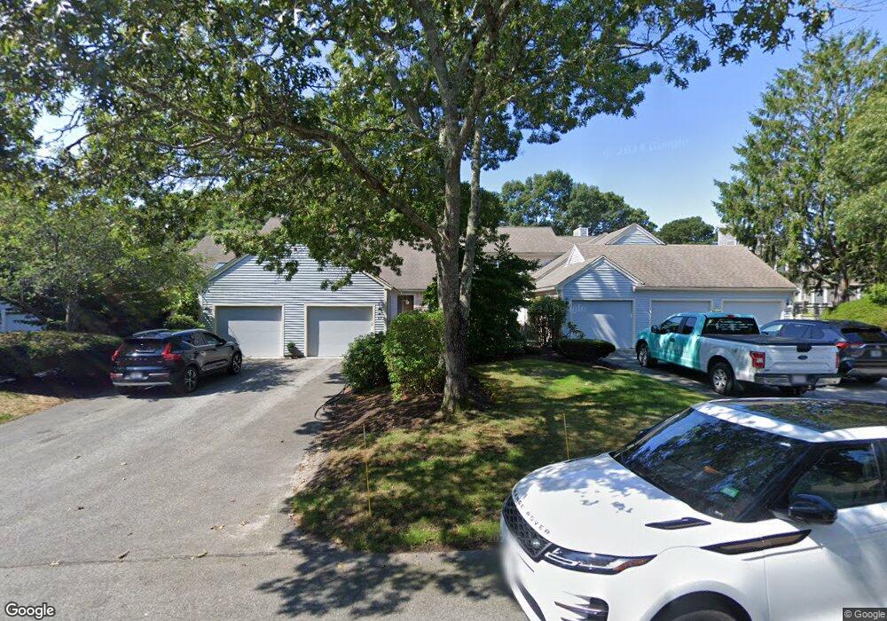
37 Kates Path Yarmouth Port, MA 02675
Yarmouth Port NeighborhoodEstimated Value: $502,069 - $587,000
2
Beds
2
Baths
1,154
Sq Ft
$477/Sq Ft
Est. Value
About This Home
This home is located at 37 Kates Path, Yarmouth Port, MA 02675 and is currently estimated at $551,017, approximately $477 per square foot. 37 Kates Path is a home located in Barnstable County with nearby schools including Dennis-Yarmouth Regional High School.
Ownership History
Date
Name
Owned For
Owner Type
Purchase Details
Closed on
Apr 5, 2022
Sold by
Wisner James A and Mcgrath Deirdre L
Bought by
J Wisner & D Mcgrath Ret
Current Estimated Value
Purchase Details
Closed on
May 3, 2013
Sold by
Bono Ft
Bought by
Wisner James A
Home Financials for this Owner
Home Financials are based on the most recent Mortgage that was taken out on this home.
Original Mortgage
$228,750
Interest Rate
3.57%
Mortgage Type
New Conventional
Purchase Details
Closed on
Aug 30, 2012
Sold by
Daly Barbara A
Bought by
William A Reynolds Rt
Purchase Details
Closed on
Oct 6, 2008
Sold by
Bono Elaine M and Bono Peter R
Bought by
Bono Ft
Purchase Details
Closed on
Apr 8, 2005
Sold by
Dunn Cynthia M and Dunn Raymond W
Bought by
Bono Elaine M
Purchase Details
Closed on
May 12, 2000
Sold by
Black Richard T Est
Bought by
Dunn Raymond W
Create a Home Valuation Report for This Property
The Home Valuation Report is an in-depth analysis detailing your home's value as well as a comparison with similar homes in the area
Home Values in the Area
Average Home Value in this Area
Purchase History
| Date | Buyer | Sale Price | Title Company |
|---|---|---|---|
| J Wisner & D Mcgrath Ret | -- | None Available | |
| Wisner James A | $305,000 | -- | |
| William A Reynolds Rt | $357,000 | -- | |
| Bono Ft | -- | -- | |
| Bono Elaine M | $405,000 | -- | |
| Dunn Raymond W | $228,000 | -- |
Source: Public Records
Mortgage History
| Date | Status | Borrower | Loan Amount |
|---|---|---|---|
| Previous Owner | Wisner James A | $228,750 |
Source: Public Records
Tax History Compared to Growth
Tax History
| Year | Tax Paid | Tax Assessment Tax Assessment Total Assessment is a certain percentage of the fair market value that is determined by local assessors to be the total taxable value of land and additions on the property. | Land | Improvement |
|---|---|---|---|---|
| 2025 | $3,054 | $431,300 | $0 | $431,300 |
| 2024 | $2,835 | $384,200 | $0 | $384,200 |
| 2023 | $2,757 | $340,000 | $0 | $340,000 |
| 2022 | $3,150 | $343,100 | $0 | $343,100 |
| 2021 | $3,062 | $320,300 | $0 | $320,300 |
| 2020 | $3,090 | $309,000 | $0 | $309,000 |
| 2019 | $2,896 | $286,700 | $0 | $286,700 |
| 2018 | $2,721 | $264,400 | $0 | $264,400 |
| 2017 | $2,537 | $253,200 | $0 | $253,200 |
| 2016 | $2,415 | $242,000 | $0 | $242,000 |
| 2015 | $2,483 | $247,300 | $0 | $247,300 |
Source: Public Records
Map
Nearby Homes
- 228 Kates Path
- 17 Kates Path Unit A
- 64 Kates Path
- 158 Kates Path
- 19 John Halls Cartpath Village Unit E
- 19 John Hall Cartway Unit E
- 50 John Hall Cartway
- 50 John Hall Cartway Unit 50
- 42 John Hall Cartway Unit 42
- 43 Canterbury Rd
- 28 Oak Glen
- 17 Nottingham Dr
- 44 Stratford Ln
- 25 Oak Glen Village Unit 25
- 25 Oak Glen
- 30 W Woods
- 30 W Woods Cir Unit 30
- 2 Pine Grove
- 800 Route 6a
- 800 Route 6a
- 41 Kates Path
- 35 Kates Path
- 37 Kates Path Unit 37
- 35 Kate's Path Unit 35
- 35 Kates Path Unit B
- 41 Kates Path Unit 41
- 33 Kates Path Unit 33
- 37 Kates Path Unit A
- 33 Kates Path Unit D
- 136 Kates Path Unit C
- 246 Kates Path
- 244 Kates Path
- 234 Kates Path
- 232 Kates Path
- 230 Kates Path
- 224 Kates Path
- 222 Kates Path
- 220 Kates Path
- 218 Kates Path