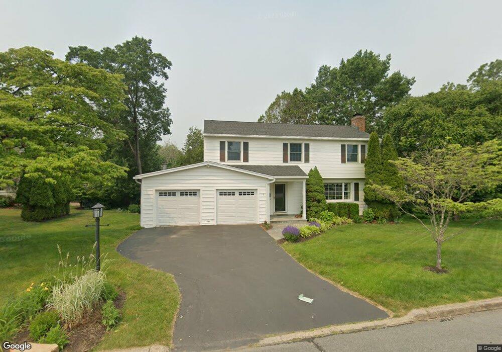
37 Lantern Rd Fairfield, CT 06824
University NeighborhoodEstimated Value: $966,000 - $1,329,000
4
Beds
3
Baths
2,096
Sq Ft
$546/Sq Ft
Est. Value
About This Home
This home is located at 37 Lantern Rd, Fairfield, CT 06824 and is currently estimated at $1,143,392, approximately $545 per square foot. 37 Lantern Rd is a home located in Fairfield County with nearby schools including Riverfield Elementary School, Roger Ludlowe Middle School, and Fairfield Ludlowe High School.
Ownership History
Date
Name
Owned For
Owner Type
Purchase Details
Closed on
Oct 16, 1995
Sold by
Carol W Turton Trust
Bought by
Vibbert John E and Vibbert Michele M
Current Estimated Value
Home Financials for this Owner
Home Financials are based on the most recent Mortgage that was taken out on this home.
Original Mortgage
$200,000
Interest Rate
7.71%
Mortgage Type
Unknown
Create a Home Valuation Report for This Property
The Home Valuation Report is an in-depth analysis detailing your home's value as well as a comparison with similar homes in the area
Home Values in the Area
Average Home Value in this Area
Purchase History
| Date | Buyer | Sale Price | Title Company |
|---|---|---|---|
| Vibbert John E | $280,000 | -- | |
| Vibbert John E | $280,000 | -- |
Source: Public Records
Mortgage History
| Date | Status | Borrower | Loan Amount |
|---|---|---|---|
| Open | Vibbert John E | $74,640 | |
| Closed | Vibbert John E | $174,000 | |
| Closed | Vibbert John E | $200,000 |
Source: Public Records
Tax History
| Year | Tax Paid | Tax Assessment Tax Assessment Total Assessment is a certain percentage of the fair market value that is determined by local assessors to be the total taxable value of land and additions on the property. | Land | Improvement |
|---|---|---|---|---|
| 2025 | $12,423 | $437,570 | $262,920 | $174,650 |
| 2024 | $12,208 | $437,570 | $262,920 | $174,650 |
| 2023 | $12,038 | $437,570 | $262,920 | $174,650 |
| 2022 | $11,919 | $437,570 | $262,920 | $174,650 |
| 2021 | $11,806 | $437,570 | $262,920 | $174,650 |
| 2020 | $12,459 | $465,080 | $260,190 | $204,890 |
| 2019 | $12,459 | $465,080 | $260,190 | $204,890 |
| 2018 | $12,260 | $465,080 | $260,190 | $204,890 |
| 2017 | $12,008 | $465,080 | $260,190 | $204,890 |
| 2016 | $11,836 | $465,080 | $260,190 | $204,890 |
| 2015 | $11,696 | $471,800 | $273,770 | $198,030 |
| 2014 | $11,512 | $471,800 | $273,770 | $198,030 |
Source: Public Records
Map
Nearby Homes
- 647 Bronson Rd
- 329 Bronson Rd
- 53 Hilltop Dr
- 245 Unquowa Rd Unit 2
- 245 Unquowa Rd Unit 82
- 245 Unquowa Rd Unit 6
- 28 Mill Hill Rd Unit 28
- 88 Overhill Rd
- 65 Thorpe St Unit 65
- 25 Helen St
- 105 Charter Oak Rd
- 20 Ermine St
- 209 S Pine Creek Rd
- 153 Pease Ave
- 360 Duck Farm Rd
- 75 Spinning Wheel Rd
- 127 Paul Place
- 464 Ruane St
- 2 Elmwood Dr Unit 2
- 327 Meadowbrook Rd
- 55 Lantern Rd
- 561 Old Mill Rd
- 411 Old Mill Rd
- 61 Lantern Rd
- 577 Old Mill Rd
- 365 Old Mill Rd
- 63 Lantern Rd
- 579 Old Mill Rd
- 599 Old Mill Rd
- 543 Old Mill Rd
- 435 Old Mill Rd
- 335 Old Mill Rd
- 374 Old Mill Rd
- 392 Old Mill Rd
- 354 Old Mill Rd
- 1200 Samuel Ln
- 323 Old Mill Rd
- 525 Old Mill Rd
- 428 Old Mill Rd
- 311 Old Mill Rd