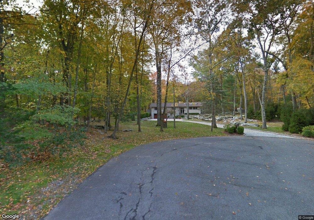
37 Laurel Rd Pound Ridge, NY 10576
Estimated Value: $1,036,430 - $1,219,000
4
Beds
2
Baths
2,495
Sq Ft
$458/Sq Ft
Est. Value
About This Home
This home is located at 37 Laurel Rd, Pound Ridge, NY 10576 and is currently estimated at $1,143,858, approximately $458 per square foot. 37 Laurel Rd is a home located in Westchester County with nearby schools including Pound Ridge Elementary School, Fox Lane Middle School, and Fox Lane High School.
Ownership History
Date
Name
Owned For
Owner Type
Purchase Details
Closed on
Jan 4, 2023
Sold by
Weinman Roberta
Bought by
Weinman Victor
Current Estimated Value
Purchase Details
Closed on
Nov 12, 2009
Sold by
Schor Susan M
Bought by
Weinman Roberta
Purchase Details
Closed on
Mar 25, 1999
Sold by
Himmel Robert M
Bought by
Schor Susan M
Home Financials for this Owner
Home Financials are based on the most recent Mortgage that was taken out on this home.
Original Mortgage
$240,000
Interest Rate
7.19%
Mortgage Type
Purchase Money Mortgage
Purchase Details
Closed on
Dec 11, 1998
Sold by
Himmel Robert M and Himmel Kathryn G
Bought by
Himmel Robert M
Create a Home Valuation Report for This Property
The Home Valuation Report is an in-depth analysis detailing your home's value as well as a comparison with similar homes in the area
Home Values in the Area
Average Home Value in this Area
Purchase History
| Date | Buyer | Sale Price | Title Company |
|---|---|---|---|
| Weinman Victor | -- | Judicial Title | |
| Weinman Roberta | $700,000 | The Judicial Title Insurance | |
| Schor Susan M | $382,500 | The Judicial Title Ins Agenc | |
| Himmel Robert M | -- | The Judicial Title Ins Agenc |
Source: Public Records
Mortgage History
| Date | Status | Borrower | Loan Amount |
|---|---|---|---|
| Previous Owner | Schor Susan M | $240,000 |
Source: Public Records
Tax History Compared to Growth
Tax History
| Year | Tax Paid | Tax Assessment Tax Assessment Total Assessment is a certain percentage of the fair market value that is determined by local assessors to be the total taxable value of land and additions on the property. | Land | Improvement |
|---|---|---|---|---|
| 2024 | $15,626 | $115,000 | $30,000 | $85,000 |
| 2023 | $14,983 | $115,000 | $30,000 | $85,000 |
| 2022 | $14,127 | $115,000 | $30,000 | $85,000 |
| 2021 | $13,948 | $115,000 | $30,000 | $85,000 |
| 2020 | $14,086 | $115,000 | $30,000 | $85,000 |
| 2019 | $14,199 | $115,000 | $30,000 | $85,000 |
| 2018 | $147 | $115,000 | $30,000 | $85,000 |
| 2017 | $0 | $115,000 | $30,000 | $85,000 |
| 2016 | $12,087 | $115,000 | $30,000 | $85,000 |
| 2015 | -- | $115,000 | $30,000 | $85,000 |
| 2014 | -- | $115,000 | $30,000 | $85,000 |
| 2013 | -- | $115,000 | $30,000 | $85,000 |
Source: Public Records
Map
Nearby Homes
- 33 Peters Ln
- 98 Eastwoods Rd
- 49 Indian Hill Rd
- 229 Trinity Pass Rd
- 20 Salem Rd
- 27 West Ln
- 0 Rolling Meadow Ln Unit ONEH6302491
- 239 Deer Hill
- 132 Stone Meadow
- 100 Salem Rd
- 171 Proprietors Crossing
- 156 Stone Meadow Unit 16156
- 11 Lost Nations Rd
- 26 Pequot Ln
- 119 Proprietors Crossing
- 176 Logan Rd
- 18 Fox Run
- 1247 Oenoke Ridge
- 25 Col Sheldon Ln
- 928 West Rd