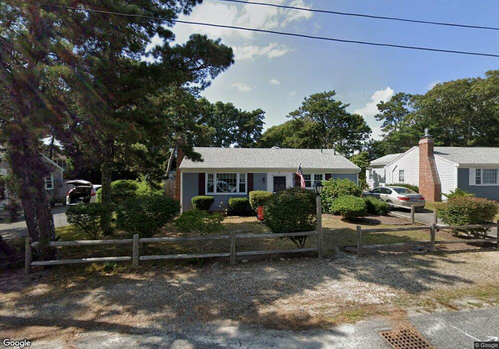
37 Lawrence Rd Dennis Port, MA 02639
Dennis Port NeighborhoodEstimated Value: $582,000 - $731,488
3
Beds
2
Baths
1,404
Sq Ft
$474/Sq Ft
Est. Value
About This Home
This home is located at 37 Lawrence Rd, Dennis Port, MA 02639 and is currently estimated at $666,122, approximately $474 per square foot. 37 Lawrence Rd is a home located in Barnstable County with nearby schools including Dennis-Yarmouth Regional High School and St. Pius X. School.
Ownership History
Date
Name
Owned For
Owner Type
Purchase Details
Closed on
Jun 3, 2011
Sold by
Murdock James R and Tringali Melanie M
Bought by
Nicholas George J and Nicholas Mary E
Current Estimated Value
Home Financials for this Owner
Home Financials are based on the most recent Mortgage that was taken out on this home.
Original Mortgage
$250,000
Outstanding Balance
$174,114
Interest Rate
4.85%
Mortgage Type
Purchase Money Mortgage
Estimated Equity
$492,008
Purchase Details
Closed on
Aug 2, 2001
Sold by
Lacy Joanne U
Bought by
Murdock James R and Tringali Melanie M
Home Financials for this Owner
Home Financials are based on the most recent Mortgage that was taken out on this home.
Original Mortgage
$189,900
Interest Rate
7.14%
Mortgage Type
Purchase Money Mortgage
Create a Home Valuation Report for This Property
The Home Valuation Report is an in-depth analysis detailing your home's value as well as a comparison with similar homes in the area
Home Values in the Area
Average Home Value in this Area
Purchase History
| Date | Buyer | Sale Price | Title Company |
|---|---|---|---|
| Nicholas George J | $313,500 | -- | |
| Murdock James R | $199,900 | -- |
Source: Public Records
Mortgage History
| Date | Status | Borrower | Loan Amount |
|---|---|---|---|
| Open | Nicholas George J | $250,000 | |
| Previous Owner | Murdock James R | $189,900 |
Source: Public Records
Tax History Compared to Growth
Tax History
| Year | Tax Paid | Tax Assessment Tax Assessment Total Assessment is a certain percentage of the fair market value that is determined by local assessors to be the total taxable value of land and additions on the property. | Land | Improvement |
|---|---|---|---|---|
| 2025 | $2,823 | $651,900 | $198,700 | $453,200 |
| 2024 | $2,728 | $621,400 | $191,100 | $430,300 |
| 2023 | $2,638 | $564,800 | $173,700 | $391,100 |
| 2022 | $2,508 | $447,800 | $156,500 | $291,300 |
| 2021 | $2,531 | $419,800 | $175,400 | $244,400 |
| 2020 | $2,392 | $392,200 | $153,400 | $238,800 |
| 2019 | $2,241 | $363,200 | $150,400 | $212,800 |
| 2018 | $2,120 | $334,400 | $143,200 | $191,200 |
| 2017 | $1,957 | $318,200 | $133,000 | $185,200 |
| 2016 | $1,943 | $297,500 | $143,200 | $154,300 |
| 2015 | $1,904 | $297,500 | $143,200 | $154,300 |
| 2014 | $1,723 | $271,400 | $122,800 | $148,600 |
Source: Public Records
Map
Nearby Homes
- 80 Michaels Ave
- 37 Ocean Dr Unit 2
- 64 Beaten Rd
- 31 Easy St
- 112 Old Wharf Rd Unit E4
- 112 Old Wharf Rd Unit E1
- 19 Standish Way
- 120 Old Wharf Rd Unit 11
- 154 Old Wharf Rd Unit 26
- 154 Old Wharf Rd Unit 14
- 22 Wixon Rd
- 61 Trotters Ln
- 12 Spoonbill Rd
- 4 Coffey Ln
- 217 Old Wharf Rd Unit 64
- 71 Main St
- 15 Woodside Park Rd
- 262 Old Wharf Rd Unit 67
- 262 Old Wharf Rd Unit 5
- 262 Old Wharf Rd Unit 5
- 39 Lawrence Rd
- 13 Nipigon Way E
- 43 Lawrence Rd
- 29 Lawrence Rd
- 34 Lawrence Rd
- 36 Lawrence Rd
- 12 Greeneedle Ln
- 19 Nipigon Way E
- 45 Lawrence Rd
- 9 Nipigon Way E
- 30 Lawrence Rd
- 40 Lawrence Rd
- 21 Nipigon Way E
- 25 Lawrence Rd
- 14 Greeneedle Ln
- 28 Lawrence Rd
- 42 Lawrence Rd
- 49 Lawrence Rd
- 8 Greeneedle Ln
- 12 Nipigon Way E