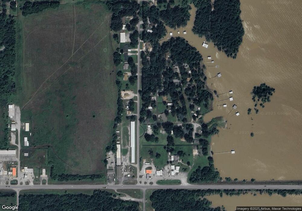
37 Layman Dr Eufaula, OK 74432
Estimated Value: $202,000 - $368,000
3
Beds
2
Baths
1,644
Sq Ft
$161/Sq Ft
Est. Value
About This Home
This home is located at 37 Layman Dr, Eufaula, OK 74432 and is currently estimated at $264,521, approximately $160 per square foot. 37 Layman Dr is a home with nearby schools including Canadian Elementary School and Canadian High School.
Ownership History
Date
Name
Owned For
Owner Type
Purchase Details
Closed on
Dec 16, 2015
Sold by
Posey Phillip L and Posey Peggy
Bought by
Christiana Trust and Wilmington Savings Fund Society
Current Estimated Value
Purchase Details
Closed on
Apr 29, 2014
Sold by
Posey Phillip L and Posey Peggy
Bought by
Posey Peggy
Purchase Details
Closed on
Jan 28, 2005
Sold by
Johnson Donald Lee and Johnson Donald L
Bought by
Posey Phillip L and Posey Peggy
Home Financials for this Owner
Home Financials are based on the most recent Mortgage that was taken out on this home.
Original Mortgage
$90,960
Interest Rate
7.8%
Mortgage Type
Adjustable Rate Mortgage/ARM
Create a Home Valuation Report for This Property
The Home Valuation Report is an in-depth analysis detailing your home's value as well as a comparison with similar homes in the area
Home Values in the Area
Average Home Value in this Area
Purchase History
| Date | Buyer | Sale Price | Title Company |
|---|---|---|---|
| Christiana Trust | -- | First American Title | |
| Posey Peggy | -- | -- | |
| Posey Phillip L | $96,000 | Capitol Abstract & Title Co |
Source: Public Records
Mortgage History
| Date | Status | Borrower | Loan Amount |
|---|---|---|---|
| Previous Owner | Posey Phillip L | $90,960 |
Source: Public Records
Tax History
| Year | Tax Paid | Tax Assessment Tax Assessment Total Assessment is a certain percentage of the fair market value that is determined by local assessors to be the total taxable value of land and additions on the property. | Land | Improvement |
|---|---|---|---|---|
| 2025 | $793 | $10,265 | $574 | $9,691 |
| 2024 | $793 | $9,776 | $574 | $9,202 |
| 2023 | $760 | $9,310 | $574 | $8,736 |
| 2022 | $695 | $8,867 | $574 | $8,293 |
| 2021 | $699 | $8,867 | $574 | $8,293 |
| 2020 | $597 | $8,043 | $574 | $7,469 |
| 2019 | $568 | $8,043 | $574 | $7,469 |
| 2018 | $553 | $7,296 | $574 | $6,722 |
| 2017 | $554 | $7,296 | $574 | $6,722 |
| 2016 | $705 | $9,266 | $574 | $8,692 |
| 2015 | $631 | $9,266 | $574 | $8,692 |
| 2014 | $633 | $9,266 | $574 | $8,692 |
Source: Public Records
Map
Nearby Homes
- 202 Warren Rd
- 2 4213 Rd
- 60 Edgewood Rd
- 0 Hummingbird Ln Unit 2603457
- 181 Hummingbird Ln
- 112 Meadowlark Rd
- 1437 Nitzel Rd
- 133 Dogwood Trail
- 156 Bower Rd
- 87 Hickory Ln
- 141 Hickory Ln
- 15 N Elm St
- 8 Bower Rd
- 754 Pebble Ridge Rd
- 1372 Warren Rd
- 9 Bower Rd
- 7 Bower Rd
- 44 Hickory Stick Ln
- 310 Bower Rd
- 309 Bower Rd
- 49 Layman Dr
- 14 Layman Dr
- 72 Layman Dr
- 50 Layman Dr
- 0 Breckenridge St Unit 1552210
- 0 Breckenridge St Unit 1550719
- 88 Layman Dr
- 88 Layman Dr
- 0 Breckenridge Dr Unit 2325928
- 0 Breckenridge Dr Unit 1942906
- 142 Breakenridge Dr
- 227 Breakenridge Dr
- 179 Breakenridge Dr
- 194 Breakenridge Dr
- 226 Breakenridge Dr
- 229 Breckenridge Dr
- 152 Breakenridge Dr
- 451 Warren Rd
- 543 Warren Rd
- 546 Warren Rd
