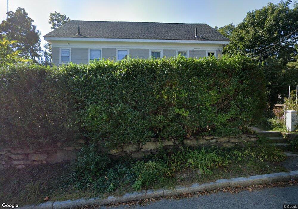
37 Linden St Unit 39 Newton Upper Falls, MA 02464
Newton Upper Falls NeighborhoodEstimated Value: $1,355,000 - $1,734,000
6
Beds
3
Baths
2,856
Sq Ft
$523/Sq Ft
Est. Value
About This Home
This home is located at 37 Linden St Unit 39, Newton Upper Falls, MA 02464 and is currently estimated at $1,494,498, approximately $523 per square foot. 37 Linden St Unit 39 is a home located in Middlesex County with nearby schools including Countryside Elementary School, Charles E Brown Middle School, and Newton South High School.
Ownership History
Date
Name
Owned For
Owner Type
Purchase Details
Closed on
Dec 31, 2010
Sold by
Danielson Janice B
Bought by
39 Linden Street Rt and Danielson Janice B
Current Estimated Value
Purchase Details
Closed on
Mar 2, 2010
Sold by
Linden St 39 Rt and Danielson Janice B
Bought by
Danielson Janice B
Home Financials for this Owner
Home Financials are based on the most recent Mortgage that was taken out on this home.
Original Mortgage
$200,000
Interest Rate
5.11%
Mortgage Type
Purchase Money Mortgage
Create a Home Valuation Report for This Property
The Home Valuation Report is an in-depth analysis detailing your home's value as well as a comparison with similar homes in the area
Home Values in the Area
Average Home Value in this Area
Purchase History
| Date | Buyer | Sale Price | Title Company |
|---|---|---|---|
| 39 Linden Street Rt | -- | -- | |
| Danielson Janice B | -- | -- |
Source: Public Records
Mortgage History
| Date | Status | Borrower | Loan Amount |
|---|---|---|---|
| Previous Owner | Danielson Janice B | $200,000 |
Source: Public Records
Tax History Compared to Growth
Tax History
| Year | Tax Paid | Tax Assessment Tax Assessment Total Assessment is a certain percentage of the fair market value that is determined by local assessors to be the total taxable value of land and additions on the property. | Land | Improvement |
|---|---|---|---|---|
| 2025 | $10,459 | $1,067,200 | $840,400 | $226,800 |
| 2024 | $10,112 | $1,036,100 | $815,900 | $220,200 |
| 2023 | $9,675 | $950,400 | $665,700 | $284,700 |
| 2022 | $9,258 | $880,000 | $616,400 | $263,600 |
| 2021 | $8,687 | $807,300 | $565,500 | $241,800 |
| 2020 | $8,428 | $807,300 | $565,500 | $241,800 |
| 2019 | $7,885 | $754,500 | $528,500 | $226,000 |
| 2018 | $7,828 | $723,500 | $492,800 | $230,700 |
| 2017 | $7,381 | $663,800 | $452,100 | $211,700 |
| 2016 | $6,930 | $609,000 | $414,800 | $194,200 |
| 2015 | $6,608 | $569,200 | $387,700 | $181,500 |
Source: Public Records
Map
Nearby Homes
- 12 Shawmut Park
- 66 Linden St
- 20 Pennsylvania Ave
- 20 Pennsylvania Ave Unit 20
- 18-20 Pennsylvania Ave Unit 18
- 300 Elliot St Unit 300
- 27 Indiana Terrace Unit 29
- 302 Elliot St Carriage House N Unit 3
- 304 Elliot St Carriage House S Unit 4
- 51 Pettee St Unit 11
- 54 Indiana Terrace
- 102 Thurston Rd Unit 100
- 103 Thurston Rd
- 66 Rockland Place
- 1 Williams Ct
- 183 Oak St Unit 307
- 183 Oak St Unit 205
- 45 River Ave Unit 45
- 992 Chestnut St
- 989 Chestnut St Unit 8