37 Lothrop Ln Cohasset, MA 02025
Estimated Value: $3,197,266 - $4,100,000
9
Beds
6
Baths
5,643
Sq Ft
$656/Sq Ft
Est. Value
About This Home
This home is located at 37 Lothrop Ln, Cohasset, MA 02025 and is currently estimated at $3,702,422, approximately $656 per square foot. 37 Lothrop Ln is a home located in Norfolk County with nearby schools including Joseph Osgood School, Deer Hill School, and Cohasset Middle School.
Ownership History
Date
Name
Owned For
Owner Type
Purchase Details
Closed on
Jun 22, 2017
Sold by
Andrus Stephen B Est
Bought by
Willard T
Current Estimated Value
Purchase Details
Closed on
Sep 15, 2015
Sold by
Andrus Stephen B
Bought by
Andrus Joan B
Create a Home Valuation Report for This Property
The Home Valuation Report is an in-depth analysis detailing your home's value as well as a comparison with similar homes in the area
Home Values in the Area
Average Home Value in this Area
Purchase History
| Date | Buyer | Sale Price | Title Company |
|---|---|---|---|
| Willard T | $2,995,000 | -- | |
| Andrus Joan B | -- | -- |
Source: Public Records
Tax History Compared to Growth
Tax History
| Year | Tax Paid | Tax Assessment Tax Assessment Total Assessment is a certain percentage of the fair market value that is determined by local assessors to be the total taxable value of land and additions on the property. | Land | Improvement |
|---|---|---|---|---|
| 2025 | $36,303 | $3,135,000 | $2,503,100 | $631,900 |
| 2024 | $37,936 | $3,117,200 | $2,572,400 | $544,800 |
| 2023 | $35,599 | $3,016,900 | $2,473,500 | $543,400 |
| 2022 | $36,753 | $2,926,200 | $2,473,500 | $452,700 |
| 2021 | $38,370 | $2,942,500 | $2,473,500 | $469,000 |
| 2020 | $38,164 | $2,942,500 | $2,473,500 | $469,000 |
| 2019 | $37,958 | $2,942,500 | $2,473,500 | $469,000 |
| 2018 | $37,635 | $2,942,500 | $2,473,500 | $469,000 |
| 2017 | $34,403 | $2,634,200 | $1,956,100 | $678,100 |
| 2016 | $33,928 | $2,634,200 | $1,956,100 | $678,100 |
| 2015 | $33,481 | $2,634,200 | $1,956,100 | $678,100 |
| 2014 | $33,033 | $2,634,200 | $1,956,100 | $678,100 |
Source: Public Records
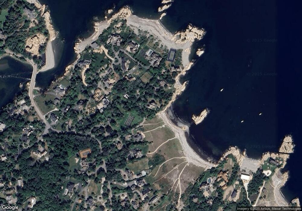
Map
Nearby Homes
- 17 Mohawk Way
- 25 Mohawk Way
- 135 Beach St
- 104 Howard Gleason Rd
- 100 Howard Gleason Rd
- 21-23 Elm Ct
- 356 Atlantic Ave
- 4 Margin St Unit A
- 11 Beach St
- 101 Nichols Rd
- 124 Elm St Unit 202
- 124 Elm St Unit 308
- 87 Elm St Unit 215
- 128 Elm St Unit 211
- 89 Ripley Rd
- 24 Wood Island Rd
- 18 Pleasant St
- 98 Black Horse Ln
- 146 N Main St Unit 146
- 15 Cushing Rd
- 0 Sandy Cove Unit 72399921
- 32 Lothrop Ln
- 43 Lothrop Ln Unit 47
- 36 Lothrop Ln
- 17 Lothrop Ln
- 55 Hobart Ln
- 35 Hobart Ln
- 11 Lothrop Ln
- 55 Lothrop Ln
- 143 Atlantic Ave
- 159 Atlantic Ave
- 161 Atlantic Ave
- 11 Hobart Ln
- 60 Hobart Ln
- 60 Hobart Ln Unit GH
- 7 Lothrop Ln
- 7 Lothrop Ln Unit A
- 7 Lothrop Ln Unit 1
- 7 Lothrop Ln Unit 2
- 7 Lothrop Ln