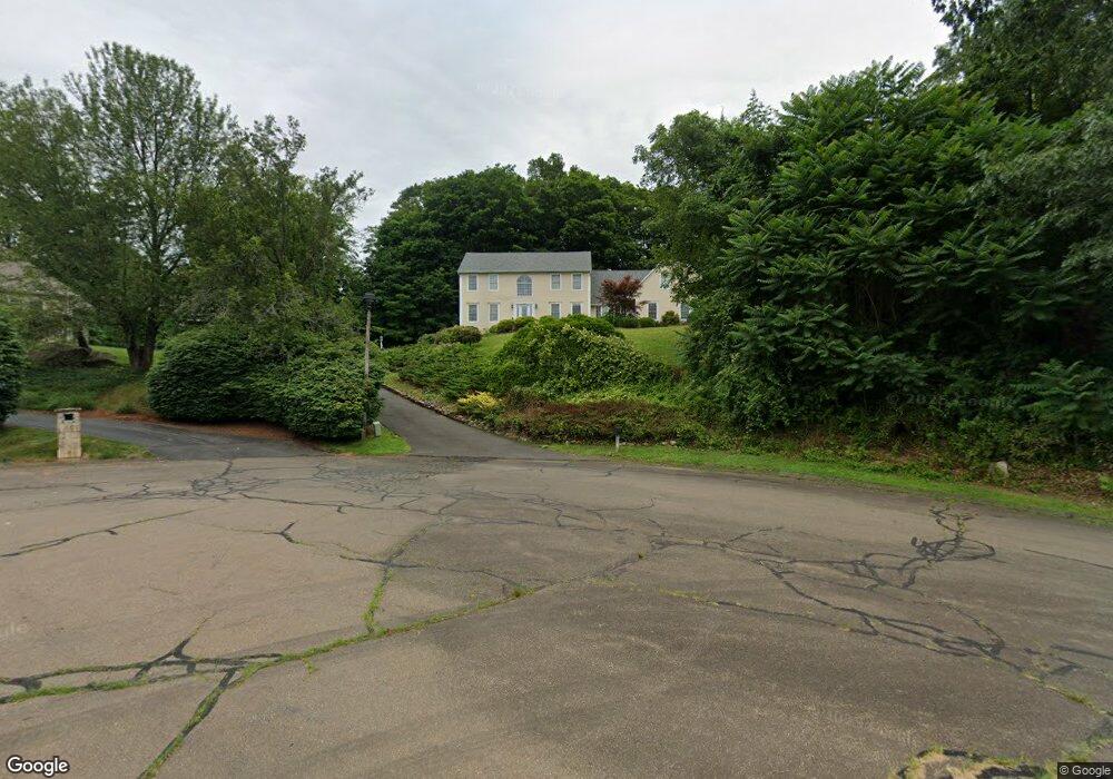
37 Marks Ct Branford, CT 06405
Estimated Value: $722,000 - $972,000
6
Beds
6
Baths
3,357
Sq Ft
$247/Sq Ft
Est. Value
About This Home
This home is located at 37 Marks Ct, Branford, CT 06405 and is currently estimated at $827,995, approximately $246 per square foot. 37 Marks Ct is a home located in New Haven County with nearby schools including Francis Walsh Intermediate School, Branford High School, and St Mary School.
Ownership History
Date
Name
Owned For
Owner Type
Purchase Details
Closed on
Dec 14, 2001
Sold by
Davison Daniel B and Davison Vivian D
Bought by
Patel Mahendra
Current Estimated Value
Home Financials for this Owner
Home Financials are based on the most recent Mortgage that was taken out on this home.
Original Mortgage
$275,000
Interest Rate
6.6%
Purchase Details
Closed on
Jun 26, 1998
Sold by
Quido Rosemarie C and Quido Lori A
Bought by
Davison Daniel B
Home Financials for this Owner
Home Financials are based on the most recent Mortgage that was taken out on this home.
Original Mortgage
$283,500
Interest Rate
7%
Mortgage Type
Unknown
Create a Home Valuation Report for This Property
The Home Valuation Report is an in-depth analysis detailing your home's value as well as a comparison with similar homes in the area
Home Values in the Area
Average Home Value in this Area
Purchase History
| Date | Buyer | Sale Price | Title Company |
|---|---|---|---|
| Patel Mahendra | $380,000 | -- | |
| Davison Daniel B | $315,000 | -- |
Source: Public Records
Mortgage History
| Date | Status | Borrower | Loan Amount |
|---|---|---|---|
| Closed | Davison Daniel B | $260,000 | |
| Closed | Davison Daniel B | $275,000 | |
| Previous Owner | Davison Daniel B | $283,500 | |
| Previous Owner | Davison Daniel B | $21,500 |
Source: Public Records
Tax History
| Year | Tax Paid | Tax Assessment Tax Assessment Total Assessment is a certain percentage of the fair market value that is determined by local assessors to be the total taxable value of land and additions on the property. | Land | Improvement |
|---|---|---|---|---|
| 2025 | $11,779 | $550,400 | $120,700 | $429,700 |
| 2024 | $10,400 | $341,200 | $105,300 | $235,900 |
| 2023 | $10,198 | $341,200 | $105,300 | $235,900 |
| 2022 | $10,048 | $341,200 | $105,300 | $235,900 |
| 2021 | $10,048 | $341,200 | $105,300 | $235,900 |
| 2020 | $9,868 | $341,200 | $105,300 | $235,900 |
| 2019 | $10,308 | $354,600 | $112,700 | $241,900 |
| 2018 | $10,156 | $354,600 | $112,700 | $241,900 |
| 2017 | $10,095 | $354,600 | $112,700 | $241,900 |
| 2016 | $9,720 | $354,600 | $112,700 | $241,900 |
| 2015 | $9,549 | $354,600 | $112,700 | $241,900 |
| 2014 | $9,168 | $349,400 | $112,700 | $236,700 |
Source: Public Records
Map
Nearby Homes
- 173 Mill Plain Rd
- 39 Manorwood Dr
- 211 E Main St Unit 50
- 8 Meadow Circle Rd
- 251 N Main St
- 226 Austin Ryer Ln Unit 226
- 9 Patrick Ln
- 1 Hamre Ln Unit D
- 7 Hamre Ln Unit A
- 121 Damascus Rd
- 200 Damascus Rd
- 7 Bay Path Way Unit 7
- 53 Brushy Plain Rd Unit 3F
- 49 Rose St Unit 204
- 7 Dogwood Ct
- 15 Griffing Pond Rd
- 525 E Main St Unit 69
- 525 E Main St Unit 23
- 525 E Main St Unit 56
- 86 Pine Orchard Rd
- 45 Marks Ct
- 36 Marks Ct
- 112 Mill Plain Rd
- 108 Mill Plain Rd
- 116 Mill Plain Rd
- 44 Marks Ct
- 8 Huntington Dr
- 12 Huntington Dr
- 24 Marks Ct
- 120 Mill Plain Rd
- 20 Huntington Dr
- 12 Marks Ct
- 124 Mill Plain Rd
- 12 Hickory Hill Rd
- 8 Hickory Hill Rd
- 40 Hickory Hill Rd
- 4 Hickory Hill Rd
- 4 Hickory Hill Rd Unit main
- 90 Mill Plain Rd
- 16 Hickory Hill Rd
Your Personal Tour Guide
Ask me questions while you tour the home.