37 Michael Rd Wayland, MA 01778
Estimated Value: $2,137,804 - $2,366,000
5
Beds
5
Baths
4,636
Sq Ft
$477/Sq Ft
Est. Value
About This Home
This home is located at 37 Michael Rd, Wayland, MA 01778 and is currently estimated at $2,211,701, approximately $477 per square foot. 37 Michael Rd is a home with nearby schools including Wayland High School and Veritas Christian Academy.
Create a Home Valuation Report for This Property
The Home Valuation Report is an in-depth analysis detailing your home's value as well as a comparison with similar homes in the area
Home Values in the Area
Average Home Value in this Area
Tax History Compared to Growth
Tax History
| Year | Tax Paid | Tax Assessment Tax Assessment Total Assessment is a certain percentage of the fair market value that is determined by local assessors to be the total taxable value of land and additions on the property. | Land | Improvement |
|---|---|---|---|---|
| 2025 | $29,280 | $1,873,300 | $587,900 | $1,285,400 |
| 2024 | $27,740 | $1,787,400 | $560,100 | $1,227,300 |
| 2023 | $25,861 | $1,553,200 | $509,100 | $1,044,100 |
| 2022 | $25,765 | $1,404,100 | $421,600 | $982,500 |
| 2021 | $25,293 | $1,365,700 | $383,200 | $982,500 |
| 2020 | $24,432 | $1,375,700 | $383,200 | $992,500 |
| 2019 | $14,578 | $797,500 | $365,100 | $432,400 |
| 2018 | $6,583 | $365,100 | $365,100 | $0 |
| 2017 | $6,425 | $354,200 | $354,200 | $0 |
| 2016 | $6,022 | $347,300 | $347,300 | $0 |
| 2015 | $6,387 | $347,300 | $347,300 | $0 |
Source: Public Records
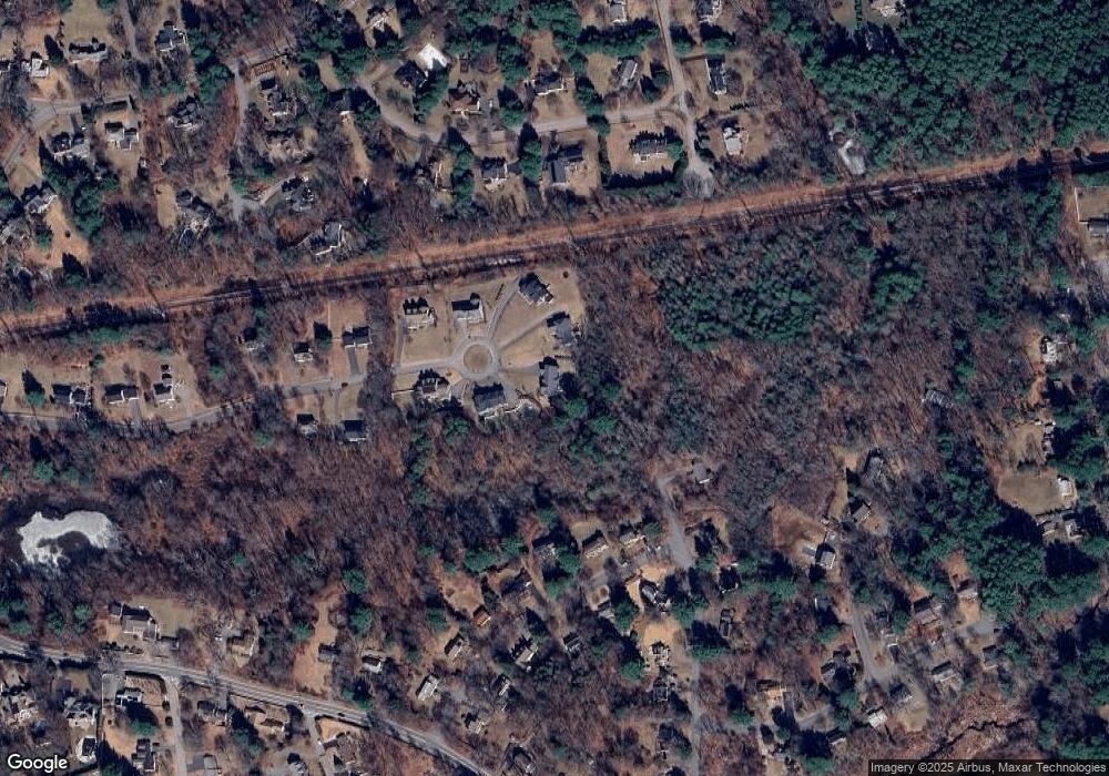
Map
Nearby Homes
- 156 Boston Post Rd
- 11 Wadsworth Ln Unit 11
- 14 Lundy Ln
- 10 Hayward Rd
- 31 White Rd
- 24 Claypit Hill Rd
- 19 Old Connecticut Path
- 2 Forest Hill Rd
- 17 Hastings Way Unit 17
- 50 3 Ponds Rd
- 23 Covered Bridge Ln
- 17 Glezen Ln
- 82 Buckskin Dr
- 7 Shaw Dr
- 72 Love Ln
- 42 Westerly Rd
- 142 Pelham Island Rd
- 1004 Wisteria Way
- 1605 Wisteria Way
- 12 Astra