37 Millstone Dr Concord, NH 03301
South End NeighborhoodEstimated Value: $589,000 - $645,000
3
Beds
2
Baths
2,669
Sq Ft
$229/Sq Ft
Est. Value
About This Home
This home is located at 37 Millstone Dr, Concord, NH 03301 and is currently estimated at $612,503, approximately $229 per square foot. 37 Millstone Dr is a home located in Merrimack County with nearby schools including Abbot-Downing School, Rundlett Middle School, and Concord High School.
Ownership History
Date
Name
Owned For
Owner Type
Purchase Details
Closed on
Apr 29, 2011
Sold by
Champagne Peter K and Champagne Idell G
Bought by
Bernard Loraine C and Bernard Scott
Current Estimated Value
Home Financials for this Owner
Home Financials are based on the most recent Mortgage that was taken out on this home.
Original Mortgage
$249,600
Outstanding Balance
$169,377
Interest Rate
4.76%
Mortgage Type
Purchase Money Mortgage
Estimated Equity
$443,126
Create a Home Valuation Report for This Property
The Home Valuation Report is an in-depth analysis detailing your home's value as well as a comparison with similar homes in the area
Home Values in the Area
Average Home Value in this Area
Purchase History
| Date | Buyer | Sale Price | Title Company |
|---|---|---|---|
| Bernard Loraine C | $312,000 | -- |
Source: Public Records
Mortgage History
| Date | Status | Borrower | Loan Amount |
|---|---|---|---|
| Open | Bernard Loraine C | $141,725 | |
| Open | Bernard Loraine C | $249,600 | |
| Previous Owner | Bernard Loraine C | $252,200 | |
| Previous Owner | Bernard Loraine C | $51,000 |
Source: Public Records
Tax History
| Year | Tax Paid | Tax Assessment Tax Assessment Total Assessment is a certain percentage of the fair market value that is determined by local assessors to be the total taxable value of land and additions on the property. | Land | Improvement |
|---|---|---|---|---|
| 2025 | $12,159 | $417,700 | $152,600 | $265,100 |
| 2024 | $11,566 | $417,700 | $152,600 | $265,100 |
| 2023 | $11,268 | $419,500 | $152,600 | $266,900 |
| 2022 | $10,861 | $419,500 | $152,600 | $266,900 |
| 2021 | $10,415 | $414,600 | $152,600 | $262,000 |
| 2020 | $9,904 | $370,100 | $120,700 | $249,400 |
| 2019 | $9,734 | $350,400 | $116,200 | $234,200 |
| 2018 | $9,559 | $339,100 | $103,100 | $236,000 |
| 2017 | $9,311 | $329,700 | $103,100 | $226,600 |
| 2016 | $9,065 | $327,600 | $103,100 | $224,500 |
| 2015 | $8,366 | $306,000 | $85,700 | $220,300 |
| 2014 | $8,204 | $306,000 | $85,700 | $220,300 |
| 2013 | -- | $316,900 | $85,700 | $231,200 |
| 2012 | -- | $310,800 | $81,800 | $229,000 |
Source: Public Records
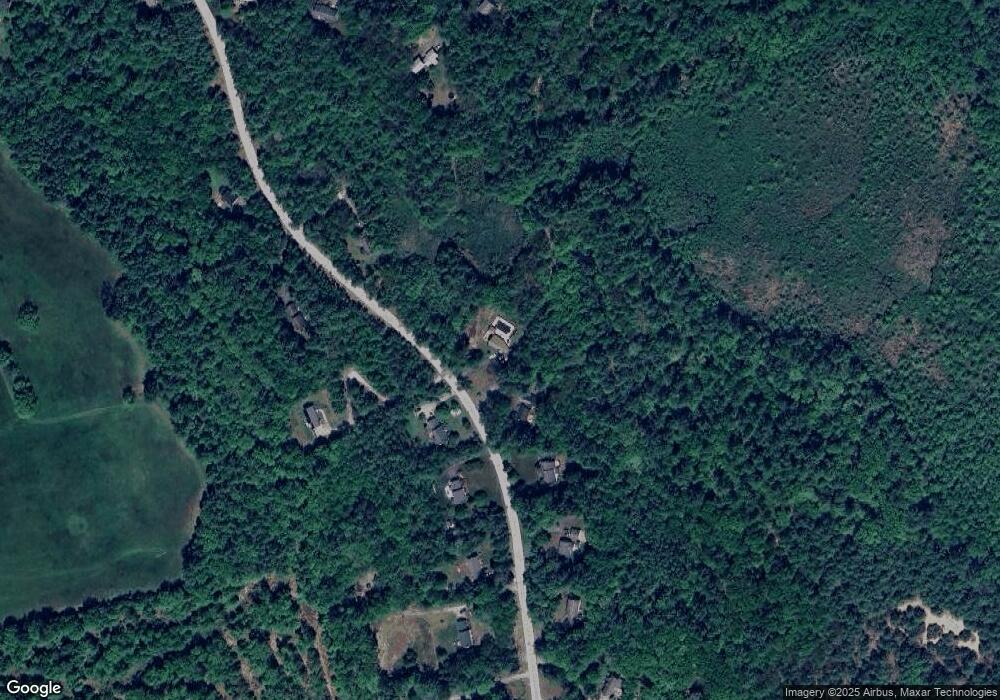
Map
Nearby Homes
- 8 Spillway Ln
- 120 Hooksett Turnpike
- 1 Kelso Dr
- 4 Cedar Ln
- 211 Hedgerose Ln
- 21 Hooksett Turnpike
- 114 Hopkinton Rd
- 1 Deer Track Ln
- 1 Appaloosa Run
- 71 Overlook Dr
- 285 Pleasant St
- 111 Page Rd
- 244 Page Rd
- 8 Longview Dr
- 250 Grapevine Rd
- 43 Hampshire Hills Dr
- 62 Elizabeth Ln
- 1 Kensington Rd
- 2 Goldenrod Ln
- 24 Cypress St
- 41 Millstone Dr
- 40 Millstone Dr
- 45 Millstone Dr
- 44 Millstone Dr
- 27 Millstone Dr
- 32 Millstone Dr
- 49 Millstone Dr
- 48 Millstone Dr
- 53 Millstone Dr
- 52 Millstone Dr
- 12 Spillway Ln
- 22 Millstone Dr
- 57 Millstone Dr
- 56 Millstone Dr
- 19 Millstone Dr
- 20 Spillway Ln
- 16 Millstone Dr
- 2 Spillway Ln
- 15 Spillway Ln
- 10 Millstone Dr
Your Personal Tour Guide
Ask me questions while you tour the home.