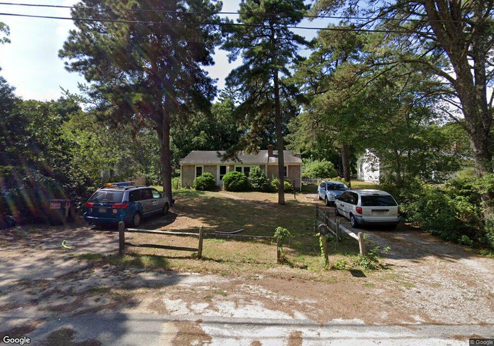
37 Naushon Rd Dennis Port, MA 02639
Dennis Port NeighborhoodEstimated Value: $553,000 - $606,000
3
Beds
1
Bath
1,201
Sq Ft
$478/Sq Ft
Est. Value
About This Home
This home is located at 37 Naushon Rd, Dennis Port, MA 02639 and is currently estimated at $574,395, approximately $478 per square foot. 37 Naushon Rd is a home located in Barnstable County with nearby schools including Dennis-Yarmouth Regional High School and St. Pius X. School.
Ownership History
Date
Name
Owned For
Owner Type
Purchase Details
Closed on
Oct 24, 2003
Sold by
Purinton Carl R and Purinton Linda M
Bought by
Terrio John and Terrio Carol A
Current Estimated Value
Home Financials for this Owner
Home Financials are based on the most recent Mortgage that was taken out on this home.
Original Mortgage
$239,300
Outstanding Balance
$111,212
Interest Rate
6.15%
Mortgage Type
Purchase Money Mortgage
Estimated Equity
$463,183
Purchase Details
Closed on
Aug 2, 1995
Sold by
Christman Robert K and Christman Sally A
Bought by
Purinton Carol R and Purinton Linda M
Create a Home Valuation Report for This Property
The Home Valuation Report is an in-depth analysis detailing your home's value as well as a comparison with similar homes in the area
Home Values in the Area
Average Home Value in this Area
Purchase History
| Date | Buyer | Sale Price | Title Company |
|---|---|---|---|
| Terrio John | $265,900 | -- | |
| Purinton Carol R | $92,500 | -- |
Source: Public Records
Mortgage History
| Date | Status | Borrower | Loan Amount |
|---|---|---|---|
| Open | Purinton Carol R | $239,300 |
Source: Public Records
Tax History Compared to Growth
Tax History
| Year | Tax Paid | Tax Assessment Tax Assessment Total Assessment is a certain percentage of the fair market value that is determined by local assessors to be the total taxable value of land and additions on the property. | Land | Improvement |
|---|---|---|---|---|
| 2025 | $2,279 | $526,300 | $202,300 | $324,000 |
| 2024 | $2,129 | $485,000 | $194,500 | $290,500 |
| 2023 | $2,059 | $440,900 | $176,800 | $264,100 |
| 2022 | $1,976 | $352,800 | $159,300 | $193,500 |
| 2021 | $44 | $315,500 | $156,200 | $159,300 |
| 2020 | $44 | $293,000 | $144,200 | $148,800 |
| 2019 | $1,688 | $273,600 | $141,300 | $132,300 |
| 2018 | $1,688 | $266,200 | $145,800 | $120,400 |
| 2017 | $693 | $251,000 | $134,500 | $116,500 |
| 2016 | $1,551 | $237,500 | $140,200 | $97,300 |
| 2015 | $1,520 | $237,500 | $140,200 | $97,300 |
| 2014 | $1,401 | $220,600 | $123,300 | $97,300 |
Source: Public Records
Map
Nearby Homes
- 4 Coffey Ln
- 125 Main St Unit 3
- 19 Standish Way
- 72 Bassett Ln
- 71 Main St
- 22 Wixon Rd
- 268 Main St
- 31 Easy St
- 12 Spoonbill Rd
- 80 Michaels Ave
- 78 Upper County Rd Unit A&B
- 78 Upper County Rd
- 95 Center St
- 12 Candlewood Ln Unit 2-9
- 24 Indian Trail
- 20 Aunt Debbys Rd
- 15 Woodside Park Rd
- 166 Upper County Rd Unit 1-4
- 9 Country Ln
- 26 Center St