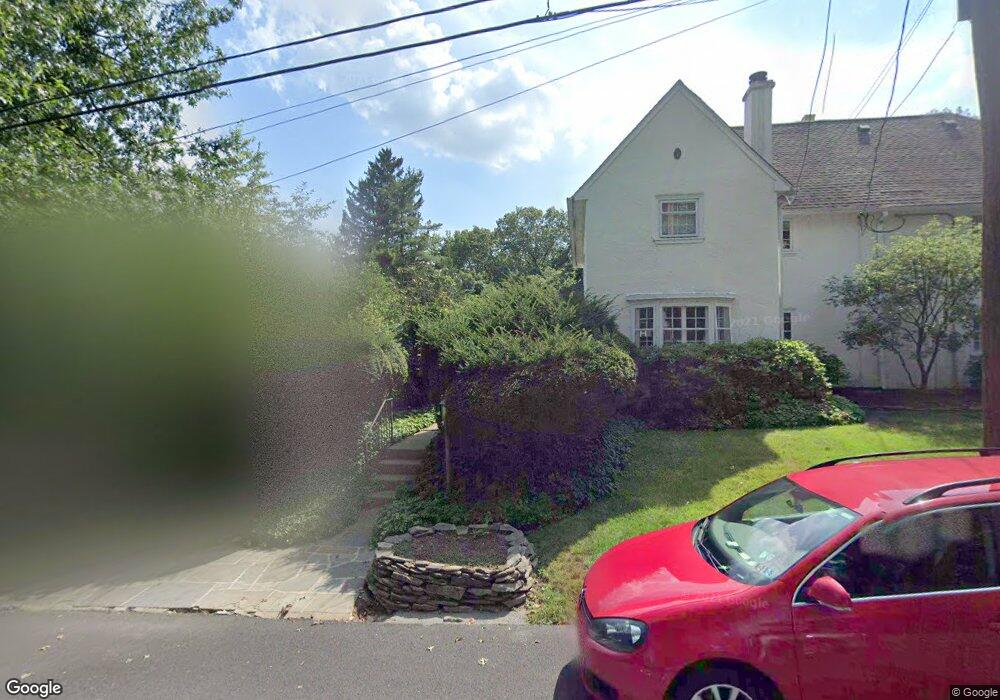
37 Oak Rd Unit 1035 Philadelphia, PA 19118
East Oak Lane NeighborhoodEstimated Value: $361,000 - $457,440
4
Beds
3
Baths
2,572
Sq Ft
$154/Sq Ft
Est. Value
About This Home
This home is located at 37 Oak Rd Unit 1035, Philadelphia, PA 19118 and is currently estimated at $395,610, approximately $153 per square foot. 37 Oak Rd Unit 1035 is a home located in Philadelphia County with nearby schools including Ellwood School, Gen. Louis Wagner Middle School, and Martin Luther King High School.
Ownership History
Date
Name
Owned For
Owner Type
Purchase Details
Closed on
Jan 19, 2021
Sold by
Childs Jermaine
Bought by
Edmonds Eric S and Edmonds Katrina N
Current Estimated Value
Home Financials for this Owner
Home Financials are based on the most recent Mortgage that was taken out on this home.
Original Mortgage
$318,250
Outstanding Balance
$283,185
Interest Rate
2.67%
Mortgage Type
New Conventional
Estimated Equity
$112,425
Create a Home Valuation Report for This Property
The Home Valuation Report is an in-depth analysis detailing your home's value as well as a comparison with similar homes in the area
Home Values in the Area
Average Home Value in this Area
Purchase History
| Date | Buyer | Sale Price | Title Company |
|---|---|---|---|
| Edmonds Eric S | $335,000 | Foundation Abstract Llc Hors |
Source: Public Records
Mortgage History
| Date | Status | Borrower | Loan Amount |
|---|---|---|---|
| Open | Edmonds Eric S | $318,250 |
Source: Public Records
Tax History Compared to Growth
Tax History
| Year | Tax Paid | Tax Assessment Tax Assessment Total Assessment is a certain percentage of the fair market value that is determined by local assessors to be the total taxable value of land and additions on the property. | Land | Improvement |
|---|---|---|---|---|
| 2025 | $4,155 | $404,900 | $80,980 | $323,920 |
| 2024 | $4,155 | $404,900 | $80,980 | $323,920 |
| 2023 | $4,155 | $296,800 | $59,360 | $237,440 |
| 2022 | $3,270 | $296,800 | $59,360 | $237,440 |
| 2021 | $3,270 | $0 | $0 | $0 |
| 2020 | $3,270 | $0 | $0 | $0 |
| 2019 | $3,255 | $0 | $0 | $0 |
| 2018 | $2,191 | $0 | $0 | $0 |
| 2017 | $2,611 | $0 | $0 | $0 |
| 2016 | $2,191 | $0 | $0 | $0 |
| 2015 | $2,291 | $0 | $0 | $0 |
| 2014 | -- | $201,000 | $45,704 | $155,296 |
| 2012 | -- | $24,288 | $6,181 | $18,107 |
Source: Public Records
Map
Nearby Homes
- 6605 Lawnton Ave
- 6803 N 12th St
- 6733 N 8th St
- 1203 68th Ave
- 6607 N 13th St
- 6846 N 7th St
- 1200 W 65th Ave
- 6728 30 Old York Rd
- 7208 Chestnut Ave
- 6515 N Park Ave
- 6409 N 7th St
- 1010 W Chelten Ave
- 6418 N 13th St
- 512 Crest Ave
- 900 Valley Rd Unit D-203
- 1420 67th Ave
- 7301 Chestnut Ave
- 6738 N Carlisle St
- 6437 N Broad St
- 417 66th Ave
- 1027 Oak Lane Ave
- 1015 Oak Ln
- 6705 Lawnton Ave
- 1031 Oak Lane Ave
- 1016 Oak Ln
- 1017 Oak Lane Ave
- 1012 Oak Ln
- 6715 Lawnton Ave
- 6740 Lawnton Ave
- 1008 Oak Lane Ave
- 1035 Oak Ln
- 6742 Lawnton Ave
- 1039 Oak Lane Ave
- 1001 Oak Lane Ave
- 6719 Lawnton Ave
- 6655 Lawnton Ave
- 1043 Oak Ln
- 6744 Lawnton Ave
- 6802 N 10th St
- 6723 Lawnton Ave