37 Pasture Gate Rd Vineyard Haven, MA 02568
Vineyard Haven NeighborhoodEstimated Value: $5,012,000 - $5,236,064
5
Beds
6
Baths
7,604
Sq Ft
$674/Sq Ft
Est. Value
About This Home
This home is located at 37 Pasture Gate Rd, Vineyard Haven, MA 02568 and is currently estimated at $5,124,032, approximately $673 per square foot. 37 Pasture Gate Rd is a home located in Dukes County with nearby schools including Tisbury Elementary School, Martha's Vineyard Regional High School, and Martha's Vineyard Charter School.
Ownership History
Date
Name
Owned For
Owner Type
Purchase Details
Closed on
Sep 3, 1987
Bought by
Ray Earle A
Current Estimated Value
Create a Home Valuation Report for This Property
The Home Valuation Report is an in-depth analysis detailing your home's value as well as a comparison with similar homes in the area
Home Values in the Area
Average Home Value in this Area
Purchase History
| Date | Buyer | Sale Price | Title Company |
|---|---|---|---|
| Ray Earle A | -- | -- |
Source: Public Records
Mortgage History
| Date | Status | Borrower | Loan Amount |
|---|---|---|---|
| Open | Ray Earle A | $514,000 | |
| Closed | Ray Earle A | $585,000 | |
| Closed | Ray Earle A | $250,000 | |
| Closed | Ray Earle A | $700,000 |
Source: Public Records
Tax History Compared to Growth
Tax History
| Year | Tax Paid | Tax Assessment Tax Assessment Total Assessment is a certain percentage of the fair market value that is determined by local assessors to be the total taxable value of land and additions on the property. | Land | Improvement |
|---|---|---|---|---|
| 2025 | $37,922 | $5,009,500 | $1,132,500 | $3,877,000 |
| 2024 | $39,681 | $4,972,500 | $1,007,700 | $3,964,800 |
| 2023 | $38,849 | $5,307,300 | $848,300 | $4,459,000 |
| 2022 | $36,078 | $4,146,900 | $511,400 | $3,635,500 |
| 2021 | $31,482 | $3,433,100 | $511,400 | $2,921,700 |
| 2020 | $32,627 | $3,497,000 | $575,300 | $2,921,700 |
| 2019 | $31,716 | $3,458,700 | $537,000 | $2,921,700 |
| 2018 | $34,521 | $3,653,000 | $460,200 | $3,192,800 |
| 2017 | $27,744 | $3,045,400 | $566,300 | $2,479,100 |
| 2016 | $28,028 | $3,059,800 | $580,700 | $2,479,100 |
| 2015 | $27,173 | $3,046,300 | $567,200 | $2,479,100 |
Source: Public Records
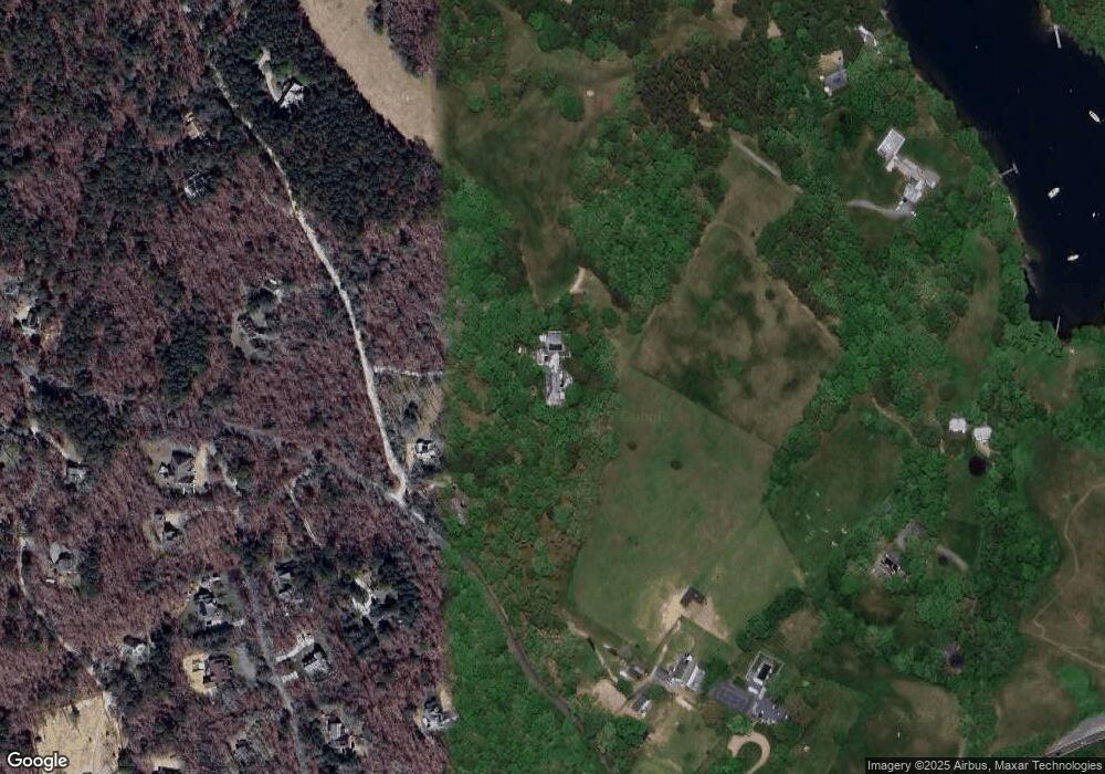
Map
Nearby Homes
- 50 Lantern Ln
- 51 Lantern Ln
- 56 Holmes Hole Rd Unit 10
- 56 Holmes Hole Rd
- 136 W Spring St
- 16 Red Coat Hill Rd
- 249 State Rd
- 159 Lake St
- 208 Irenes Way
- 5A2.12 State Rd
- 344 Greenwood Ave
- 169 Clover Hill Dr
- 180 Pilot Hill Farm Rd
- 73 & 0 Old Country Ln
- 36 Ferro Way
- 140 Midland Ave
- 128 & 136 Spring St
- 27 Chapde Ln
- 268 Tashmoo Ave
- 70 Spring St
- 20 Pasture Gate Rd
- 19 Chappaquonsett Rd
- 127 Lamberts Cove Rd
- 177 Water Gate Rd
- 150 Lamberts Cove Rd
- 70 Chappaquonsett Rd
- 67 Lamberts Cove Rd
- 181 Mayflower Ln
- 76 Lamberts Cove Rd
- 31 Lamberts Cove Road Vh434
- 153 Mayflower Ln
- 210 Mayflower Ln
- 103 Chappaquonsett Rd
- 31 Water Gate Rd
- 31 Lamberts Cove Rd
- 56 Plum Cove Rd
- 174 Mayflower Ln
- 190 Mayflower Ln
- 115 Pasture Gate Rd
- 135 Mayflower Ln