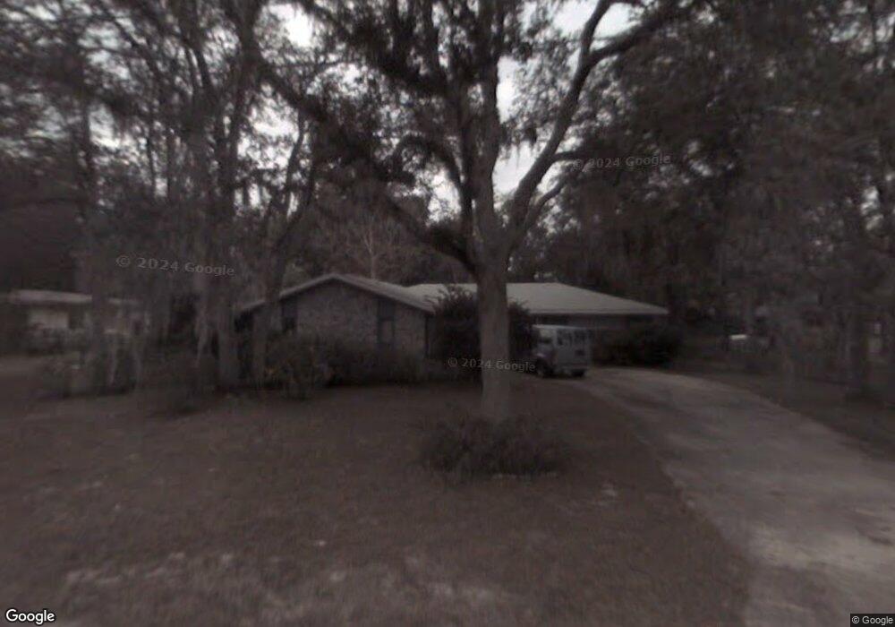
37 Poinsettia Dr Deland, FL 32724
North DeLand NeighborhoodEstimated Value: $249,427 - $296,000
3
Beds
2
Baths
1,430
Sq Ft
$191/Sq Ft
Est. Value
About This Home
This home is located at 37 Poinsettia Dr, Deland, FL 32724 and is currently estimated at $273,357, approximately $191 per square foot. 37 Poinsettia Dr is a home located in Volusia County with nearby schools including George W. Marks Elementary School, Deland High School, and Deland Middle School.
Ownership History
Date
Name
Owned For
Owner Type
Purchase Details
Closed on
Sep 28, 2015
Sold by
Maxwell William W
Bought by
Schandel Patricia K and Maxwell William W
Current Estimated Value
Purchase Details
Closed on
Mar 8, 2013
Sold by
Mayhew Jean B
Bought by
Maxwell William Wallace
Purchase Details
Closed on
Jun 14, 2004
Sold by
Bouton Craig J and Bouton Alfred T
Bought by
Maxwell William W
Purchase Details
Closed on
Oct 15, 1987
Bought by
Maxwell William W
Purchase Details
Closed on
May 15, 1984
Bought by
Maxwell William W
Purchase Details
Closed on
Jul 15, 1975
Bought by
Maxwell William W
Create a Home Valuation Report for This Property
The Home Valuation Report is an in-depth analysis detailing your home's value as well as a comparison with similar homes in the area
Home Values in the Area
Average Home Value in this Area
Purchase History
| Date | Buyer | Sale Price | Title Company |
|---|---|---|---|
| Schandel Patricia K | -- | Attorney | |
| Maxwell William Wallace | -- | Attorney | |
| Maxwell William Wallace | -- | Attorney | |
| Maxwell William W | $139,000 | Volusia Title Services Inc | |
| Maxwell William W | $66,000 | -- | |
| Maxwell William W | $100 | -- | |
| Maxwell William W | $37,500 | -- |
Source: Public Records
Tax History Compared to Growth
Tax History
| Year | Tax Paid | Tax Assessment Tax Assessment Total Assessment is a certain percentage of the fair market value that is determined by local assessors to be the total taxable value of land and additions on the property. | Land | Improvement |
|---|---|---|---|---|
| 2025 | $1,726 | $126,410 | -- | -- |
| 2024 | $1,726 | $122,848 | -- | -- |
| 2023 | $1,726 | $119,270 | $0 | $0 |
| 2022 | $1,670 | $115,796 | $0 | $0 |
| 2021 | $1,709 | $112,423 | $0 | $0 |
| 2019 | $1,712 | $108,378 | $0 | $0 |
| 2018 | $1,691 | $106,357 | $0 | $0 |
| 2017 | $1,667 | $104,169 | $0 | $0 |
| 2016 | $2,392 | $96,261 | $0 | $0 |
| 2015 | $2,388 | $93,264 | $0 | $0 |
| 2014 | $2,208 | $85,532 | $0 | $0 |
Source: Public Records
Map
Nearby Homes
- 105 Blanco Dr
- 285 Raintree Cir Unit 72
- 188 Evergreen Terrace
- 297 Raintree Cir
- 238 Crooked Tree Trail
- 141 Evergreen Terrace
- 240 Evergreen Terrace
- 211 Raintree Cir Unit 85
- 193 Raintree Cir Unit 88
- 300 Raintree Cir
- 235 Evergreen Terrace
- 348 Raintree Cir
- 336 Raintree Cir Unit 11
- 55 Wildwood Trail
- 256 Crooked Tree Trail
- 219 Brevity Ln
- 120 Los Arbor Dr
- 122 Los Arbor Dr
- 172 Robinhood Dr
- 66 Elmwood Trail
- 35 Poinsettia Dr
- 92 Melodie Ln
- 88 Melodie Ln
- 86 Melodie Ln
- 90 Melodie Ln
- 33 Poinsettia Dr
- 84 Melodie Ln
- 34 Poinsettia Dr
- 32 Poinsettia Dr
- 39 Virginia Ave
- 82 Melodie Ln
- 31 Poinsettia Dr
- 80 Melodie Ln
- 30 Poinsettia Dr
- 33 Virginia Ave
- 100 Sandspur Ln
- 103 Melodie Ln
- 101 Melodie Ln
- 85 Melodie Ln
- 41 Virginia Ave