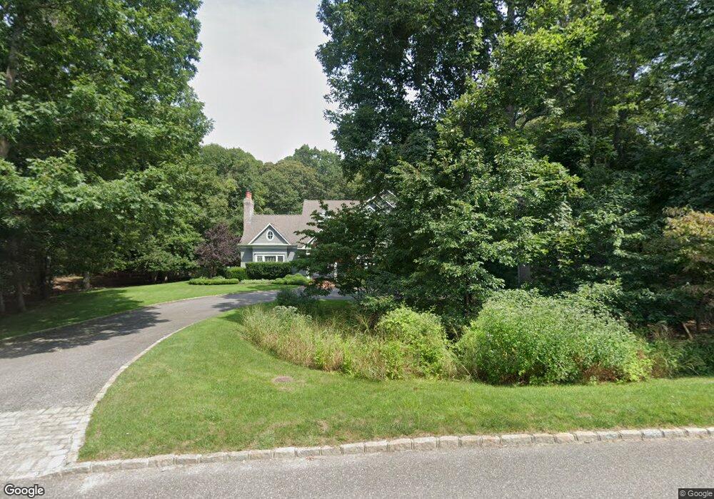
37 Rawson Rd Sag Harbor, NY 11963
Estimated Value: $2,769,181 - $4,093,000
5
Beds
5
Baths
4,149
Sq Ft
$762/Sq Ft
Est. Value
About This Home
This home is located at 37 Rawson Rd, Sag Harbor, NY 11963 and is currently estimated at $3,159,545, approximately $761 per square foot. 37 Rawson Rd is a home located in Suffolk County with nearby schools including Sag Harbor Elementary School and Pierson Middle/High School.
Ownership History
Date
Name
Owned For
Owner Type
Purchase Details
Closed on
Jun 24, 2013
Sold by
Cobos Peter J and Cobos Mary Ellen
Bought by
Cobos Mary Ellen
Current Estimated Value
Purchase Details
Closed on
Jul 18, 2001
Sold by
Banks Matthew
Bought by
Cobos Peter J and Cobos Mary Ellen
Home Financials for this Owner
Home Financials are based on the most recent Mortgage that was taken out on this home.
Original Mortgage
$1,000,000
Interest Rate
6.75%
Purchase Details
Closed on
Aug 7, 1998
Sold by
Tope Curto Ltd
Bought by
Banks Matthew
Home Financials for this Owner
Home Financials are based on the most recent Mortgage that was taken out on this home.
Original Mortgage
$670,000
Interest Rate
6.94%
Mortgage Type
Stand Alone First
Purchase Details
Closed on
Jul 25, 1997
Sold by
Curto & Curto Inc
Bought by
Tope Curto Ltd
Purchase Details
Closed on
Aug 22, 1996
Sold by
Swanson Janet T and Swanson Janet Thomas
Bought by
Curto & Curto Inc
Create a Home Valuation Report for This Property
The Home Valuation Report is an in-depth analysis detailing your home's value as well as a comparison with similar homes in the area
Home Values in the Area
Average Home Value in this Area
Purchase History
| Date | Buyer | Sale Price | Title Company |
|---|---|---|---|
| Cobos Mary Ellen | -- | -- | |
| Cobos Peter J | $1,500,000 | Fidelity National Title Ins | |
| Banks Matthew | $780,000 | Chicago Title Insurance Co | |
| Tope Curto Ltd | -- | Commonwealth Land Title Ins | |
| Curto & Curto Inc | $150,000 | Chicago Title Insurance Co |
Source: Public Records
Mortgage History
| Date | Status | Borrower | Loan Amount |
|---|---|---|---|
| Previous Owner | Cobos Peter J | $1,000,000 | |
| Previous Owner | Banks Matthew | $670,000 |
Source: Public Records
Tax History Compared to Growth
Tax History
| Year | Tax Paid | Tax Assessment Tax Assessment Total Assessment is a certain percentage of the fair market value that is determined by local assessors to be the total taxable value of land and additions on the property. | Land | Improvement |
|---|---|---|---|---|
| 2024 | -- | $1,528,600 | $688,200 | $840,400 |
| 2023 | -- | $1,528,600 | $688,200 | $840,400 |
| 2022 | $10,540 | $1,528,600 | $688,200 | $840,400 |
| 2021 | $10,540 | $1,528,600 | $688,200 | $840,400 |
| 2020 | $10,284 | $1,528,600 | $688,200 | $840,400 |
| 2019 | $10,284 | $0 | $0 | $0 |
| 2018 | -- | $1,374,900 | $598,400 | $776,500 |
| 2017 | $9,952 | $1,374,900 | $598,400 | $776,500 |
| 2016 | $10,299 | $1,374,900 | $598,400 | $776,500 |
| 2015 | -- | $1,374,900 | $598,400 | $776,500 |
| 2014 | -- | $1,374,900 | $598,400 | $776,500 |
Source: Public Records
Map
Nearby Homes
- 9 Shadyrest Dr
- 24 Shadyrest Dr
- 2222 Noyack Rd
- 2421 Noyac Rd
- 40 Scrimshaw Dr
- 31 Rolling Hill Ct W
- 2524 Noyack Rd
- 2885 Deerfield Rd
- 59 Whalebone Landing Rd
- 2587 Deerfield Rd
- 40 Highlands Dr
- 28 Bay View Rd N
- 125 Laurel Valley Dr
- 22 Bay View Rd W
- 22 Fern Rd
- 2268 Deerfield Rd
- 2803 Noyac Rd
- 26 Pine Tree Rd
- 1739 Millstone Rd
- 14 Oak Grove Rd