37 Red Gate Rd Tyngsboro, MA 01879
Estimated Value: $644,000 - $663,000
4
Beds
2
Baths
1,536
Sq Ft
$425/Sq Ft
Est. Value
About This Home
This home is located at 37 Red Gate Rd, Tyngsboro, MA 01879 and is currently estimated at $652,103, approximately $424 per square foot. 37 Red Gate Rd is a home located in Middlesex County with nearby schools including Tyngsborough Elementary School, Tyngsborough Middle School, and Academy of Notre Dame - Upper School.
Ownership History
Date
Name
Owned For
Owner Type
Purchase Details
Closed on
Jul 6, 2022
Sold by
Nevejans Carl M
Bought by
Int Carl M Nevejans
Current Estimated Value
Purchase Details
Closed on
Jan 9, 2004
Sold by
Nevejans Carl M and Nevejans Jodie
Bought by
Nevejans Carl M
Home Financials for this Owner
Home Financials are based on the most recent Mortgage that was taken out on this home.
Original Mortgage
$265,000
Interest Rate
5.88%
Mortgage Type
Purchase Money Mortgage
Purchase Details
Closed on
Mar 7, 2002
Sold by
Miller John M and Miller Adele M
Bought by
Nevejans Carl M and Nevejans Jodie
Home Financials for this Owner
Home Financials are based on the most recent Mortgage that was taken out on this home.
Original Mortgage
$249,000
Interest Rate
7.01%
Mortgage Type
Purchase Money Mortgage
Purchase Details
Closed on
May 6, 1996
Sold by
Powers Jeffrey D and Powers Roberta
Bought by
Miller John and Miller Adele
Home Financials for this Owner
Home Financials are based on the most recent Mortgage that was taken out on this home.
Original Mortgage
$126,300
Interest Rate
7.82%
Mortgage Type
Purchase Money Mortgage
Create a Home Valuation Report for This Property
The Home Valuation Report is an in-depth analysis detailing your home's value as well as a comparison with similar homes in the area
Home Values in the Area
Average Home Value in this Area
Purchase History
| Date | Buyer | Sale Price | Title Company |
|---|---|---|---|
| Int Carl M Nevejans | -- | None Available | |
| Nevejans Carl M | -- | -- | |
| Nevejans Carl M | $289,000 | -- | |
| Miller John | $168,400 | -- |
Source: Public Records
Mortgage History
| Date | Status | Borrower | Loan Amount |
|---|---|---|---|
| Previous Owner | Nevejans Carl M | $265,000 | |
| Previous Owner | Miller John | $249,000 | |
| Previous Owner | Miller John | $144,000 | |
| Previous Owner | Miller John | $12,300 | |
| Previous Owner | Miller John | $126,300 |
Source: Public Records
Tax History Compared to Growth
Tax History
| Year | Tax Paid | Tax Assessment Tax Assessment Total Assessment is a certain percentage of the fair market value that is determined by local assessors to be the total taxable value of land and additions on the property. | Land | Improvement |
|---|---|---|---|---|
| 2025 | $69 | $558,200 | $277,900 | $280,300 |
| 2024 | $6,934 | $545,100 | $270,600 | $274,500 |
| 2023 | $6,567 | $464,400 | $227,000 | $237,400 |
| 2022 | $6,272 | $419,800 | $198,700 | $221,100 |
| 2021 | $6,153 | $382,900 | $181,300 | $201,600 |
| 2020 | $6,039 | $371,600 | $172,600 | $199,000 |
| 2019 | $5,843 | $345,100 | $163,900 | $181,200 |
| 2018 | $5,790 | $338,400 | $163,900 | $174,500 |
| 2017 | $5,635 | $328,400 | $163,900 | $164,500 |
| 2016 | $5,563 | $316,800 | $163,900 | $152,900 |
| 2015 | $5,298 | $312,400 | $159,500 | $152,900 |
Source: Public Records
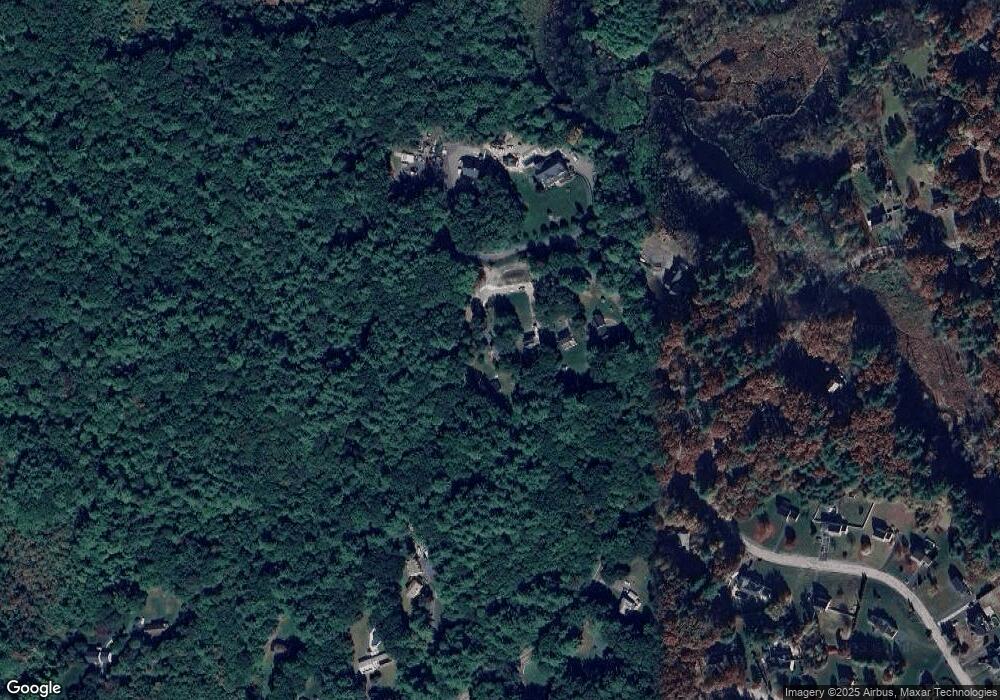
Map
Nearby Homes
- 454 Dunstable Rd
- 7 Axletree Rd
- 160 Westford Rd
- 0 Lowell St
- 0 Dunstable Rd
- 15 Stone Ridge Rd
- 446 Westford St
- 20 Highland Rd
- 11 Old Hickory Rd
- 22 Highland Rd
- 76 Russells Way
- 10 Dickens Ln
- 23 Morrison Ln
- 14 Centercrest Dr Unit 14
- 24 Old Tyng Rd
- 46 Pawtucket Blvd Unit 37
- 20 Merrimac Way Unit 20E
- 56 Frost Rd
- 6 Ingalls Rd
- 28 Juniper Ln Unit 65