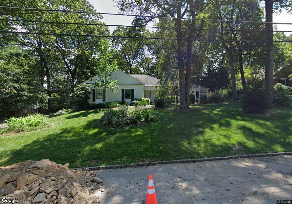
37 Rolling Hill Dr Morristown, NJ 07960
Estimated Value: $990,000 - $1,184,000
4
Beds
4
Baths
2,272
Sq Ft
$477/Sq Ft
Est. Value
About This Home
This home is located at 37 Rolling Hill Dr, Morristown, NJ 07960 and is currently estimated at $1,084,141, approximately $477 per square foot. 37 Rolling Hill Dr is a home located in Morris County with nearby schools including Hillcrest School, Thomas Jefferson School, and Alexander Hamilton School.
Create a Home Valuation Report for This Property
The Home Valuation Report is an in-depth analysis detailing your home's value as well as a comparison with similar homes in the area
Home Values in the Area
Average Home Value in this Area
Tax History Compared to Growth
Tax History
| Year | Tax Paid | Tax Assessment Tax Assessment Total Assessment is a certain percentage of the fair market value that is determined by local assessors to be the total taxable value of land and additions on the property. | Land | Improvement |
|---|---|---|---|---|
| 2025 | $12,595 | $629,100 | $276,500 | $352,600 |
| 2024 | $12,613 | $629,100 | $276,500 | $352,600 |
| 2023 | $12,613 | $629,100 | $276,500 | $352,600 |
| 2022 | $12,028 | $629,100 | $276,500 | $352,600 |
| 2021 | $12,028 | $629,100 | $276,500 | $352,600 |
| 2020 | $11,714 | $629,100 | $276,500 | $352,600 |
| 2019 | $11,531 | $629,100 | $276,500 | $352,600 |
| 2018 | $11,406 | $629,100 | $276,500 | $352,600 |
| 2017 | $11,330 | $629,100 | $276,500 | $352,600 |
| 2016 | $11,154 | $629,100 | $276,500 | $352,600 |
| 2015 | $10,509 | $414,400 | $195,500 | $218,900 |
| 2014 | $10,372 | $414,400 | $195,500 | $218,900 |
Source: Public Records
Map
Nearby Homes
- 282 Mount Kemble Ave
- 97 Skyline Dr
- 4 Old Harter Rd
- 237 Mount Kemble Ave
- 2 Blackwell Ave
- 22 Mountainside Dr
- 24 Spring Brook Rd
- 9 Dorothy Dr
- 1 Twin Oaks Ln
- 6 Brookfield Way
- 9 Valley View Rd
- 143 Hillcrest Ave
- 6 Ash Ln
- 11 Shadowbrook Ln
- 10 Westminster Place
- 26 Brookfield Way
- 9 Wren Ct
- 7 Sherwood Dr
- 51 Mount Kemble Ave Unit 405
- 16 Dellwood Ave
- 39 Rolling Hill Dr
- 35 Rolling Hill Dr
- 17 Forest Dr
- 32 Rolling Hill Dr
- 34 Rolling Hill Dr
- 15 Forest Dr
- 19 Forest Dr
- 2 Dale Dr
- 33 Rolling Hill Dr
- 30 Rolling Hill Dr
- 4 Dale Dr
- 11 Forest Dr
- 28 Rolling Hill Dr
- 38 Rolling Hill Dr
- 31 Rolling Hill Dr
- 18 Forest Dr
- 45 Rolling Hill Dr
- 20 Forest Dr
- 6 Dale Dr
- 16 Forest Dr