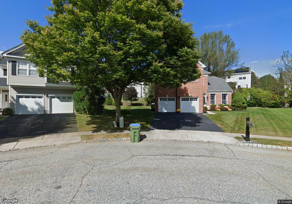
37 Rolling Rapids Ct Hackettstown, NJ 07840
Estimated Value: $545,312 - $577,000
Studio
--
Bath
2,043
Sq Ft
$278/Sq Ft
Est. Value
About This Home
This home is located at 37 Rolling Rapids Ct, Hackettstown, NJ 07840 and is currently estimated at $567,828, approximately $277 per square foot. 37 Rolling Rapids Ct is a home with nearby schools including Willow Grove Elementary School, Hackettstown Middle School, and Hackettstown High School.
Ownership History
Date
Name
Owned For
Owner Type
Purchase Details
Closed on
Sep 9, 2010
Sold by
Otto Kristopher and Juhls Lori N
Bought by
Otto Kristopher and Otto Lori N
Current Estimated Value
Home Financials for this Owner
Home Financials are based on the most recent Mortgage that was taken out on this home.
Original Mortgage
$318,508
Outstanding Balance
$208,283
Interest Rate
4.25%
Mortgage Type
FHA
Estimated Equity
$359,545
Purchase Details
Closed on
Mar 16, 2005
Sold by
Le Hung M and Le Tu C
Bought by
Otto Kristopher and Juhls Lori N
Home Financials for this Owner
Home Financials are based on the most recent Mortgage that was taken out on this home.
Original Mortgage
$303,600
Interest Rate
5.79%
Mortgage Type
Fannie Mae Freddie Mac
Create a Home Valuation Report for This Property
The Home Valuation Report is an in-depth analysis detailing your home's value as well as a comparison with similar homes in the area
Home Values in the Area
Average Home Value in this Area
Purchase History
| Date | Buyer | Sale Price | Title Company |
|---|---|---|---|
| Otto Kristopher | -- | None Available | |
| Otto Kristopher | $379,500 | -- |
Source: Public Records
Mortgage History
| Date | Status | Borrower | Loan Amount |
|---|---|---|---|
| Open | Otto Kristopher | $318,508 | |
| Previous Owner | Otto Kristopher | $303,600 | |
| Closed | Otto Kristopher | $25,000 |
Source: Public Records
Tax History
| Year | Tax Paid | Tax Assessment Tax Assessment Total Assessment is a certain percentage of the fair market value that is determined by local assessors to be the total taxable value of land and additions on the property. | Land | Improvement |
|---|---|---|---|---|
| 2025 | $11,491 | $336,100 | $103,300 | $232,800 |
| 2024 | $11,340 | $336,100 | $103,300 | $232,800 |
Source: Public Records
Map
Nearby Homes
- 35 Rolling Rapids Ct
- 39 Rolling Rapids Ct
- 25 Saxton Dr
- 23 Saxton Dr
- 27 Saxton Dr
- 21 Saxton Dr
- 33 Rolling Rapids Ct
- 41 Rolling Rapids Ct
- 29 Saxton Dr
- 19 Saxton Dr
- 17 Saxton Dr
- 43 Rolling Rapids Ct
- 31 Saxton Dr
- 31 Rolling Rapids Ct
- 15 Saxton Dr
- 45 Rolling Rapids Ct
- 13 Saxton Dr
- 26 Saxton Dr
- 28 Saxton Dr
- 11 Saxton Dr
Your Personal Tour Guide
Ask me questions while you tour the home.