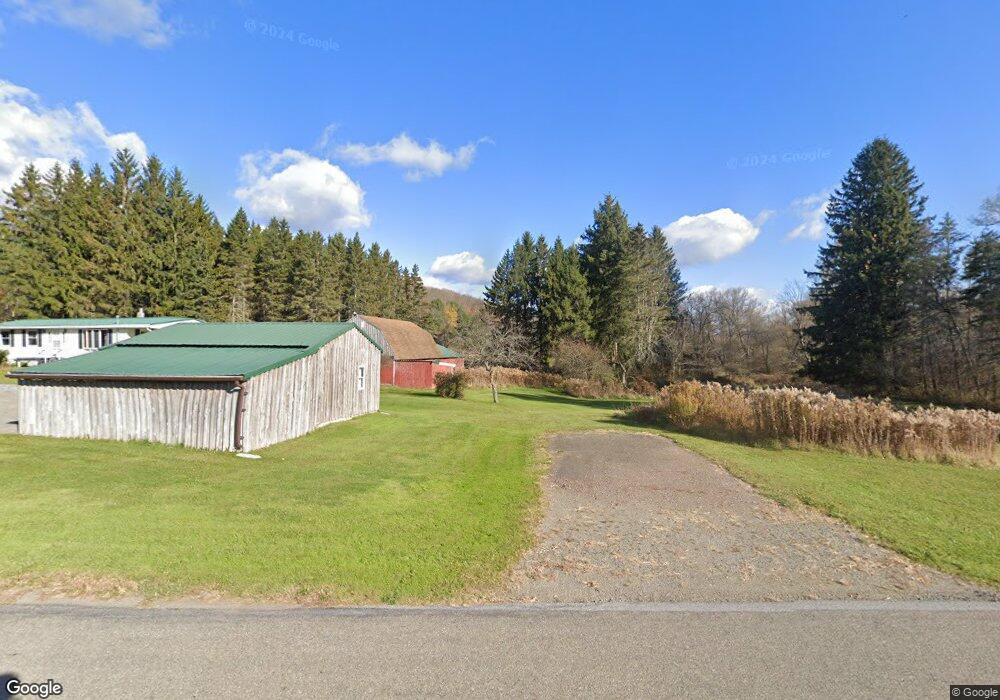
37 Round Top Rd Wellsboro, PA 16901
Estimated Value: $186,000 - $237,000
3
Beds
2
Baths
1,362
Sq Ft
$150/Sq Ft
Est. Value
About This Home
This home is located at 37 Round Top Rd, Wellsboro, PA 16901 and is currently estimated at $204,164, approximately $149 per square foot. 37 Round Top Rd is a home located in Tioga County with nearby schools including Charlotte Lappla Elementary School, Don Gill Elementary School, and Rock L. Butler Middle School.
Ownership History
Date
Name
Owned For
Owner Type
Purchase Details
Closed on
Oct 24, 2019
Sold by
Watkins Edward I and Watkins Iryna
Bought by
Watkins Edward L and Watkins Iryna
Current Estimated Value
Purchase Details
Closed on
Aug 31, 2017
Sold by
Huggler Walter J
Bought by
Watkins Edward L
Home Financials for this Owner
Home Financials are based on the most recent Mortgage that was taken out on this home.
Original Mortgage
$82,168
Outstanding Balance
$68,726
Interest Rate
3.96%
Mortgage Type
Seller Take Back
Estimated Equity
$135,438
Create a Home Valuation Report for This Property
The Home Valuation Report is an in-depth analysis detailing your home's value as well as a comparison with similar homes in the area
Home Values in the Area
Average Home Value in this Area
Purchase History
| Date | Buyer | Sale Price | Title Company |
|---|---|---|---|
| Watkins Edward L | -- | None Available | |
| Watkins Edward L | $107,168 | None Available |
Source: Public Records
Mortgage History
| Date | Status | Borrower | Loan Amount |
|---|---|---|---|
| Open | Watkins Edward L | $82,168 |
Source: Public Records
Tax History Compared to Growth
Tax History
| Year | Tax Paid | Tax Assessment Tax Assessment Total Assessment is a certain percentage of the fair market value that is determined by local assessors to be the total taxable value of land and additions on the property. | Land | Improvement |
|---|---|---|---|---|
| 2025 | $1,895 | $124,310 | $37,350 | $86,960 |
| 2024 | $2,926 | $124,310 | $37,350 | $86,960 |
| 2023 | $2,227 | $78,810 | $15,780 | $63,030 |
| 2022 | $2,228 | $78,810 | $15,780 | $63,030 |
| 2021 | $2,200 | $78,810 | $15,780 | $63,030 |
| 2020 | $2,202 | $78,810 | $15,780 | $63,030 |
| 2019 | $2,174 | $78,810 | $15,780 | $63,030 |
| 2018 | $2,163 | $78,810 | $15,780 | $63,030 |
| 2017 | -- | $78,800 | $15,770 | $63,030 |
| 2016 | $2,132 | $78,800 | $15,770 | $63,030 |
| 2015 | -- | $78,800 | $15,770 | $63,030 |
| 2014 | -- | $78,800 | $15,770 | $63,030 |
Source: Public Records
Map
Nearby Homes
- 511 Steam Mill Rd
- 138 Sweet Briar Rd
- 727 Buck Rd
- 2106 Dean Hill Rd
- 4618 Route 287
- 794 Welsh Rd
- 2064 Dean Hill Rd
- 75 Nickel Ln
- 311 Jackson Rd
- 75 Central Ave
- 0 Niles Rd
- 22 Woodland Ave
- - Stony Fork Rd
- 00 Stony Fork Rd
- 0 Broughton Hollow Rd
- 589 New Rd
- 72 East Ave
- 0 Charleston Road Williams Cir Unit 31722007
- 2 acres Charleston Rd
- 000 Charleston Rd
- 1 Shumway Hill Rd
- 1 Shumway Hill Rd
- 129 Round Top Rd
- 74 Round Top Rd
- 130 Round Top Rd
- 165 Round Top Rd
- 127 Shumway Hill Rd
- 2611 Antrim Rd
- 2547 Antrim Rd
- 2537 Antrim Rd
- 269 Round Top Rd
- 2934 Round Top Rd
- 2524 Antrim Rd
- 2509 Antrim Rd
- 236 Round Top Rd
- 203 Shumway Hill Rd
- 2432 Antrim Rd
- 328 Round Top Rd
- 2401 Antrim Rd
- 0 Rd#3 Maple Hille Rd