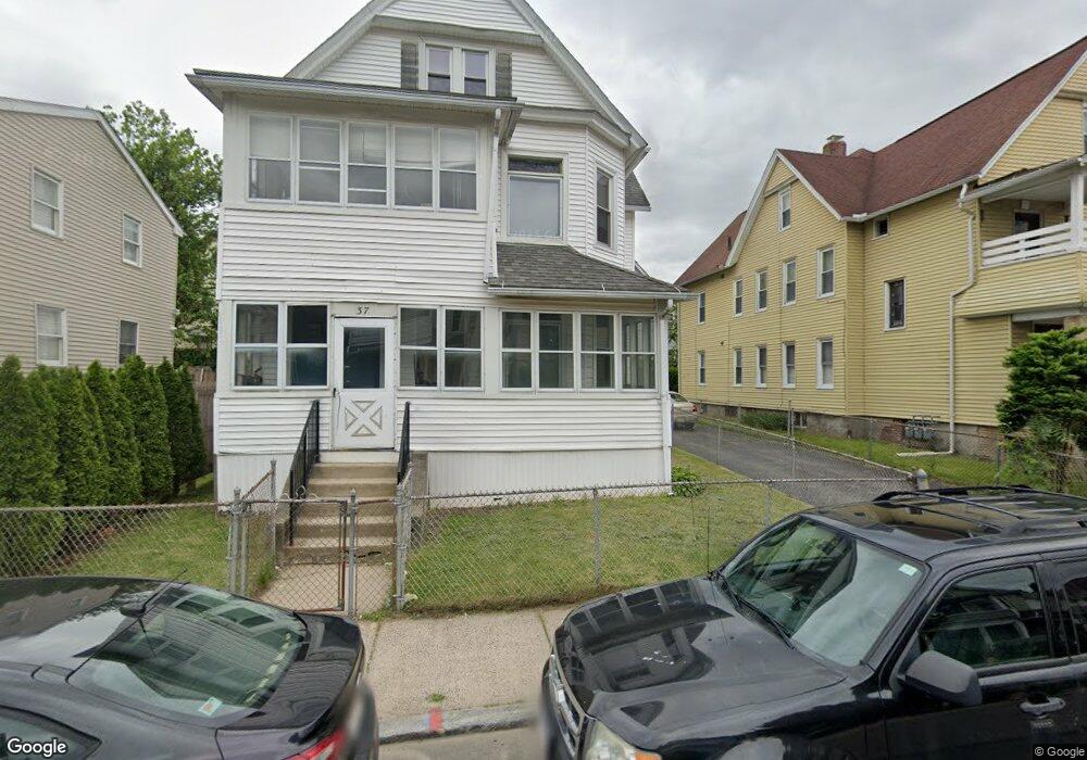
37 Rutledge Ave Springfield, MA 01105
South End NeighborhoodEstimated Value: $422,000 - $460,000
7
Beds
3
Baths
3,640
Sq Ft
$120/Sq Ft
Est. Value
About This Home
This home is located at 37 Rutledge Ave, Springfield, MA 01105 and is currently estimated at $437,000, approximately $120 per square foot. 37 Rutledge Ave is a home located in Hampden County with nearby schools including Daniel B Brunton, South End Middle School, and High School Of Commerce.
Ownership History
Date
Name
Owned For
Owner Type
Purchase Details
Closed on
Sep 14, 2015
Sold by
Matrango Anthony J
Bought by
Tisdell Laura F and Hightower Josephine J
Current Estimated Value
Purchase Details
Closed on
Aug 14, 2015
Sold by
Hightower Josephine J
Bought by
Matrango Anthony J and Tisdell Laura F
Create a Home Valuation Report for This Property
The Home Valuation Report is an in-depth analysis detailing your home's value as well as a comparison with similar homes in the area
Home Values in the Area
Average Home Value in this Area
Purchase History
| Date | Buyer | Sale Price | Title Company |
|---|---|---|---|
| Tisdell Laura F | -- | -- | |
| Matrango Anthony J | -- | -- |
Source: Public Records
Tax History
| Year | Tax Paid | Tax Assessment Tax Assessment Total Assessment is a certain percentage of the fair market value that is determined by local assessors to be the total taxable value of land and additions on the property. | Land | Improvement |
|---|---|---|---|---|
| 2025 | $5,413 | $345,200 | $24,100 | $321,100 |
| 2024 | $4,670 | $290,800 | $22,500 | $268,300 |
| 2023 | $3,797 | $222,700 | $21,400 | $201,300 |
| 2022 | $3,674 | $195,200 | $19,500 | $175,700 |
| 2021 | $3,383 | $179,000 | $17,700 | $161,300 |
| 2020 | $3,644 | $186,600 | $17,700 | $168,900 |
| 2019 | $3,206 | $162,900 | $17,700 | $145,200 |
| 2018 | $3,039 | $154,400 | $17,700 | $136,700 |
| 2017 | $2,921 | $148,600 | $15,600 | $133,000 |
| 2016 | $2,428 | $123,500 | $15,600 | $107,900 |
| 2015 | $2,447 | $124,400 | $15,600 | $108,800 |
Source: Public Records
Map
Nearby Homes
- 32 Wendell Place
- 20-22 Acushnet Ave
- 570-582 Main St
- 66 Palmer Ave
- 29 Warriner Ave
- 24 Adams St
- 82 Central St Unit 304
- 66 Central St Unit 404
- 64 Central St Unit 403
- 68 Central St Unit 405
- 41 Belmont Ave
- 50 Central St Unit 504
- 52 Central St Unit 504
- 270 Maple St
- 67 Fort Pleasant Ave
- 43-45 Leyfred Terrace
- 77 Fort Pleasant Ave
- 29 Leete St
- 61 Dexter St
- 10 Pine Street Ct
- 39 Rutledge Ave Unit 41
- 39-41 Rutledge Ave
- 31 Rutledge Ave
- 38 Acushnet Ave
- 38 Acushnet Ave Unit 3
- 38 Acushnet Ave Unit 1
- 38 Acushnet Ave Unit 2
- 45-47 Rutledge Ave
- 27 Rutledge Ave
- 45 Rutledge Ave Unit 47
- 42 Acushnet Ave
- 38 Rutledge Ave
- 28 Acushnet Ave
- 34 Rutledge Ave
- 48 Acushnet Ave Unit 50
- 48-50 Acushnet Ave
- 44 Rutledge Ave
- 48 -50 Acushnet Ave Unit 3
- 21 Rutledge Ave
- 49 Rutledge Ave Unit 51
Your Personal Tour Guide
Ask me questions while you tour the home.