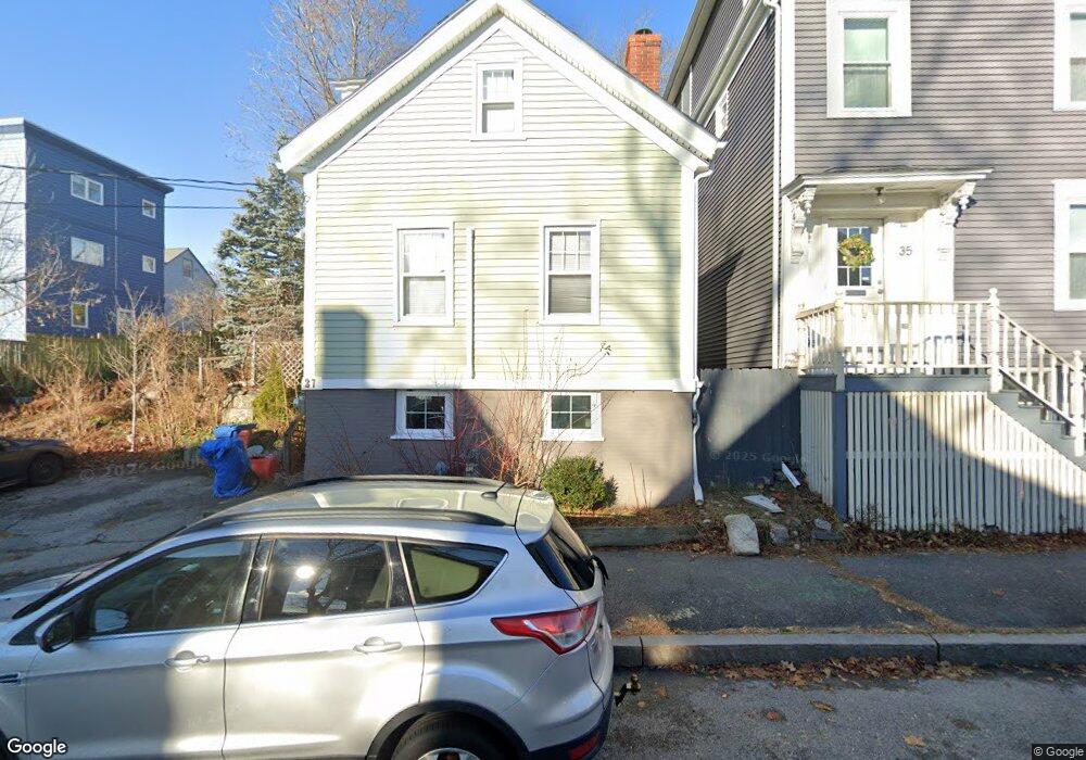
37 Salem St Portland, ME 04102
West End NeighborhoodEstimated Value: $455,000 - $549,000
2
Beds
1
Bath
1,192
Sq Ft
$435/Sq Ft
Est. Value
About This Home
This home is located at 37 Salem St, Portland, ME 04102 and is currently estimated at $518,266, approximately $434 per square foot. 37 Salem St is a home located in Cumberland County with nearby schools including Howard C. Reiche Community School, King Middle School, and Baxter Academy for Tech & Sciences.
Ownership History
Date
Name
Owned For
Owner Type
Purchase Details
Closed on
Sep 22, 2014
Sold by
Perazio Carolyn I
Bought by
Hengstenberg Derek W and Hunter Jennifer L
Current Estimated Value
Home Financials for this Owner
Home Financials are based on the most recent Mortgage that was taken out on this home.
Original Mortgage
$224,675
Outstanding Balance
$172,003
Interest Rate
4.14%
Mortgage Type
New Conventional
Estimated Equity
$346,263
Create a Home Valuation Report for This Property
The Home Valuation Report is an in-depth analysis detailing your home's value as well as a comparison with similar homes in the area
Home Values in the Area
Average Home Value in this Area
Purchase History
| Date | Buyer | Sale Price | Title Company |
|---|---|---|---|
| Hengstenberg Derek W | -- | -- |
Source: Public Records
Mortgage History
| Date | Status | Borrower | Loan Amount |
|---|---|---|---|
| Open | Hengstenberg Derek W | $224,675 |
Source: Public Records
Tax History Compared to Growth
Tax History
| Year | Tax Paid | Tax Assessment Tax Assessment Total Assessment is a certain percentage of the fair market value that is determined by local assessors to be the total taxable value of land and additions on the property. | Land | Improvement |
|---|---|---|---|---|
| 2024 | $6,822 | $454,500 | $302,500 | $152,000 |
| 2023 | $6,549 | $454,500 | $302,500 | $152,000 |
| 2022 | $6,186 | $454,500 | $302,500 | $152,000 |
| 2021 | $5,904 | $454,500 | $302,500 | $152,000 |
| 2020 | $4,354 | $186,800 | $121,600 | $65,200 |
| 2019 | $4,354 | $186,800 | $121,600 | $65,200 |
| 2018 | $4,044 | $186,800 | $121,600 | $65,200 |
| 2017 | $4,044 | $186,800 | $121,600 | $65,200 |
| 2016 | $3,943 | $186,800 | $121,600 | $65,200 |
| 2015 | $3,854 | $186,800 | $121,600 | $65,200 |
| 2014 | $3,978 | $198,900 | $133,700 | $65,200 |
Source: Public Records
Map
Nearby Homes
- 32 State St Unit 1
- 278 Spring St
- 16 Guilford Ct Unit 3B
- 73 Spruce St Unit 1
- 64 Pine St Unit 303
- 64 Pine St Unit 201
- 64 Pine St Unit 301
- 64 Pine St Unit 401
- 64 Pine St Unit 403
- 64 Pine St Unit 203
- 126 Winter St Unit 1
- 105 Pine St
- 93 Pine St
- 26 Thomas St Unit 7
- 25 High St Unit 214
- 25 High St Unit 408
- 30 Dow St
- 387 Commercial St Unit 710
- 6 Horton Place
- 129 Pine St Unit 2