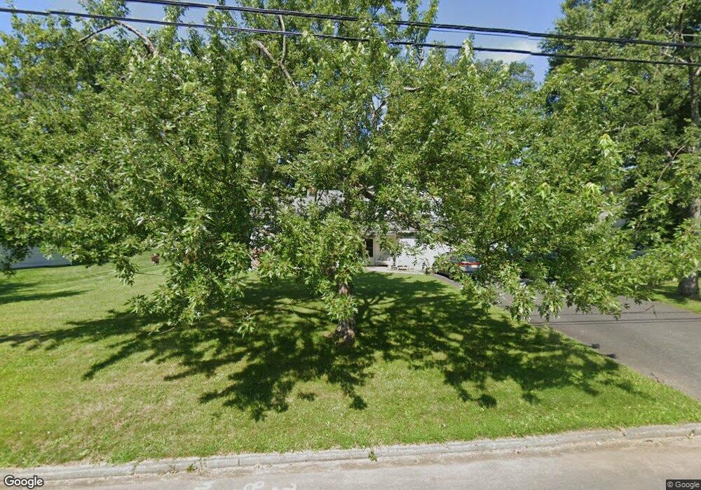
37 Shady Ln Bound Brook, NJ 08805
Estimated Value: $523,284 - $661,000
Studio
--
Bath
1,753
Sq Ft
$351/Sq Ft
Est. Value
About This Home
This home is located at 37 Shady Ln, Bound Brook, NJ 08805 and is currently estimated at $615,321, approximately $351 per square foot. 37 Shady Ln is a home located in Somerset County with nearby schools including Adamsville Primary School, Bridgewater-Raritan Middle School, and Hillside Intermediate School.
Ownership History
Date
Name
Owned For
Owner Type
Purchase Details
Closed on
Nov 14, 2016
Sold by
Depierro David and De Pierro Judy
Bought by
Deierro Judy
Current Estimated Value
Purchase Details
Closed on
Apr 20, 2001
Sold by
Mazyk Robert
Bought by
Depierro Dave and Depierro Judy
Home Financials for this Owner
Home Financials are based on the most recent Mortgage that was taken out on this home.
Original Mortgage
$166,037
Interest Rate
6.9%
Create a Home Valuation Report for This Property
The Home Valuation Report is an in-depth analysis detailing your home's value as well as a comparison with similar homes in the area
Home Values in the Area
Average Home Value in this Area
Purchase History
| Date | Buyer | Sale Price | Title Company |
|---|---|---|---|
| Deierro Judy | -- | None Available | |
| Depierro Dave | $251,000 | -- |
Source: Public Records
Mortgage History
| Date | Status | Borrower | Loan Amount |
|---|---|---|---|
| Previous Owner | Depierro Dave | $166,037 |
Source: Public Records
Tax History
| Year | Tax Paid | Tax Assessment Tax Assessment Total Assessment is a certain percentage of the fair market value that is determined by local assessors to be the total taxable value of land and additions on the property. | Land | Improvement |
|---|---|---|---|---|
| 2025 | $8,152 | $435,200 | $222,200 | $213,000 |
| 2024 | $8,152 | $413,600 | $222,200 | $191,400 |
| 2023 | $7,773 | $387,300 | $222,200 | $165,100 |
| 2022 | $7,501 | $359,600 | $217,200 | $142,400 |
| 2021 | $7,317 | $351,400 | $217,200 | $134,200 |
| 2020 | $7,301 | $343,100 | $217,200 | $125,900 |
| 2019 | $7,317 | $340,500 | $217,200 | $123,300 |
| 2018 | $7,197 | $335,700 | $217,200 | $118,500 |
| 2017 | $7,037 | $327,900 | $217,200 | $110,700 |
| 2016 | $6,927 | $327,500 | $217,200 | $110,300 |
| 2015 | $6,878 | $325,500 | $217,200 | $108,300 |
| 2014 | $6,770 | $315,600 | $217,200 | $98,400 |
Source: Public Records
Map
Nearby Homes
- 20 Hayward St
- 280 Metape Cir S
- 561 Marion St
- 553 Marion St
- 617 Vosseller Ave
- 705 Schoolhouse Ln
- 428 Helfin St
- 520 Winsor St
- 153 W Union Ave
- 610 Watchung Rd
- 28 W Union Ave
- 514 Longwood Ave
- 589 Mountain Ave
- 11 E Union Ave
- 418 Stratford Place
- 126 W High St
- 308 Church St
- 811 Mountain Ave
- 730 Park Ave
- 815 Miller Ln
Your Personal Tour Guide
Ask me questions while you tour the home.