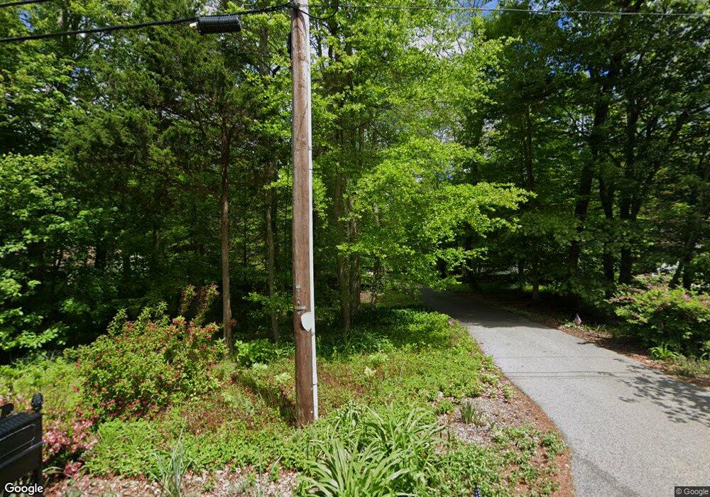
37 Silas Deane Rd Ledyard, CT 06339
Estimated Value: $551,000 - $716,000
3
Beds
3
Baths
2,142
Sq Ft
$311/Sq Ft
Est. Value
About This Home
This home is located at 37 Silas Deane Rd, Ledyard, CT 06339 and is currently estimated at $665,550, approximately $310 per square foot. 37 Silas Deane Rd is a home with nearby schools including Ledyard Middle School and Ledyard High School.
Ownership History
Date
Name
Owned For
Owner Type
Purchase Details
Closed on
Nov 6, 2020
Sold by
Capon J Anthony
Bought by
J Anthony Capon Jr Ret
Current Estimated Value
Purchase Details
Closed on
Jun 28, 2010
Sold by
Capon Joseph A
Bought by
Capon J Anthony and Capon Kathleen
Purchase Details
Closed on
Oct 25, 1973
Bought by
Capon J Anthony and Capon Kathleen
Create a Home Valuation Report for This Property
The Home Valuation Report is an in-depth analysis detailing your home's value as well as a comparison with similar homes in the area
Home Values in the Area
Average Home Value in this Area
Purchase History
| Date | Buyer | Sale Price | Title Company |
|---|---|---|---|
| J Anthony Capon Jr Ret | -- | None Available | |
| Kathleen B Capon Ret | -- | None Available | |
| Capon J Anthony J | -- | None Available | |
| Capon J Anthony | -- | -- | |
| Capon J Anthony | -- | -- |
Source: Public Records
Mortgage History
| Date | Status | Borrower | Loan Amount |
|---|---|---|---|
| Previous Owner | Capon J Anthony | $392,000 | |
| Previous Owner | Capon J Anthony | $403,000 |
Source: Public Records
Tax History Compared to Growth
Tax History
| Year | Tax Paid | Tax Assessment Tax Assessment Total Assessment is a certain percentage of the fair market value that is determined by local assessors to be the total taxable value of land and additions on the property. | Land | Improvement |
|---|---|---|---|---|
| 2025 | $11,165 | $300,630 | $62,420 | $238,210 |
| 2024 | $10,482 | $297,690 | $62,420 | $235,270 |
| 2023 | $10,503 | $303,910 | $68,640 | $235,270 |
| 2022 | $10,278 | $303,910 | $68,640 | $235,270 |
| 2021 | $10,211 | $303,910 | $68,640 | $235,270 |
| 2020 | $10,021 | $286,550 | $74,240 | $212,310 |
| 2019 | $10,046 | $286,550 | $74,240 | $212,310 |
| 2018 | $9,826 | $286,550 | $74,240 | $212,310 |
| 2017 | $9,324 | $286,550 | $74,240 | $212,310 |
| 2016 | $9,141 | $286,550 | $74,240 | $212,310 |
| 2015 | $8,711 | $286,550 | $74,240 | $212,310 |
| 2014 | $9,198 | $307,610 | $70,730 | $236,880 |
Source: Public Records
Map
Nearby Homes
- 5 Abbey Rd
- 16 Abbey Rd
- 14 Abbey Rd
- 116 Spicer Hill Rd
- 134 Iron St
- 155 Iron St
- 991 Shewville Rd
- 381 Route 2
- 16 Marlene Dr
- 669 Shewville Rd
- 20 Lakeside Dr Unit K
- 20 Lakeside Dr Unit P
- 48 Bittersweet Dr
- 6 Route 117
- 11 Willow Ln
- 104 Route 2a
- 115 Meeting House Ln
- 113 Meeting House Ln
- 7 Barn Rd
- 148 Gallup Hill Rd
- 35 Silas Deane Rd
- 41 Silas Deane Rd
- 43 Silas Deane Rd
- 47 Silas Deane Rd
- 27 Silas Deane Rd
- 34 Silas Deane Rd
- 36 Silas Deane Rd
- 49 Silas Deane Rd
- 28 Silas Deane Rd
- 42 Silas Deane Rd
- 53 Silas Deane Rd
- 23 Silas Deane Rd
- 76 Church Hill Rd
- 46 Silas Deane Rd
- 20 Silas Deane Rd
- 8 Wicklow Turn
- 55 Silas Deane Rd
- 6 Wicklow Turn
- 52 Silas Deane Rd
- 17 Silas Deane Rd
