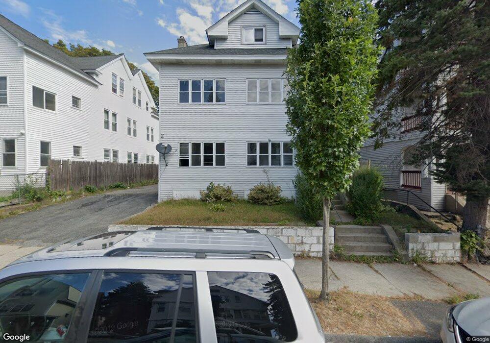
37 Stoneland Rd Unit 1,2 Worcester, MA 01603
University Park NeighborhoodEstimated Value: $518,379 - $673,000
2
Beds
1
Bath
1,000
Sq Ft
$614/Sq Ft
Est. Value
About This Home
This home is located at 37 Stoneland Rd Unit 1,2, Worcester, MA 01603 and is currently estimated at $614,345, approximately $614 per square foot. 37 Stoneland Rd Unit 1,2 is a home located in Worcester County with nearby schools including Goddard School of Science & Technology, Jacob Hiatt Magnet School, and Chandler Magnet.
Ownership History
Date
Name
Owned For
Owner Type
Purchase Details
Closed on
May 2, 2007
Sold by
Zack Mary Susan and Zack Robert J
Bought by
Komo Sampson
Current Estimated Value
Home Financials for this Owner
Home Financials are based on the most recent Mortgage that was taken out on this home.
Original Mortgage
$270,000
Outstanding Balance
$164,770
Interest Rate
6.23%
Mortgage Type
Purchase Money Mortgage
Estimated Equity
$449,575
Create a Home Valuation Report for This Property
The Home Valuation Report is an in-depth analysis detailing your home's value as well as a comparison with similar homes in the area
Home Values in the Area
Average Home Value in this Area
Purchase History
| Date | Buyer | Sale Price | Title Company |
|---|---|---|---|
| Komo Sampson | $270,000 | -- |
Source: Public Records
Mortgage History
| Date | Status | Borrower | Loan Amount |
|---|---|---|---|
| Open | Komo Sampson | $270,000 |
Source: Public Records
Tax History Compared to Growth
Tax History
| Year | Tax Paid | Tax Assessment Tax Assessment Total Assessment is a certain percentage of the fair market value that is determined by local assessors to be the total taxable value of land and additions on the property. | Land | Improvement |
|---|---|---|---|---|
| 2025 | $7,177 | $544,100 | $81,700 | $462,400 |
| 2024 | $6,989 | $508,300 | $81,700 | $426,600 |
| 2023 | $6,475 | $451,500 | $71,100 | $380,400 |
| 2022 | $5,833 | $383,500 | $56,900 | $326,600 |
| 2021 | $4,757 | $292,200 | $45,500 | $246,700 |
| 2020 | $4,452 | $261,900 | $45,200 | $216,700 |
| 2019 | $4,043 | $224,600 | $39,400 | $185,200 |
| 2018 | $4,103 | $217,000 | $39,400 | $177,600 |
| 2017 | $3,890 | $202,400 | $39,400 | $163,000 |
| 2016 | $3,790 | $183,900 | $28,500 | $155,400 |
| 2015 | $3,691 | $183,900 | $28,500 | $155,400 |
| 2014 | $3,593 | $183,900 | $28,500 | $155,400 |
Source: Public Records
Map
Nearby Homes
- 54 Richards St
- 56 Richards St
- 52 Richards St
- 141 Cambridge St
- 21 Hitchcock Rd
- 12 Stoneland Rd
- 103 Illinois St
- 5 Stoneland Rd
- 27 Haynes St
- 26 Haynes St Unit 1
- 160 Fremont St Unit 239
- 160 Fremont St Unit 204
- 1022 Main St
- 24 Litchfield St
- 180 Canterbury St
- 44 Litchfield St
- 21 Illinois St Unit 508
- 69 Hollis St
- 24 Grand St
- 315 Cambridge St Unit 302A
- 37 Stoneland Rd
- 39 Stoneland Rd
- 39 Stoneland Rd Unit 3
- 35 Stoneland Rd
- 35 Stoneland Rd Unit 3
- 35 Stoneland Rd Unit 1
- 41 Stoneland Rd
- 33 Stoneland Rd
- 46 Tirrell St
- 50 Tirrell St
- 31 Stoneland Rd
- 40 Freeland St
- 40 Freeland St Unit 2
- 38 Stoneland Rd
- 36 Stoneland Rd
- 42 Freeland St
- 34 Stoneland Rd
- 34 Stoneland Rd Unit 3
- 42 Stoneland Rd
- 29 Stoneland Rd