37 Swing About Hilton Head Island, SC 29928
Palmetto Dunes NeighborhoodEstimated Value: $1,179,619 - $1,396,000
4
Beds
3
Baths
2,592
Sq Ft
$500/Sq Ft
Est. Value
About This Home
This home is located at 37 Swing About, Hilton Head Island, SC 29928 and is currently estimated at $1,296,405, approximately $500 per square foot. 37 Swing About is a home located in Beaufort County with nearby schools including Hilton Head Island Early Childhood Center, Hilton Head Island Elementary School, and Hilton Head Island Middle School.
Ownership History
Date
Name
Owned For
Owner Type
Purchase Details
Closed on
Nov 23, 2021
Sold by
Schwartz Robb and Schwartz Penny
Bought by
37 Palmetto Dunes Llc
Current Estimated Value
Purchase Details
Closed on
May 20, 2021
Sold by
Walston Keith W and Walston Laura L
Bought by
Schwartz Robb and Schwartz Penny
Home Financials for this Owner
Home Financials are based on the most recent Mortgage that was taken out on this home.
Original Mortgage
$548,000
Interest Rate
3.1%
Mortgage Type
New Conventional
Purchase Details
Closed on
Jul 26, 2010
Sold by
Walston Laura L
Bought by
Walston Keith W and Walston Laura L
Home Financials for this Owner
Home Financials are based on the most recent Mortgage that was taken out on this home.
Original Mortgage
$476,000
Interest Rate
4.74%
Mortgage Type
New Conventional
Purchase Details
Closed on
Nov 3, 2005
Sold by
Walston Keith W
Bought by
Walston Laura L
Create a Home Valuation Report for This Property
The Home Valuation Report is an in-depth analysis detailing your home's value as well as a comparison with similar homes in the area
Home Values in the Area
Average Home Value in this Area
Purchase History
| Date | Buyer | Sale Price | Title Company |
|---|---|---|---|
| 37 Palmetto Dunes Llc | -- | None Available | |
| Schwartz Robb | $770,000 | None Available | |
| Walston Keith W | -- | -- | |
| Walston Laura L | -- | None Available |
Source: Public Records
Mortgage History
| Date | Status | Borrower | Loan Amount |
|---|---|---|---|
| Previous Owner | Schwartz Robb | $548,000 | |
| Previous Owner | Walston Keith W | $476,000 |
Source: Public Records
Tax History Compared to Growth
Tax History
| Year | Tax Paid | Tax Assessment Tax Assessment Total Assessment is a certain percentage of the fair market value that is determined by local assessors to be the total taxable value of land and additions on the property. | Land | Improvement |
|---|---|---|---|---|
| 2024 | $14,164 | $55,070 | $0 | $0 |
| 2023 | $14,026 | $55,070 | $0 | $0 |
| 2022 | $12,283 | $46,200 | $0 | $0 |
| 2021 | $2,781 | $18,120 | $0 | $0 |
| 2020 | $2,770 | $21,128 | $11,200 | $9,928 |
| 2019 | $2,603 | $21,128 | $11,200 | $9,928 |
| 2018 | $2,552 | $18,120 | $0 | $0 |
| 2017 | $2,260 | $15,760 | $0 | $0 |
| 2016 | $2,087 | $15,760 | $0 | $0 |
| 2014 | $2,320 | $15,760 | $0 | $0 |
Source: Public Records
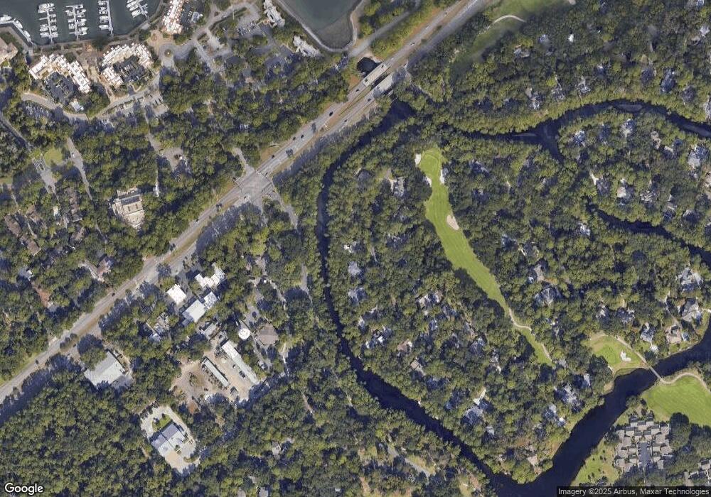
Map
Nearby Homes
- 19 Shelter Cove Ln Unit 207
- 13 Harbourside Ln Unit 7170
- 13 Harbourside Ln Unit 7165
- 13 Harbourside Ln Unit 7154
- 20 Queens Folly Rd Unit 1782
- 20 Queens Folly Rd Unit 1667
- 20 Queens Folly Rd Unit 1981
- 20 Queens Folly Rd Unit 1661
- 20 Queens Folly Rd Unit 1677
- 20 Queens Folly Rd Unit 1863
- 20 Tradewinds Trace Unit 4
- 9 Harbourside Ln Unit 7330C
- 9 Harbourside Ln Unit 7302B
- 9 Harbourside Ln Unit 7327B
- 9 Harbourside Ln Unit 7338B
- 9 Harbourside Ln Unit 7338A
- 10 Newport Dr Unit 3302
- 12 Brittany Place Dr Unit 12
- 5 Newport Dr Unit 2200
- 5 Newport Dr Unit 2105