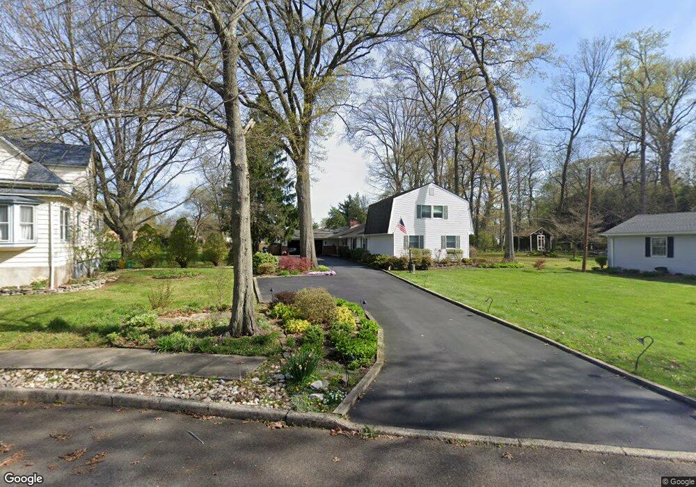
37 Thomas Ave Maple Shade, NJ 08052
Estimated Value: $361,000 - $621,000
Studio
--
Bath
2,400
Sq Ft
$193/Sq Ft
Est. Value
About This Home
This home is located at 37 Thomas Ave, Maple Shade, NJ 08052 and is currently estimated at $462,501, approximately $192 per square foot. 37 Thomas Ave is a home located in Burlington County with nearby schools including Maude M. Wilkins Elementary School, Ralph J Steinhauer Elementary School, and Howard R Yocum School.
Ownership History
Date
Name
Owned For
Owner Type
Purchase Details
Closed on
May 17, 1989
Bought by
Wiest Leroy and Wiest Joan
Current Estimated Value
Create a Home Valuation Report for This Property
The Home Valuation Report is an in-depth analysis detailing your home's value as well as a comparison with similar homes in the area
Home Values in the Area
Average Home Value in this Area
Purchase History
| Date | Buyer | Sale Price | Title Company |
|---|---|---|---|
| Wiest Leroy | $150,000 | -- |
Source: Public Records
Tax History
| Year | Tax Paid | Tax Assessment Tax Assessment Total Assessment is a certain percentage of the fair market value that is determined by local assessors to be the total taxable value of land and additions on the property. | Land | Improvement |
|---|---|---|---|---|
| 2025 | $10,226 | $269,400 | $64,300 | $205,100 |
| 2024 | $9,930 | $269,400 | $64,300 | $205,100 |
| 2023 | $9,930 | $269,400 | $64,300 | $205,100 |
| 2022 | $9,777 | $269,400 | $64,300 | $205,100 |
| 2021 | $8,904 | $269,400 | $64,300 | $205,100 |
| 2020 | $9,709 | $269,400 | $64,300 | $205,100 |
| 2019 | $9,354 | $269,400 | $64,300 | $205,100 |
| 2018 | $9,192 | $269,400 | $64,300 | $205,100 |
| 2017 | $8,834 | $269,400 | $64,300 | $205,100 |
| 2016 | $8,699 | $269,400 | $64,300 | $205,100 |
| 2015 | $8,506 | $269,400 | $64,300 | $205,100 |
| 2014 | $8,239 | $269,400 | $64,300 | $205,100 |
Source: Public Records
Map
Nearby Homes
- 47 S Lippincott Ave
- 57 S Terrace Ave
- 66 W Center Ave
- 61 S Maple Ave
- 206 S Maple Ave
- 42 Spruce Ave
- 22 Theodore Ave
- 12 Overbrook Ave
- 452 Elm Ave
- 2 Wyndale Ave
- 21 Paul Rd
- 9 Woodbine Ave
- 11 Rose Ave
- 44 S Pine Ave
- 5 Paul Rd
- 207 E Park Ave
- 15 S Pine Ave
- 400 N Forklanding Rd
- 411 A3 Stiles Ave Unit A-3
- 411 C12 Stiles Ave Unit C-12
Your Personal Tour Guide
Ask me questions while you tour the home.