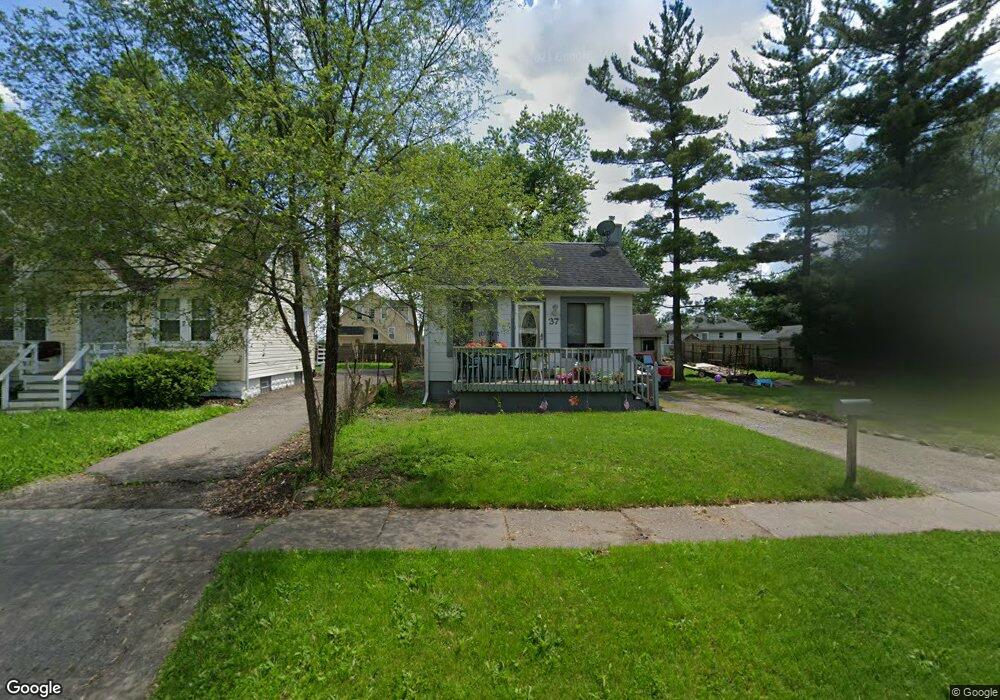
37 W Beverly Ave Pontiac, MI 48340
Estimated Value: $70,448 - $140,000
2
Beds
1
Bath
663
Sq Ft
$143/Sq Ft
Est. Value
About This Home
This home is located at 37 W Beverly Ave, Pontiac, MI 48340 and is currently estimated at $95,112, approximately $143 per square foot. 37 W Beverly Ave is a home located in Oakland County with nearby schools including Owen Elementary School, Pontiac Middle School, and Pontiac High School.
Ownership History
Date
Name
Owned For
Owner Type
Purchase Details
Closed on
Sep 9, 2016
Sold by
Mellendorf Dolores Ann
Bought by
Vista Group Llc
Current Estimated Value
Purchase Details
Closed on
Nov 17, 2009
Sold by
Secretary Of Housing & Urban Development
Bought by
Mellendore Jerold
Purchase Details
Closed on
Aug 13, 2008
Sold by
Citimortgage Inc
Bought by
Secretary Of Housing & Urban Development
Purchase Details
Closed on
Feb 12, 2008
Sold by
Bonds Freddie
Bought by
Citimortgage Inc
Purchase Details
Closed on
Jul 28, 2000
Sold by
Osterkamp Henry F
Bought by
Stafford Dale P
Create a Home Valuation Report for This Property
The Home Valuation Report is an in-depth analysis detailing your home's value as well as a comparison with similar homes in the area
Home Values in the Area
Average Home Value in this Area
Purchase History
| Date | Buyer | Sale Price | Title Company |
|---|---|---|---|
| Vista Group Llc | -- | None Available | |
| Mellendore Jerold | $2,500 | None Available | |
| Secretary Of Housing & Urban Development | -- | None Available | |
| Citimortgage Inc | $80,220 | None Available | |
| Stafford Dale P | $30,000 | -- |
Source: Public Records
Tax History Compared to Growth
Tax History
| Year | Tax Paid | Tax Assessment Tax Assessment Total Assessment is a certain percentage of the fair market value that is determined by local assessors to be the total taxable value of land and additions on the property. | Land | Improvement |
|---|---|---|---|---|
| 2024 | $832 | $28,760 | $0 | $0 |
| 2023 | $792 | $26,040 | $0 | $0 |
| 2022 | $828 | $22,800 | $0 | $0 |
| 2021 | $805 | $19,170 | $0 | $0 |
| 2020 | $721 | $17,080 | $0 | $0 |
| 2019 | $773 | $14,910 | $0 | $0 |
| 2018 | $739 | $13,200 | $0 | $0 |
| 2017 | $910 | $12,340 | $0 | $0 |
| 2016 | $634 | $10,770 | $0 | $0 |
| 2015 | -- | $10,570 | $0 | $0 |
| 2014 | -- | $10,210 | $0 | $0 |
| 2011 | -- | $13,990 | $0 | $0 |
Source: Public Records
Map
Nearby Homes
- 33 W Beverly Ave
- 110 W Tennyson Ave
- 18 E 18 E Rutgers Ave
- 109 W Kennett Rd
- 119 W Kennett Rd
- 137 Dresden Ave
- 134 W Fairmount Ave
- 998 Dewey St
- 117 W Strathmore Ave
- 112 W Strathmore Ave
- 141 Parkdale Ave
- 236 W Cornell Ave
- 0 S Merrimac St Unit 20250035082
- 201 Parkdale Ave
- 207 W Strathmore Ave
- 255 W Rutgers Ave
- 240 W Fairmount Ave
- 216 W Longfellow Ave
- 240 W Longfellow Ave
- 1153 Stanley Ave
- 29 W Beverly Ave
- 40 W Tennyson Ave
- 32 W Tennyson Ave
- 24 W Tennyson Ave
- 48 W Tennyson Ave
- 57 W Beverly Ave
- 36 W Beverly Ave
- 32 W Beverly Ave
- 56 W Tennyson Ave
- 44 W Beverly Ave
- 989 Baldwin Ave
- 24 W Beverly Ave
- 48 W Beverly Ave
- 20 W Beverly Ave
- 61 W Beverly Ave
- 981 Baldwin Ave
- 60 W Tennyson Ave
- 975 Baldwin Ave
- 52 W Beverly Ave