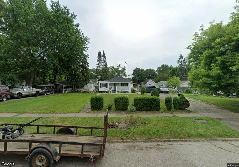
37 W Cornell Ave Pontiac, MI 48340
Estimated Value: $113,569 - $139,000
3
Beds
2
Baths
1,060
Sq Ft
$121/Sq Ft
Est. Value
About This Home
This home is located at 37 W Cornell Ave, Pontiac, MI 48340 and is currently estimated at $128,642, approximately $121 per square foot. 37 W Cornell Ave is a home located in Oakland County with nearby schools including Owen Elementary School, Pontiac Middle School, and Pontiac High School.
Ownership History
Date
Name
Owned For
Owner Type
Purchase Details
Closed on
May 18, 2009
Sold by
Quinones Janet Cuadrado and Silra Luis
Bought by
Trinidad Alex M
Current Estimated Value
Purchase Details
Closed on
Apr 6, 2009
Sold by
Federal National Mortgage Association
Bought by
Silva Luis and Cuadrado Quinones Janet
Purchase Details
Closed on
Oct 10, 2008
Sold by
Bank Of America Na
Bought by
Federal National Mortgage Association
Purchase Details
Closed on
Oct 7, 2008
Sold by
Acosta Ernesto A
Bought by
Bank Of America Na
Purchase Details
Closed on
May 26, 1998
Sold by
Hill Damon
Bought by
Acosta Ernesto A
Create a Home Valuation Report for This Property
The Home Valuation Report is an in-depth analysis detailing your home's value as well as a comparison with similar homes in the area
Home Values in the Area
Average Home Value in this Area
Purchase History
| Date | Buyer | Sale Price | Title Company |
|---|---|---|---|
| Trinidad Alex M | -- | None Available | |
| Silva Luis | $3,650 | Warranty Title Agency Llc | |
| Federal National Mortgage Association | -- | None Available | |
| Bank Of America Na | $42,905 | None Available | |
| Acosta Ernesto A | $49,000 | -- |
Source: Public Records
Tax History Compared to Growth
Tax History
| Year | Tax Paid | Tax Assessment Tax Assessment Total Assessment is a certain percentage of the fair market value that is determined by local assessors to be the total taxable value of land and additions on the property. | Land | Improvement |
|---|---|---|---|---|
| 2024 | $541 | $36,860 | $0 | $0 |
| 2023 | $516 | $32,460 | $0 | $0 |
| 2022 | $564 | $28,570 | $0 | $0 |
| 2021 | $549 | $24,330 | $0 | $0 |
| 2020 | $469 | $21,160 | $0 | $0 |
| 2019 | $525 | $18,510 | $0 | $0 |
| 2018 | $496 | $15,650 | $0 | $0 |
| 2017 | $528 | $16,860 | $0 | $0 |
| 2016 | $555 | $14,830 | $0 | $0 |
| 2015 | -- | $14,490 | $0 | $0 |
| 2014 | -- | $13,870 | $0 | $0 |
| 2011 | -- | $17,660 | $0 | $0 |
Source: Public Records
Map
Nearby Homes
- 33 W Beverly Ave
- 110 W Tennyson Ave
- 18 E 18 E Rutgers Ave
- 109 W Kennett Rd
- 119 W Kennett Rd
- 134 W Fairmount Ave
- 117 W Strathmore Ave
- 998 Dewey St
- 112 W Strathmore Ave
- 137 Dresden Ave
- 141 Parkdale Ave
- 236 W Cornell Ave
- 207 W Strathmore Ave
- 255 W Rutgers Ave
- 201 Parkdale Ave
- 240 W Fairmount Ave
- 0 S Merrimac St Unit 20250035082
- 216 W Longfellow Ave
- 240 W Longfellow Ave
- 1153 Stanley Ave
- 45 W Cornell
- 33 W Cornell Ave
- 36 W Beverly Ave
- 44 W Beverly Ave
- 29 W Cornell Ave
- 25 W Cornell Ave
- 48 W Beverly Ave
- 49 W Cornell Ave
- 32 W Beverly Ave
- 53 W Cornell Ave
- 21 W Cornell Ave
- 52 W Beverly Ave
- 24 W Beverly Ave
- 61 W Cornell Ave
- 28 W Cornell Ave
- 44 W Cornell Ave
- 60 W Beverly Ave
- 20 W Beverly Ave
- 52 W Cornell Ave
- 40 W Cornell Ave