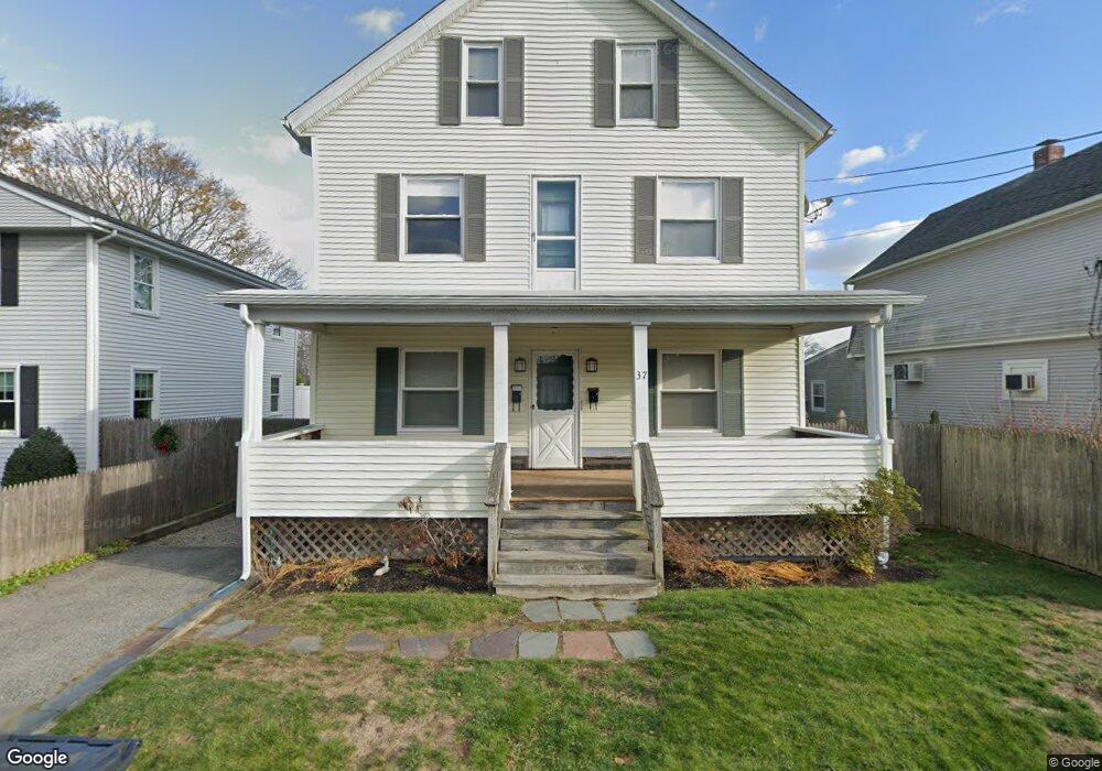
37 Wendell St Riverside, RI 02915
Riverside NeighborhoodEstimated Value: $440,051 - $554,000
4
Beds
2
Baths
2,352
Sq Ft
$211/Sq Ft
Est. Value
About This Home
This home is located at 37 Wendell St, Riverside, RI 02915 and is currently estimated at $497,263, approximately $211 per square foot. 37 Wendell St is a home located in Providence County with nearby schools including East Providence High School, St Mary Academy-Bay View, and The Gordon School.
Ownership History
Date
Name
Owned For
Owner Type
Purchase Details
Closed on
May 2, 1994
Sold by
Devall Frank A
Bought by
Quattrucci Lawrence and Balasco Anthony F
Current Estimated Value
Home Financials for this Owner
Home Financials are based on the most recent Mortgage that was taken out on this home.
Original Mortgage
$112,200
Interest Rate
7.7%
Mortgage Type
Purchase Money Mortgage
Create a Home Valuation Report for This Property
The Home Valuation Report is an in-depth analysis detailing your home's value as well as a comparison with similar homes in the area
Home Values in the Area
Average Home Value in this Area
Purchase History
| Date | Buyer | Sale Price | Title Company |
|---|---|---|---|
| Quattrucci Lawrence | $110,000 | -- | |
| Quattrucci Lawrence | $110,000 | -- |
Source: Public Records
Mortgage History
| Date | Status | Borrower | Loan Amount |
|---|---|---|---|
| Open | Quattrucci Lawrence | $60,000 | |
| Open | Quattrucci Lawrence | $106,000 | |
| Closed | Quattrucci Lawrence | $106,100 | |
| Closed | Quattrucci Lawrence | $112,200 |
Source: Public Records
Tax History
| Year | Tax Paid | Tax Assessment Tax Assessment Total Assessment is a certain percentage of the fair market value that is determined by local assessors to be the total taxable value of land and additions on the property. | Land | Improvement |
|---|---|---|---|---|
| 2025 | $5,616 | $429,700 | $81,800 | $347,900 |
| 2024 | $5,661 | $369,300 | $68,100 | $301,200 |
| 2023 | $5,432 | $368,000 | $68,100 | $299,900 |
| 2022 | $5,432 | $248,500 | $41,700 | $206,800 |
| 2021 | $5,343 | $248,500 | $41,700 | $206,800 |
| 2020 | $5,117 | $248,500 | $41,700 | $206,800 |
| 2019 | $4,975 | $248,500 | $41,700 | $206,800 |
| 2018 | $4,754 | $207,800 | $44,700 | $163,100 |
| 2017 | $4,648 | $207,800 | $44,700 | $163,100 |
| 2016 | $4,626 | $207,800 | $44,700 | $163,100 |
| 2015 | $4,216 | $183,700 | $43,700 | $140,000 |
| 2014 | $4,216 | $183,700 | $43,700 | $140,000 |
Source: Public Records
Map
Nearby Homes
- 151 Willett Ave Unit 2
- 25 Arnold St
- 43 Bullocks Point Ave Unit 4A
- 25 Bullocks Point Ave Unit 5C
- 33 Bullocks Point Ave Unit 5C
- 6 Fuller Ave
- 103 Burnside Ave
- 28 Jefferson Ave
- 33 Pine St Unit 35
- 25 Winslow St
- 72 Stowe Ave
- 129 Shore Rd
- 14 Benedict St
- 14 Winthrop St
- 41 White Ave
- 2941 Pawtucket Ave
- 15 Claire St
- 10 Booth Ave
- 42 Mountain Ave
- 85 Hilton Ave
Your Personal Tour Guide
Ask me questions while you tour the home.