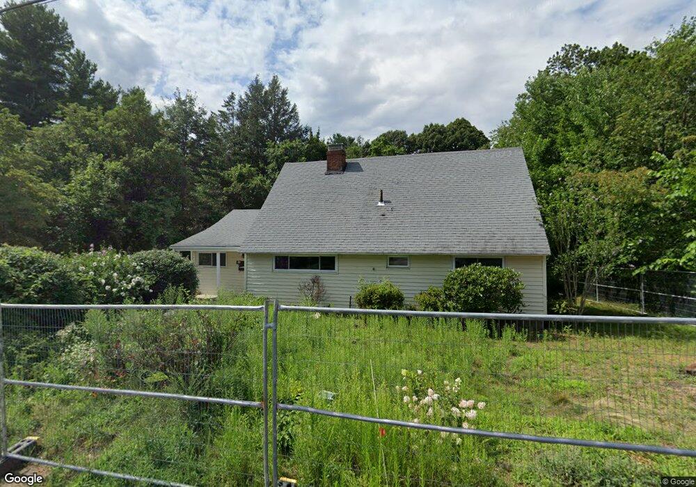
37 Winslow Rd Reading, MA 01867
Estimated Value: $1,576,000 - $1,699,000
4
Beds
3
Baths
3,933
Sq Ft
$417/Sq Ft
Est. Value
About This Home
This home is located at 37 Winslow Rd, Reading, MA 01867 and is currently estimated at $1,639,109, approximately $416 per square foot. 37 Winslow Rd is a home located in Middlesex County with nearby schools including Alice M. Barrows Elementary School, Walter S. Parker Middle School, and Reading Memorial High School.
Ownership History
Date
Name
Owned For
Owner Type
Purchase Details
Closed on
Feb 6, 2013
Sold by
Canada Janet I and Canada Nancy J
Bought by
Canada Janet I and Canada Nancy J
Current Estimated Value
Purchase Details
Closed on
Jun 27, 1980
Bought by
Canada Janet I and Canada Nancy J
Create a Home Valuation Report for This Property
The Home Valuation Report is an in-depth analysis detailing your home's value as well as a comparison with similar homes in the area
Home Values in the Area
Average Home Value in this Area
Purchase History
| Date | Buyer | Sale Price | Title Company |
|---|---|---|---|
| Canada Janet I | -- | -- | |
| Canada Janet I | $64,500 | -- |
Source: Public Records
Mortgage History
| Date | Status | Borrower | Loan Amount |
|---|---|---|---|
| Previous Owner | Canada Janet I | $15,000 | |
| Previous Owner | Canada Janet I | $120,000 | |
| Previous Owner | Canada Janet I | $17,949 |
Source: Public Records
Tax History Compared to Growth
Tax History
| Year | Tax Paid | Tax Assessment Tax Assessment Total Assessment is a certain percentage of the fair market value that is determined by local assessors to be the total taxable value of land and additions on the property. | Land | Improvement |
|---|---|---|---|---|
| 2025 | $13,994 | $1,228,600 | $522,800 | $705,800 |
| 2024 | $8,854 | $755,500 | $502,300 | $253,200 |
| 2023 | $8,578 | $681,300 | $452,900 | $228,400 |
| 2022 | $8,257 | $619,400 | $411,700 | $207,700 |
| 2021 | $8,115 | $587,600 | $394,500 | $193,100 |
| 2020 | $7,801 | $559,200 | $375,400 | $183,800 |
| 2019 | $16,407 | $532,700 | $357,600 | $175,100 |
| 2018 | $5,918 | $502,400 | $337,200 | $165,200 |
| 2017 | $6,650 | $474,000 | $318,100 | $155,900 |
| 2016 | $6,236 | $430,100 | $287,300 | $142,800 |
| 2015 | $6,021 | $409,600 | $273,600 | $136,000 |
| 2014 | $5,616 | $381,000 | $254,500 | $126,500 |
Source: Public Records
Map
Nearby Homes
- 101 King St Unit 101
- 16 Munroe Ave
- 16 Glen Rd
- 16 Taylor Dr Unit 1010
- 16 Taylor Dr Unit 1009
- 25 Woodward Ave
- 103 High St
- 77 Mount Vernon St
- 2 Inwood Dr Unit 1010
- 35 Park Ave
- 133 Pine Ridge Rd
- 3 Bradford Rd
- 99 Grove St
- 75 Border Rd
- 1 Charles St Unit N
- 856 Main St
- 246 Walnut St
- 44 Grandview Rd
- 863 Main St
- 28 Martin Rd