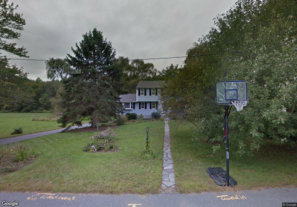
37 Wright Rd Sudbury, MA 01776
Estimated Value: $833,000 - $1,334,000
4
Beds
3
Baths
2,224
Sq Ft
$458/Sq Ft
Est. Value
About This Home
This home is located at 37 Wright Rd, Sudbury, MA 01776 and is currently estimated at $1,018,840, approximately $458 per square foot. 37 Wright Rd is a home located in Middlesex County with nearby schools including Israel Loring Elementary School, Ephraim Curtis Middle School, and Lincoln-Sudbury Regional High School.
Ownership History
Date
Name
Owned For
Owner Type
Purchase Details
Closed on
Nov 30, 1992
Sold by
Mcwalter Michael F and Mcwalter Anne M
Bought by
Ehrmann Jonathan S and Ehrmann Debra D
Current Estimated Value
Home Financials for this Owner
Home Financials are based on the most recent Mortgage that was taken out on this home.
Original Mortgage
$202,300
Interest Rate
8.06%
Mortgage Type
Purchase Money Mortgage
Create a Home Valuation Report for This Property
The Home Valuation Report is an in-depth analysis detailing your home's value as well as a comparison with similar homes in the area
Home Values in the Area
Average Home Value in this Area
Purchase History
| Date | Buyer | Sale Price | Title Company |
|---|---|---|---|
| Ehrmann Jonathan S | $285,000 | -- | |
| Ehrmann Jonathan S | $285,000 | -- |
Source: Public Records
Mortgage History
| Date | Status | Borrower | Loan Amount |
|---|---|---|---|
| Open | Ehrmann Jonathan S | $50,000 | |
| Closed | Ehrmann Jonathan S | $200,000 | |
| Closed | Ehrmann Jonathan S | $202,300 |
Source: Public Records
Tax History
| Year | Tax Paid | Tax Assessment Tax Assessment Total Assessment is a certain percentage of the fair market value that is determined by local assessors to be the total taxable value of land and additions on the property. | Land | Improvement |
|---|---|---|---|---|
| 2025 | $12,394 | $846,600 | $438,900 | $407,700 |
| 2024 | $11,960 | $818,600 | $426,100 | $392,500 |
| 2023 | $11,416 | $723,900 | $394,500 | $329,400 |
| 2022 | $11,474 | $635,700 | $362,100 | $273,600 |
| 2021 | $11,159 | $592,600 | $362,100 | $230,500 |
| 2020 | $10,933 | $592,600 | $362,100 | $230,500 |
| 2019 | $10,613 | $592,600 | $362,100 | $230,500 |
| 2018 | $10,704 | $597,000 | $386,100 | $210,900 |
| 2017 | $10,224 | $576,300 | $367,300 | $209,000 |
| 2016 | $9,904 | $556,400 | $353,300 | $203,100 |
| 2015 | $9,245 | $525,300 | $326,100 | $199,200 |
| 2014 | $9,228 | $511,800 | $316,500 | $195,300 |
Source: Public Records
Map
Nearby Homes
- 4 Maple Ave
- 58 Massasoit Ave
- 32 Old Framingham Rd Unit 41
- 80 Pokonoket Ave
- 217 Nobscot Rd
- 30 Nobscot Rd Unit 2
- 70 Harrington Rd
- 23 Kato Dr
- 39 Hadley Rd
- 62 Hemenway Rd
- 7 Edith Rd
- 655 Water St
- 83 Nicholas Rd Unit D
- 88 Elm St
- 55 Oxbow Rd Unit 55
- 5 Green Ln Unit 5
- 19 Chestnut St
- 33 Wallace Rd
- 18 Brookfield Terrace
- 915 Edgell Rd Unit 61
Your Personal Tour Guide
Ask me questions while you tour the home.