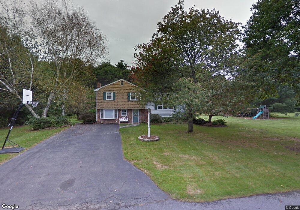
20 Wright Rd Sudbury, MA 01776
Estimated Value: $696,000 - $922,000
3
Beds
2
Baths
1,440
Sq Ft
$564/Sq Ft
Est. Value
About This Home
This home is located at 20 Wright Rd, Sudbury, MA 01776 and is currently estimated at $812,100, approximately $563 per square foot. 20 Wright Rd is a home located in Middlesex County with nearby schools including Israel Loring Elementary School, Ephraim Curtis Middle School, and Lincoln-Sudbury Regional High School.
Ownership History
Date
Name
Owned For
Owner Type
Purchase Details
Closed on
Aug 5, 2002
Sold by
Duarte Patricia F
Bought by
Graff Robin M and Graff Arlene M
Current Estimated Value
Home Financials for this Owner
Home Financials are based on the most recent Mortgage that was taken out on this home.
Original Mortgage
$240,000
Outstanding Balance
$102,209
Interest Rate
6.64%
Mortgage Type
Purchase Money Mortgage
Estimated Equity
$709,891
Create a Home Valuation Report for This Property
The Home Valuation Report is an in-depth analysis detailing your home's value as well as a comparison with similar homes in the area
Home Values in the Area
Average Home Value in this Area
Purchase History
We collect this data history from publicly available records. To have your information removed, we recommend requesting removal directly through your county’s website.
| Date | Buyer | Sale Price | Title Company |
|---|---|---|---|
| Graff Robin M | $300,000 | -- | |
| Graff Robin M | $300,000 | -- |
Source: Public Records
Mortgage History
We collect this data history from publicly available records. To have your information removed, we recommend requesting removal directly through your county’s website.
| Date | Status | Borrower | Loan Amount |
|---|---|---|---|
| Open | Graff Robin M | $240,000 | |
| Closed | Graff Robin M | $240,000 | |
| Previous Owner | Graff Robin M | $57,000 |
Source: Public Records
Tax History
| Year | Tax Paid | Tax Assessment Tax Assessment Total Assessment is a certain percentage of the fair market value that is determined by local assessors to be the total taxable value of land and additions on the property. | Land | Improvement |
|---|---|---|---|---|
| 2025 | $11,162 | $762,400 | $438,900 | $323,500 |
| 2024 | $10,788 | $738,400 | $426,100 | $312,300 |
| 2023 | $10,731 | $680,500 | $394,500 | $286,000 |
| 2022 | $10,077 | $558,300 | $362,100 | $196,200 |
| 2021 | $9,767 | $518,700 | $362,100 | $156,600 |
| 2020 | $9,570 | $518,700 | $362,100 | $156,600 |
| 2019 | $9,290 | $518,700 | $362,100 | $156,600 |
| 2018 | $9,266 | $516,800 | $386,100 | $130,700 |
| 2017 | $8,673 | $488,900 | $367,300 | $121,600 |
| 2016 | $8,427 | $473,400 | $353,300 | $120,100 |
| 2015 | $7,931 | $450,600 | $339,700 | $110,900 |
| 2014 | $7,868 | $436,400 | $329,700 | $106,700 |
Source: Public Records
Map
Nearby Homes
- 4 Maple Ave
- 58 Massasoit Ave
- 32 Old Framingham Rd Unit 41
- 80 Pokonoket Ave
- 217 Nobscot Rd
- 30 Nobscot Rd Unit 2
- 70 Harrington Rd
- 39 Hadley Rd
- 23 Kato Dr
- 62 Hemenway Rd
- 7 Edith Rd
- 83 Nicholas Rd Unit D
- 655 Water St
- 88 Elm St
- 55 Oxbow Rd Unit 55
- 5 Green Ln Unit 5
- 19 Chestnut St
- 33 Wallace Rd
- 18 Brookfield Terrace
- 106 Danforth St
Your Personal Tour Guide
Ask me questions while you tour the home.