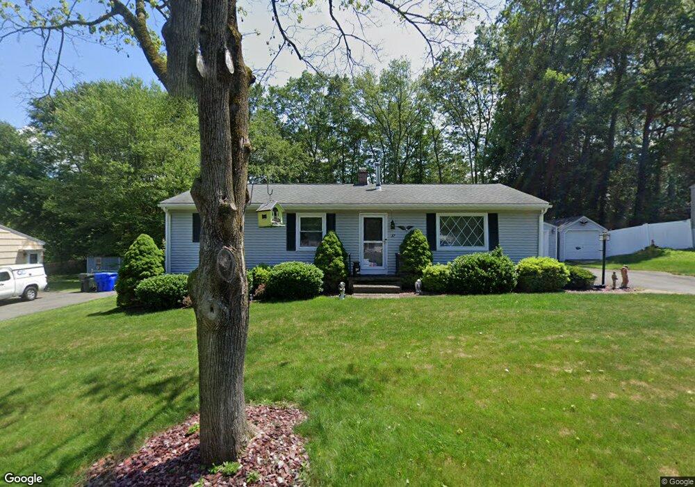
37 Zephyr Ln Springfield, MA 01128
Sixteen Acres NeighborhoodEstimated Value: $327,000 - $366,000
4
Beds
1
Bath
1,269
Sq Ft
$269/Sq Ft
Est. Value
About This Home
This home is located at 37 Zephyr Ln, Springfield, MA 01128 and is currently estimated at $341,411, approximately $269 per square foot. 37 Zephyr Ln is a home located in Hampden County with nearby schools including Daniel B Brunton, M Marcus Kiley Middle, and Springfield High School of Science and Technology.
Ownership History
Date
Name
Owned For
Owner Type
Purchase Details
Closed on
Sep 7, 2004
Sold by
Brown Clara H and Brown Robert S
Bought by
Brown Robert S
Current Estimated Value
Home Financials for this Owner
Home Financials are based on the most recent Mortgage that was taken out on this home.
Original Mortgage
$60,000
Outstanding Balance
$29,983
Interest Rate
6.01%
Mortgage Type
Purchase Money Mortgage
Estimated Equity
$311,428
Purchase Details
Closed on
Nov 28, 1979
Bought by
Brown Robert S
Create a Home Valuation Report for This Property
The Home Valuation Report is an in-depth analysis detailing your home's value as well as a comparison with similar homes in the area
Home Values in the Area
Average Home Value in this Area
Purchase History
| Date | Buyer | Sale Price | Title Company |
|---|---|---|---|
| Brown Robert S | -- | -- | |
| Brown Robert S | $39,900 | -- |
Source: Public Records
Mortgage History
| Date | Status | Borrower | Loan Amount |
|---|---|---|---|
| Open | Brown Robert S | $60,000 | |
| Previous Owner | Brown Robert S | $40,000 |
Source: Public Records
Tax History
| Year | Tax Paid | Tax Assessment Tax Assessment Total Assessment is a certain percentage of the fair market value that is determined by local assessors to be the total taxable value of land and additions on the property. | Land | Improvement |
|---|---|---|---|---|
| 2025 | $4,662 | $297,300 | $62,600 | $234,700 |
| 2024 | $4,391 | $273,400 | $62,600 | $210,800 |
| 2023 | $4,145 | $243,100 | $59,600 | $183,500 |
| 2022 | $3,922 | $208,400 | $62,800 | $145,600 |
| 2021 | $3,799 | $201,000 | $57,100 | $143,900 |
| 2020 | $3,697 | $189,300 | $57,100 | $132,200 |
| 2019 | $3,499 | $177,800 | $57,100 | $120,700 |
| 2018 | $3,540 | $179,900 | $57,100 | $122,800 |
| 2017 | $3,366 | $171,200 | $57,100 | $114,100 |
| 2016 | $3,236 | $164,600 | $57,100 | $107,500 |
| 2015 | $3,057 | $155,400 | $57,100 | $98,300 |
Source: Public Records
Map
Nearby Homes
- 17 Skyridge Ln
- 140 Slumber Ln
- 55 Allen St
- 1962 Allen St
- 0 Apple Blossom Ln
- 16 Deerfoot Dr
- 25 Angelica Dr
- 25 Laurelwood Ln
- 228 Acrebrook Rd
- 301 Tinkham Rd
- 46 Holland Dr
- 41 Hillside Dr
- 86 Wildwood Ave
- 60 Jeanne Marie St
- 25 Winding Brook Ln
- 17 Jeanne Marie St
- 81 W Crystal Brook Dr
- 24 Wands St
- 85 Talmadge Dr
- 86 Talmadge Dr
Your Personal Tour Guide
Ask me questions while you tour the home.