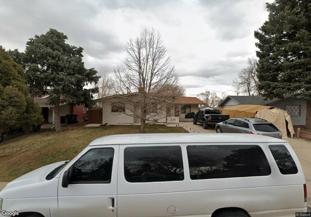
370 Agate St Broomfield, CO 80020
Broomfield Heights NeighborhoodEstimated Value: $498,299 - $612,000
4
Beds
2
Baths
2,015
Sq Ft
$272/Sq Ft
Est. Value
About This Home
This home is located at 370 Agate St, Broomfield, CO 80020 and is currently estimated at $548,075, approximately $271 per square foot. 370 Agate St is a home located in Broomfield County with nearby schools including Broomfield Heights Middle School, Broomfield High School, and Nativity: Faith and Reason.
Ownership History
Date
Name
Owned For
Owner Type
Purchase Details
Closed on
Oct 28, 2004
Sold by
Rada Raymond R and Rada Susan K
Bought by
Rodriguez Jose A and Rodriguez Elvia B
Current Estimated Value
Home Financials for this Owner
Home Financials are based on the most recent Mortgage that was taken out on this home.
Original Mortgage
$206,000
Outstanding Balance
$102,458
Interest Rate
5.73%
Mortgage Type
Purchase Money Mortgage
Estimated Equity
$445,617
Purchase Details
Closed on
Aug 22, 1985
Purchase Details
Closed on
Nov 5, 1980
Purchase Details
Closed on
Nov 15, 1977
Create a Home Valuation Report for This Property
The Home Valuation Report is an in-depth analysis detailing your home's value as well as a comparison with similar homes in the area
Home Values in the Area
Average Home Value in this Area
Purchase History
| Date | Buyer | Sale Price | Title Company |
|---|---|---|---|
| Rodriguez Jose A | $257,500 | -- | |
| -- | $70,000 | -- | |
| -- | $63,000 | -- | |
| -- | $44,000 | -- |
Source: Public Records
Mortgage History
| Date | Status | Borrower | Loan Amount |
|---|---|---|---|
| Open | Rodriguez Jose A | $206,000 |
Source: Public Records
Tax History
| Year | Tax Paid | Tax Assessment Tax Assessment Total Assessment is a certain percentage of the fair market value that is determined by local assessors to be the total taxable value of land and additions on the property. | Land | Improvement |
|---|---|---|---|---|
| 2025 | $2,847 | $31,220 | $9,050 | $22,170 |
| 2024 | $2,847 | $30,380 | $8,070 | $22,310 |
| 2023 | $2,841 | $35,330 | $9,380 | $25,950 |
| 2022 | $2,421 | $25,040 | $6,600 | $18,440 |
| 2021 | $2,408 | $25,760 | $6,790 | $18,970 |
| 2020 | $2,280 | $24,240 | $6,080 | $18,160 |
| 2019 | $2,276 | $24,410 | $6,120 | $18,290 |
| 2018 | $1,947 | $20,630 | $4,570 | $16,060 |
| 2017 | $1,918 | $22,800 | $5,050 | $17,750 |
| 2016 | $1,668 | $17,690 | $5,050 | $12,640 |
| 2015 | $1,611 | $14,280 | $5,050 | $9,230 |
| 2014 | $1,329 | $14,280 | $5,050 | $9,230 |
Source: Public Records
Map
Nearby Homes
- 215 Beryl Way
- 870 Hemlock Way
- 1075 Emerald St
- 1123 Oakhurst Dr
- 1118 Oakhurst Dr
- 190 Hemlock St
- 1422 Madero St Unit C17
- 740 Lotus Way
- 155 Jade St
- 265 Laurel St
- 1370 Daphne St
- 1320 Holly Dr E
- 865 Nickel St
- 1350 Holly Dr W
- 1156 Highland Park Dr
- 951 E 10th Ave
- 6801 W 118th Ave
- 1166 Opal St Unit 104
- 387 Oak Ln
- 286 E 12th Ave
Your Personal Tour Guide
Ask me questions while you tour the home.