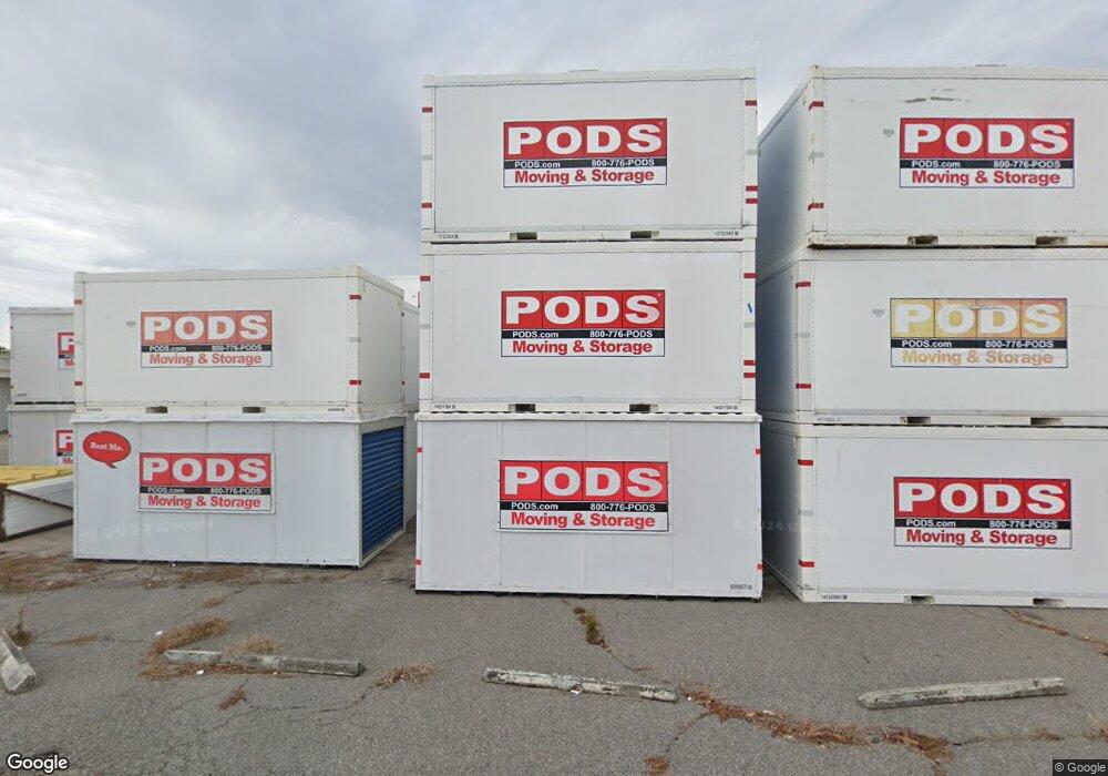
370 Allied Dr Unit Atlantic Center Conway, SC 29526
--
Bed
--
Bath
131,858
Sq Ft
16.19
Acres
About This Home
This home is located at 370 Allied Dr Unit Atlantic Center, Conway, SC 29526. 370 Allied Dr Unit Atlantic Center is a home located in Horry County with nearby schools including Waccamaw Elementary School, Black Water Middle School, and Carolina Forest High School.
Ownership History
Date
Name
Owned For
Owner Type
Purchase Details
Closed on
Jun 29, 2006
Sold by
Horry County
Bought by
370 Allied Llc
Home Financials for this Owner
Home Financials are based on the most recent Mortgage that was taken out on this home.
Original Mortgage
$1,300,000
Outstanding Balance
$769,646
Interest Rate
6.6%
Mortgage Type
Commercial
Create a Home Valuation Report for This Property
The Home Valuation Report is an in-depth analysis detailing your home's value as well as a comparison with similar homes in the area
Home Values in the Area
Average Home Value in this Area
Purchase History
| Date | Buyer | Sale Price | Title Company |
|---|---|---|---|
| 370 Allied Llc | $3,000,000 | None Available |
Source: Public Records
Mortgage History
| Date | Status | Borrower | Loan Amount |
|---|---|---|---|
| Open | 370 Allied Llc | $1,300,000 | |
| Closed | 370 Allied Llc | $1,625,000 |
Source: Public Records
Tax History Compared to Growth
Tax History
| Year | Tax Paid | Tax Assessment Tax Assessment Total Assessment is a certain percentage of the fair market value that is determined by local assessors to be the total taxable value of land and additions on the property. | Land | Improvement |
|---|---|---|---|---|
| 2024 | $192,520 | $714,887 | $48,267 | $666,620 |
| 2023 | $76,431 | $330,189 | $45,179 | $285,010 |
| 2021 | $75,275 | $552,078 | $60,306 | $491,772 |
| 2020 | $70,227 | $552,078 | $60,306 | $491,772 |
| 2019 | $70,227 | $552,078 | $60,306 | $491,772 |
| 2018 | $63,576 | $287,228 | $39,392 | $247,836 |
| 2017 | $62,729 | $287,228 | $39,392 | $247,836 |
| 2016 | -- | $338,936 | $39,392 | $299,544 |
| 2015 | $39,296 | $213,981 | $46,173 | $167,808 |
| 2014 | $38,024 | $213,981 | $46,173 | $167,808 |
Source: Public Records
Map
Nearby Homes
- 4009 Sweetspire Ct
- 4005 Sweetspire Ct
- 118 Clemson Rd
- 876 Old Magnolia Dr
- 2430 E Highway 501
- 1009 Dowitcher Dr
- 125 Carolina Rd Unit DD-1
- 440 E Cox Ferry Rd
- 911 Old Magnolia Dr
- 496 Royal Arch Dr
- 924 Akron St
- 480 Royal Arch Dr
- 132 Columbus St Unit Cali
- 2236 Wood Stork Dr
- TBD University Plaza Dr Unit Parcel B
- 990 Jamestown Rd
- 1025 Carolina Rd Unit A-1
- 1025 Carolina Rd Unit I7
- 1025 Carolina Rd Unit G-3
- 1025 Carolina Rd Unit R1
- 370 Allied Dr Unit 15,000 SF
- 370 Allied Dr Unit 9,000 SF
- 370 Allied Dr
- 370 Allied Dr Unit A&B
- 370 Allied Dr Unit B
- 370 Allied Dr Unit A
- 201 Graduate Rd
- 201 Graduate Rd Unit 110
- 201 Graduate Rd Unit 113
- 201 Graduate Rd Unit 108
- 201 Graduate Rd Unit University Commons,
- 201 Graduate Rd Unit 102, University
- 201 Graduate Rd Unit 107_University
- 201 Graduate Rd
- 201 Graduate Rd Unit 101_University
- 201 Graduate Rd Unit 115_University
- 201 Graduate Rd Unit 114_University
- 450 Century Cir
- 450 Century Cir
- 450 Century Cir Unit C
