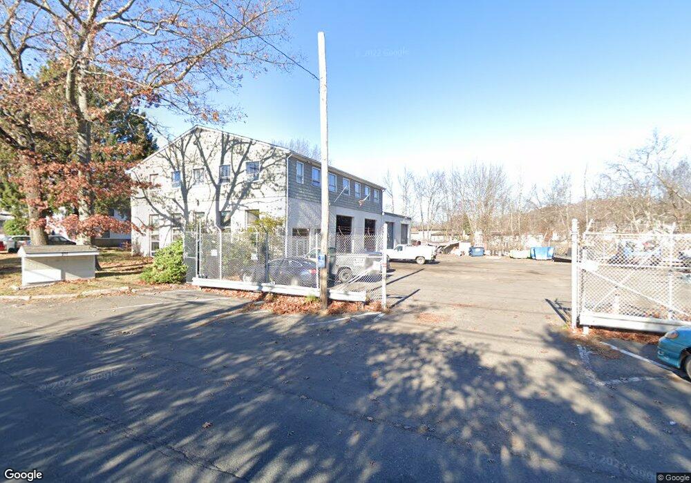
370 Ardale St West Haven, CT 06516
Allingtown NeighborhoodEstimated Value: $956,484
--
Bed
--
Bath
8,000
Sq Ft
$120/Sq Ft
Est. Value
About This Home
This home is located at 370 Ardale St, West Haven, CT 06516 and is currently estimated at $956,484, approximately $119 per square foot. 370 Ardale St is a home located in New Haven County with nearby schools including Carrigan 5/6 Intermediate School, Harry M. Bailey Middle School, and West Haven High School.
Ownership History
Date
Name
Owned For
Owner Type
Purchase Details
Closed on
Jan 12, 2017
Sold by
Castro Luis A
Bought by
370 Ardale Street Llc
Current Estimated Value
Purchase Details
Closed on
Jun 4, 1992
Sold by
A Laugeni & Son Inc
Bought by
G & J Realty Assoc Lp
Home Financials for this Owner
Home Financials are based on the most recent Mortgage that was taken out on this home.
Original Mortgage
$260,000
Interest Rate
8.8%
Mortgage Type
Commercial
Create a Home Valuation Report for This Property
The Home Valuation Report is an in-depth analysis detailing your home's value as well as a comparison with similar homes in the area
Home Values in the Area
Average Home Value in this Area
Purchase History
| Date | Buyer | Sale Price | Title Company |
|---|---|---|---|
| 370 Ardale Street Llc | -- | -- | |
| Castro Luis A | $500,000 | -- | |
| 370 Ardale Street Llc | -- | -- | |
| G & J Realty Assoc Lp | $260,000 | -- |
Source: Public Records
Mortgage History
| Date | Status | Borrower | Loan Amount |
|---|---|---|---|
| Previous Owner | G & J Realty Assoc Lp | $260,000 | |
| Previous Owner | G & J Realty Assoc Lp | $500,000 |
Source: Public Records
Tax History Compared to Growth
Tax History
| Year | Tax Paid | Tax Assessment Tax Assessment Total Assessment is a certain percentage of the fair market value that is determined by local assessors to be the total taxable value of land and additions on the property. | Land | Improvement |
|---|---|---|---|---|
| 2025 | $14,563 | $428,190 | $99,540 | $328,650 |
| 2024 | $18,525 | $386,820 | $94,780 | $292,040 |
| 2023 | $17,956 | $386,820 | $94,780 | $292,040 |
| 2022 | $17,643 | $386,820 | $94,780 | $292,040 |
| 2021 | $17,647 | $386,820 | $94,780 | $292,040 |
| 2020 | $17,225 | $334,460 | $81,200 | $253,260 |
| 2019 | $16,957 | $334,460 | $81,200 | $253,260 |
| 2018 | $16,496 | $334,460 | $81,200 | $253,260 |
| 2017 | $15,980 | $334,460 | $81,200 | $253,260 |
| 2016 | $15,496 | $334,460 | $81,200 | $253,260 |
| 2015 | $15,438 | $379,400 | $90,230 | $289,170 |
| 2014 | $15,130 | $379,400 | $90,230 | $289,170 |
Source: Public Records
Map
Nearby Homes
- 8 Tetlow St
- 29 Ipswich St
- 124 Malcolm Rd
- 1 Rodney St
- 149 Canton St Unit 18
- 39 Medford St
- 53 Daytona St
- 23 Lydia St
- 0 Burwell & Woodfield Rd Unit 24051262
- 12 Collins Dr
- 148 Burwell Rd
- 0 Burwell Rd
- 140 Burwell Rd
- 81 Homeside Ave
- 625 Lakeview Rd
- 588 Summit Dr
- 63 Glade St Unit C1
- 55 Chauncey St
- 462 Grace Trail
- 89 Coleman St Unit 121
- 370 Ardale St Unit 2B
- 370 Ardale St Unit 2A
- 370 Ardale St Unit 2
- 370 Ardale St Unit 1
- 127 Ardale St
- 32 Swampscott St
- 49 Fresh Meadow Rd
- 117 Ardale St
- 37 Swampscott St
- 65 Fresh Meadow Rd
- 46 Swampscott St
- 115 Ardale St
- 52 Swampscott St
- 26 Swampscott St
- 56 Swampscott St
- 45 Swampscott St
- 20 Swampscott St
- 91 Eaton St
- 35 Fresh Meadow Rd
- 14 Swampscott St