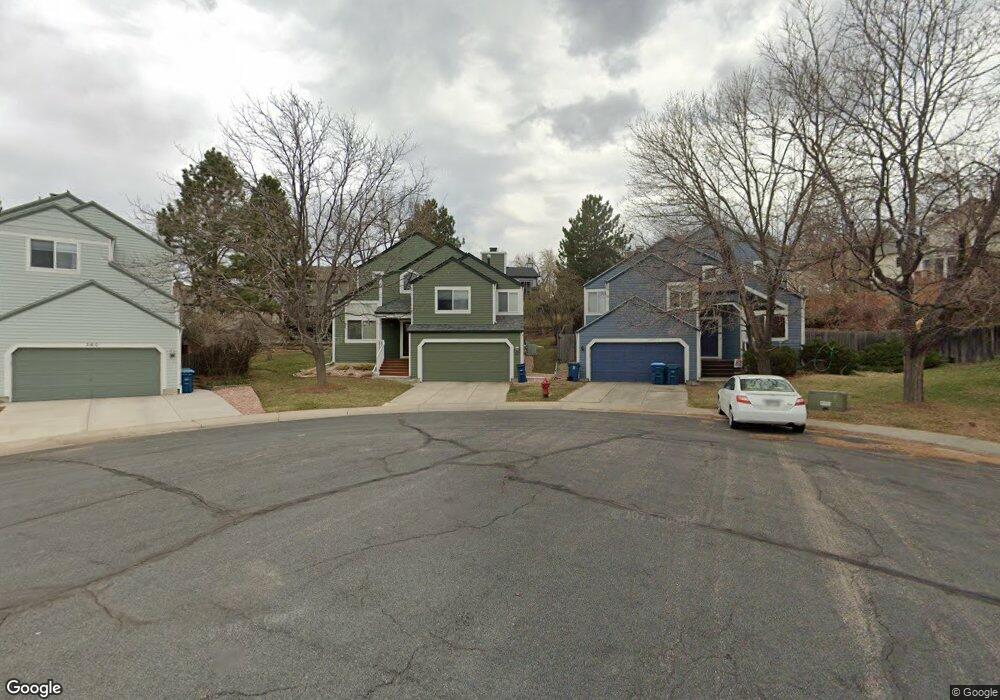
370 Bobolink Ct Louisville, CO 80027
Estimated Value: $736,000 - $816,000
3
Beds
2
Baths
1,716
Sq Ft
$452/Sq Ft
Est. Value
About This Home
This home is located at 370 Bobolink Ct, Louisville, CO 80027 and is currently estimated at $775,200, approximately $451 per square foot. 370 Bobolink Ct is a home located in Boulder County with nearby schools including Coal Creek Elementary School, Louisville Middle School, and Monarch High School.
Ownership History
Date
Name
Owned For
Owner Type
Purchase Details
Closed on
Nov 29, 1993
Sold by
Williams Eric N and Dieball Susan M
Bought by
Pierce Tracey A
Current Estimated Value
Purchase Details
Closed on
Apr 1, 1992
Bought by
Pierce Tracey A
Purchase Details
Closed on
May 17, 1991
Bought by
Pierce Tracey A
Purchase Details
Closed on
May 13, 1991
Bought by
Pierce Tracey A
Create a Home Valuation Report for This Property
The Home Valuation Report is an in-depth analysis detailing your home's value as well as a comparison with similar homes in the area
Home Values in the Area
Average Home Value in this Area
Purchase History
| Date | Buyer | Sale Price | Title Company |
|---|---|---|---|
| Pierce Tracey A | $159,900 | -- | |
| Pierce Tracey A | $116,800 | -- | |
| Pierce Tracey A | $319,000 | -- | |
| Pierce Tracey A | $269,500 | -- |
Source: Public Records
Tax History Compared to Growth
Tax History
| Year | Tax Paid | Tax Assessment Tax Assessment Total Assessment is a certain percentage of the fair market value that is determined by local assessors to be the total taxable value of land and additions on the property. | Land | Improvement |
|---|---|---|---|---|
| 2025 | $4,097 | $46,750 | $22,956 | $23,794 |
| 2024 | $4,097 | $46,750 | $22,956 | $23,794 |
| 2023 | $4,028 | $45,587 | $27,490 | $21,782 |
| 2022 | $3,693 | $38,378 | $21,788 | $16,590 |
| 2021 | $3,657 | $39,482 | $22,415 | $17,067 |
| 2020 | $3,395 | $36,279 | $17,589 | $18,690 |
| 2019 | $3,347 | $36,279 | $17,589 | $18,690 |
| 2018 | $2,920 | $32,681 | $9,144 | $23,537 |
| 2017 | $2,862 | $36,130 | $10,109 | $26,021 |
| 2016 | $2,575 | $29,269 | $11,303 | $17,966 |
| 2015 | $2,441 | $26,005 | $10,507 | $15,498 |
| 2014 | $2,223 | $26,005 | $10,507 | $15,498 |
Source: Public Records
Map
Nearby Homes
- 253 W Cedar Way
- 142 Pheasant Run
- 152 Pheasant Run
- 215 Sunland St
- 1919 Quail Ct
- 338 Pheasant Run
- 419 Centennial Dr
- 1615 Cottonwood Dr Unit 9
- 1612 Cottonwood Dr Unit 11W
- 357 W Harper St
- 1608 Cottonwood Dr Unit 11
- 322 W Harper St
- 9110 Davidson Way
- 1420 N Franklin Ct
- 1610 Longs Peak Dr
- 501 W Linden St
- 145 Brittany Ln
- 1851 Gallagher Ln
- 2849 Crater Lake Ln
- 9224 Baseline Rd
- 365 Bobolink Ct
- 360 Bobolink Ct
- 2143 Dogwood Cir
- 2155 Dogwood Cir
- 2135 Dogwood Cir
- 2161 Dogwood Cir
- 359 Bobolink Ct
- 346 Bobolink Ct
- 2129 Dogwood Cir
- 2348 Dogwood Cir
- 2169 Dogwood Cir
- 353 Bobolink Ct
- 2179 Dogwood Cir
- 2200 Dogwood Cir
- 2352 Dogwood Cir
- 339 Bobolink Ct
- 2121 Dogwood Cir
- 2208 Dogwood Cir
- 2144 Dogwood Cir
- 2150 Dogwood Cir